
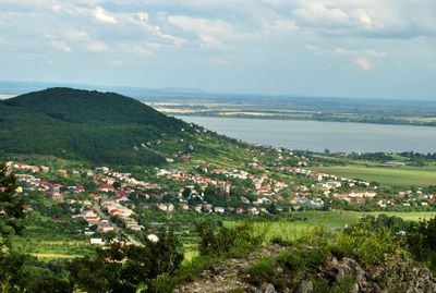
Vinné, municipality of Slovakia
Location: Michalovce District
Inception: 1249
Elevation above the sea: 145 m
Shares border with: Kaluža
Website: http://vinne.sk
GPS coordinates: 48.80833,21.96667
Latest update: March 7, 2025 11:47
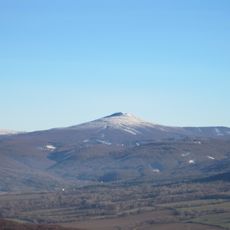
Vihorlat Mountains
2.3 km
Vinné Castle
1.8 km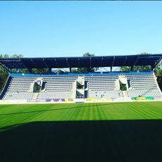
Zemplin Stadium
6.5 km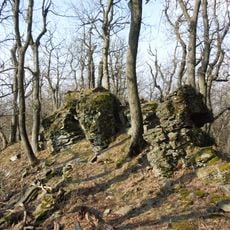
Kyjovský prales
6.8 km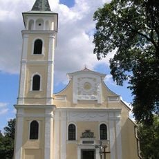
Church of the Nativity of the Blessed Virgin Mary
6.4 km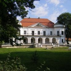
Schloss Michalovce
6.4 km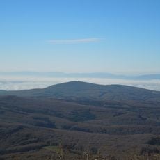
Kyjov (vrch vo Vihorlatských vrchoch)
6.3 km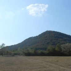
Vinianský hradný vrch
1.6 km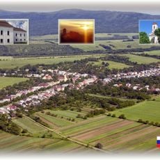
Laborecká niva
6.7 km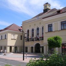
Town hall in Michalovce
6.8 km
Kino Capitol
6.6 km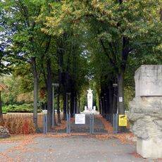
Vojenský cintorín sov. armády, pomník
6.9 km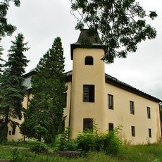
Vinné Manor house
32 m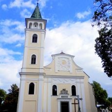
Kostol Narodenia Panny Márie
6.4 km
Vojenský cintorín sov. armády, hroby s náhrobníkmi
6.9 km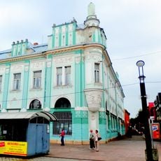
Slovenská banka, Obchodný dom
6.7 km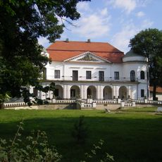
Sztárayovský kaštieľ, kaštieľ
6.4 km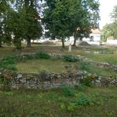
Zaniknutý kostol s areálom, kostol základy
6.4 km
Pomník padlým červenoarmejcom
6.7 km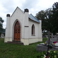
Kaplnka
461 m
Legiobanka, Roľnícka b. , Knižnic
6.6 km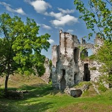
Viniansky hrad, palác hradný
1.8 km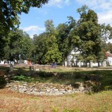
Sztárayovský kaštieľ, park
6.4 km
Hotel U zlatého býka, Dom pion.
6.6 km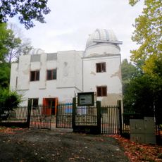
Moussonov dom, hvezdáreň
6.8 km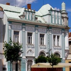
Tatrabanka
6.7 km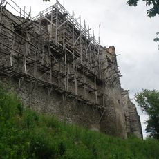
Viniansky hrad, opevnenie hradu
1.8 km
Sztárayovský kaštieľ, koniareň
6.4 kmReviews
Visited this place? Tap the stars to rate it and share your experience / photos with the community! Try now! You can cancel it anytime.
Discover hidden gems everywhere you go!
From secret cafés to breathtaking viewpoints, skip the crowded tourist spots and find places that match your style. Our app makes it easy with voice search, smart filtering, route optimization, and insider tips from travelers worldwide. Download now for the complete mobile experience.

A unique approach to discovering new places❞
— Le Figaro
All the places worth exploring❞
— France Info
A tailor-made excursion in just a few clicks❞
— 20 Minutes