
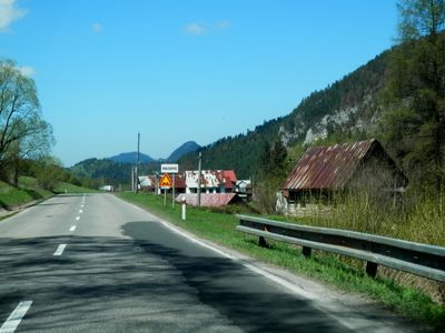
Haligovce, municipality of Slovakia
Location: District of Stará Ľubovňa
Website: https://www.obechaligovce.sk/
Website: https://obechaligovce.sk
GPS coordinates: 49.37651,20.44870
Latest update: March 18, 2025 22:33

Pieniny National Park
2.4 km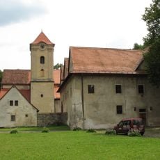
Rotes Kloster
3.4 km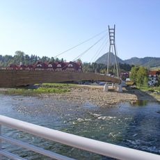
Kładka w Sromowcach Niżnych
3.4 km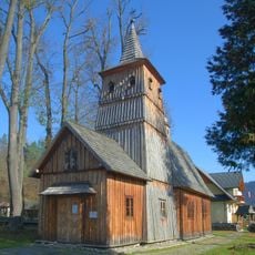
Saint Catherine of Alexandria church in Sromowce Niżne
3.8 km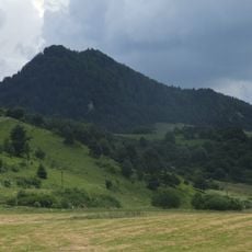
Aksamitka
2 km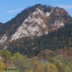
Facimiech (Pieniny)
3.6 km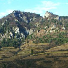
Aksamitka (jaskinia)
760 m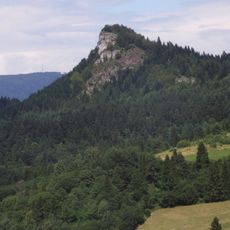
Rabsztyn
4.7 km
Łysina (Pieniny)
4.1 km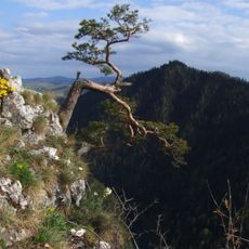
Golica (Pieniny)
3.6 km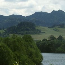
Płaśnie
1.2 km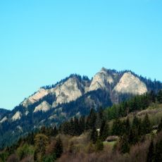
Haligovské skaly
954 m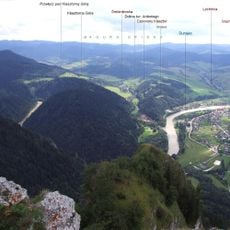
Klosterberg
3.3 km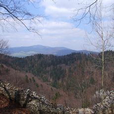
Borsucza Jama
4.2 km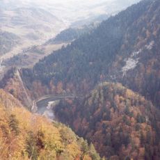
Przechodni Wierch
4.1 km
Jaskinia w Facimiechu
3.8 km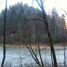
Klejowa Góra
2.9 km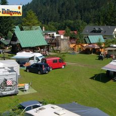
GORALSKÝ DVOR
775 m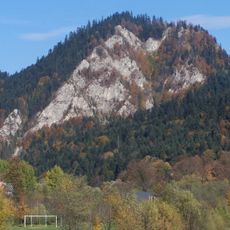
Schronisko Zakonnicy
3.8 km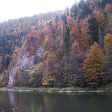
Jaskinia w Świniej Skale
3.1 km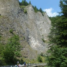
Prielom Lesnického potoka
4.2 km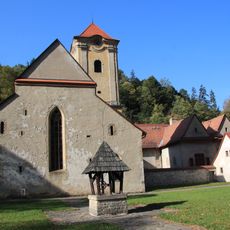
Červený Kláštor church
3.6 km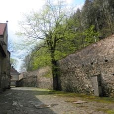
Kartuziánsky kláštor, múr hradbový s bránou
3.6 km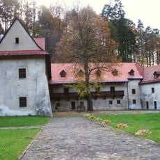
Kartuziánsky kláštor, stavba hospodárska I.
3.6 km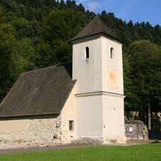
Kartuziánsky kláštor, zvonica
3.3 km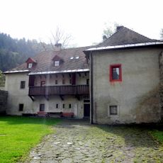
Kartuziánsky kláštor, mlyn vodný
3.6 km
Kartuziánsky kláštor, dom mníšsky II.
3.6 km
Kartuziánsky kláštor, konvent
3.6 kmReviews
Visited this place? Tap the stars to rate it and share your experience / photos with the community! Try now! You can cancel it anytime.
Discover hidden gems everywhere you go!
From secret cafés to breathtaking viewpoints, skip the crowded tourist spots and find places that match your style. Our app makes it easy with voice search, smart filtering, route optimization, and insider tips from travelers worldwide. Download now for the complete mobile experience.

A unique approach to discovering new places❞
— Le Figaro
All the places worth exploring❞
— France Info
A tailor-made excursion in just a few clicks❞
— 20 Minutes