
Červený kríž, národná kultúrna pamiatka v obci Poprad, okrese Poprad
Location: District of Poprad
GPS coordinates: 49.06601,20.31791
Latest update: November 29, 2025 16:55
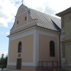
Evanjelický kostol
48 m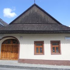
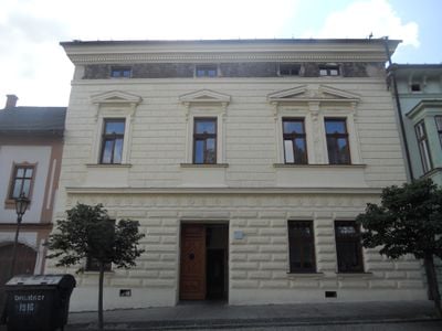
Meštiansky dom
71 m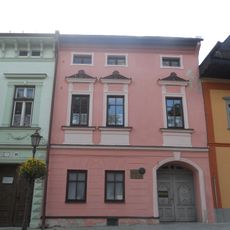
Rod. dom T. Székelyho
25 m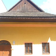
Meštiansky dom
89 m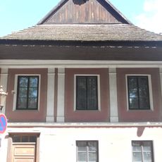
Meštiansky dom
74 m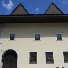
Meštiansky dom
50 m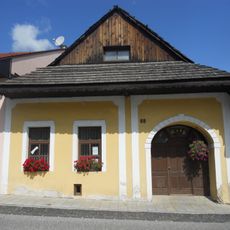
Meštiansky dom
56 m
Meštiansky dom
21 m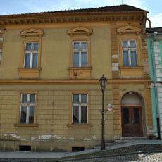
Býv. materská škola
31 m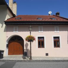
Meštiansky dom
62 m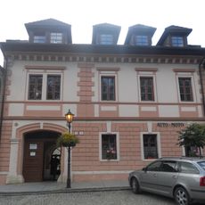
Meštiansky dom
67 m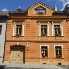
Meštiansky dom
110 m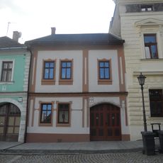
Meštiansky dom
14 m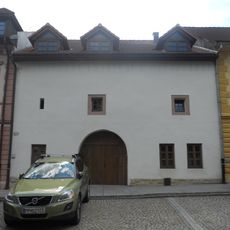
Meštiansky dom
80 m
Železničná stanica Svit
46 m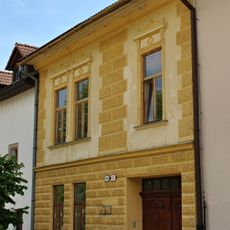
Meštiansky dom
87 m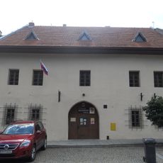
Múzeum
103 m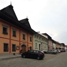
Meštiansky dom
54 m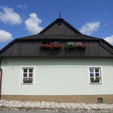
Meštiansky dom
92 m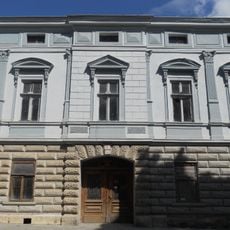
Lekáreň U strážneho anjela
99 m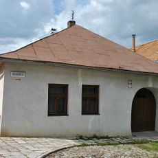
Meštiansky dom
84 m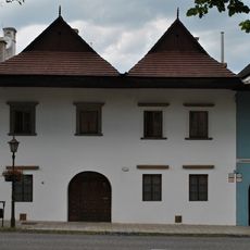
Meštiansky dom
55 m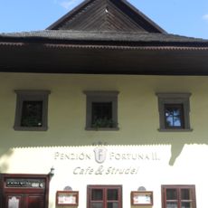
Meštiansky dom
61 m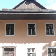
Meštiansky dom
66 m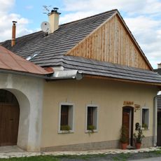
Penzión Evka
86 m
Meštiansky dom
51 m
Meštiansky dom
61 m
Meštiansky dom
19 mReviews
Visited this place? Tap the stars to rate it and share your experience / photos with the community! Try now! You can cancel it anytime.
Discover hidden gems everywhere you go!
From secret cafés to breathtaking viewpoints, skip the crowded tourist spots and find places that match your style. Our app makes it easy with voice search, smart filtering, route optimization, and insider tips from travelers worldwide. Download now for the complete mobile experience.

A unique approach to discovering new places❞
— Le Figaro
All the places worth exploring❞
— France Info
A tailor-made excursion in just a few clicks❞
— 20 Minutes