
Berehomet, human settlement
Location: Vyzhnytsia Raion
Location: Vyzhnytsia Raion
Elevation above the sea: 467 m
GPS coordinates: 48.19000,25.37667
Latest update: March 4, 2025 15:49
Vyzhnytsia National Nature Park
9.2 km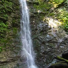
Bukovina waterfalls
17.4 km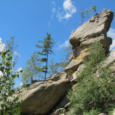
Skeli Kinashky
15.7 km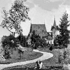
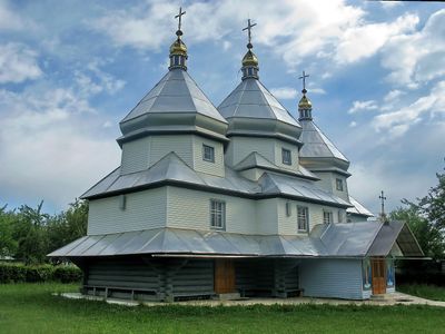
Berhomet Castle
4.8 km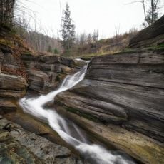
Waterfall Korolivskyi
18.1 km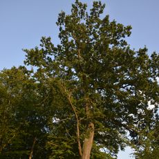
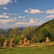
Zubrovytsia
18.2 km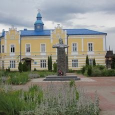
Vyzhnytsia cityhall
15.7 km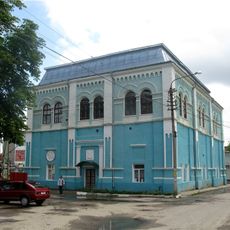
Great Synagogue in Vyzhnytsia
15.6 km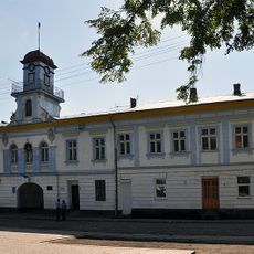
Кутська ратуша
16.7 km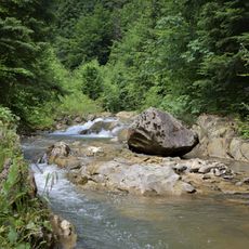
Lopushnianski vodohraii
16 km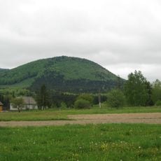
Siretski Rocks
5.1 km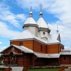
Church of Transfiguration in Stari Kuty
17.5 km
Vyzhnytskyi
15.2 km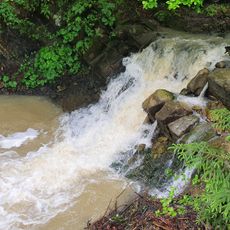
Lekechi Waterfall
11.7 km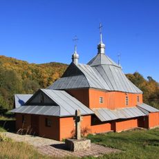
St. Ivan Suchavskyi Church
15.7 km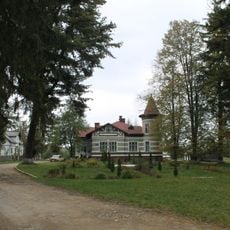
Banyliv Park
13.7 km
Berehometskyi
4.1 km
Karapchivskyi
17.1 km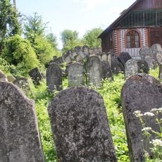
Jewish cemetery in Vyzhnytsia
14.3 km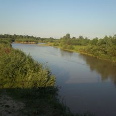
Siret Zakaznyk
7.4 km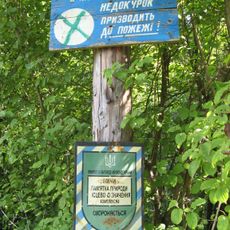
Nimchych preserve
16.5 km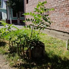
Cork tree
15.3 km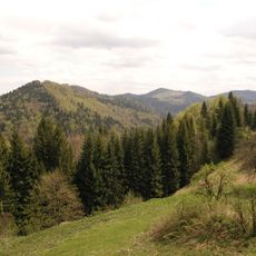
Tovarnytsia
17.2 km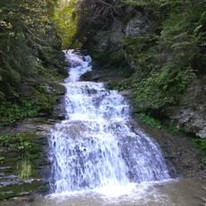
Seredniy Huk
17.4 km
Two Platans
15.2 km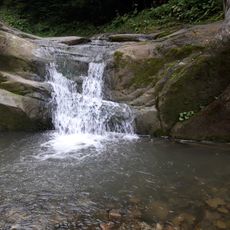
Vorota
17.5 km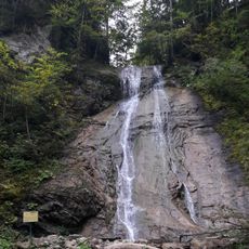
Velykyi Huk
17.1 km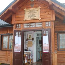
Музей-садиба Назарія Яремчука
16.9 kmReviews
Visited this place? Tap the stars to rate it and share your experience / photos with the community! Try now! You can cancel it anytime.
Discover hidden gems everywhere you go!
From secret cafés to breathtaking viewpoints, skip the crowded tourist spots and find places that match your style. Our app makes it easy with voice search, smart filtering, route optimization, and insider tips from travelers worldwide. Download now for the complete mobile experience.

A unique approach to discovering new places❞
— Le Figaro
All the places worth exploring❞
— France Info
A tailor-made excursion in just a few clicks❞
— 20 Minutes