
Johnston, community in Pembrokeshire, Wales
Location: Pembrokeshire
Shares border with: Haverfordwest
GPS coordinates: 51.75400,-4.99760
Latest update: April 6, 2025 18:17
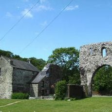
Pill Priory
4.3 km
Scoveston Fort
4 km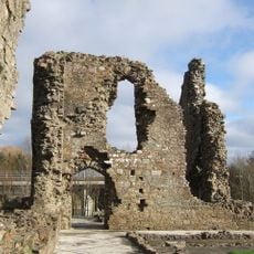
Haverfordwest Priory
5.4 km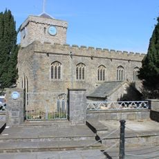
St Mary's Church, Haverfordwest
5.5 km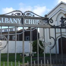
Albany Methodist & United Reformed Church
5.3 km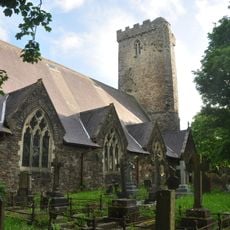
Church of Saint Thomas a Becket
5.5 km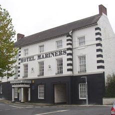
Hotel Mariners
5.6 km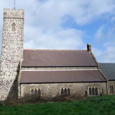
Church Of St Peter & St Cewydd
2.9 km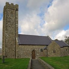
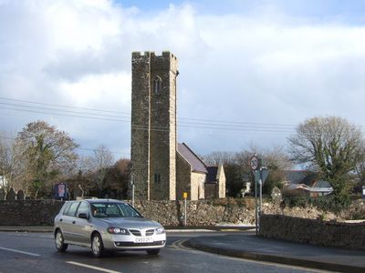
Church Of St Peter
16 m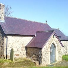
Church of St Issel
4.9 km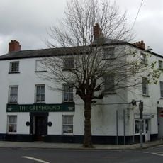
The Greyhound
5.6 km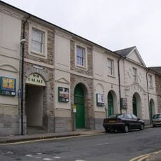
Palace Cinema
5.4 km
No. 60 Dew Street (The Lamb Inn Public House), Haverfordwest
5.3 km
Nos 8 and 8A Spring Gardens, including area railings
5.6 km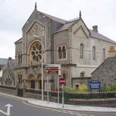
Bethesda English Baptist Church
5.6 km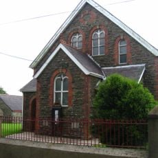
Sardis English Baptist Church
4.2 km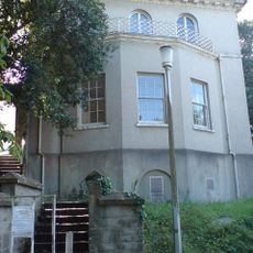
Foley House
5.5 km
The Liberal Chambers
5.6 km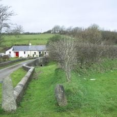
Haystone Bridge
1.7 km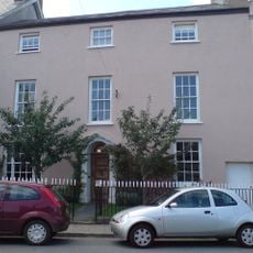
Grove End and railings
5.3 km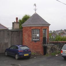
Gazebo to NE of No. 33 Hill Lane
5.6 km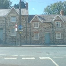
No 21 Perrot's Terrace
5.3 km
No 37 Perrot's Terrace
5.2 km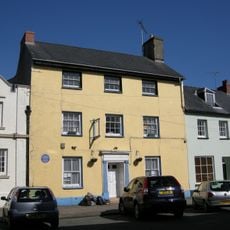
Dragon House
5.3 km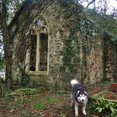
Boulston parish church
5 km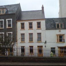
No. 6 High Street (Premises Occupied By S. D. Pugh And Son), Haverfordwest
5.6 km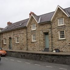
No 35 Perrot's Terrace
5.2 km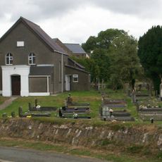
Mount Zion Congregational Chapel
4.7 kmReviews
Visited this place? Tap the stars to rate it and share your experience / photos with the community! Try now! You can cancel it anytime.
Discover hidden gems everywhere you go!
From secret cafés to breathtaking viewpoints, skip the crowded tourist spots and find places that match your style. Our app makes it easy with voice search, smart filtering, route optimization, and insider tips from travelers worldwide. Download now for the complete mobile experience.

A unique approach to discovering new places❞
— Le Figaro
All the places worth exploring❞
— France Info
A tailor-made excursion in just a few clicks❞
— 20 Minutes