
Laureldale, borough of Pennsylvania
Location: Berks County
Inception: 1930
GPS coordinates: 40.38920,-75.91420
Latest update: June 6, 2025 13:48
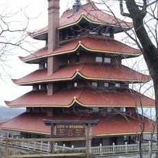
Pagoda
6 km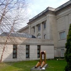
Reading Public Museum
7.6 km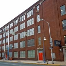
GoggleWorks
5.9 km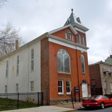
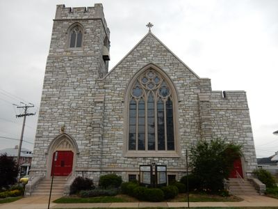
Bethel A.M.E. Church
5.8 km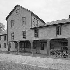
Gruber Wagon Works
5.9 km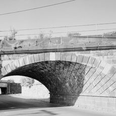
Skew Arch Bridge
5.3 km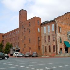
Reading Hardware Company
7.2 km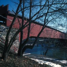
Wertz's Covered Bridge
5.9 km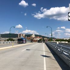
Penn Street Bridge
6.3 km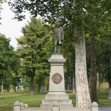
Frederick Lauer Monument
6.1 km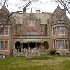
Stirling
4.4 km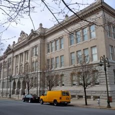
City Hall
5.8 km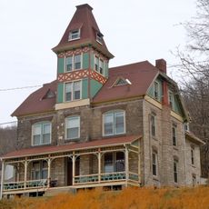
Peter Wanner Mansion
5.7 km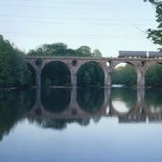
Peacock's Lock Viaduct
3.7 km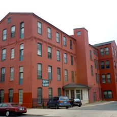
Reading Knitting Mills
5.7 km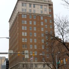
Metropolitan Edison Building
6 km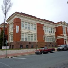
Charles S. Foos Elementary School
5 km
Red Men Hall
5.6 km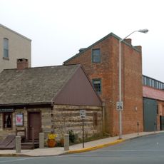
Log House, Hiester House and Market Annex
6.3 km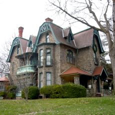
Wilhelm Mansion and Carriage House
5 km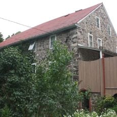
Guldin Mill
6 km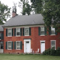
Rieser-Shoemaker Farm
6.8 km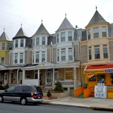
Queen Anne Historic District
4.9 km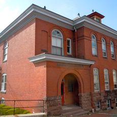
Cotton and Maple Streets School
6.8 km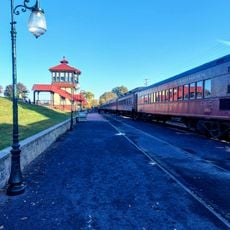
Reading Blue Mountain & Northern Railroad
1.7 km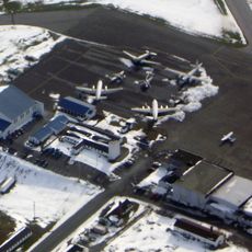
Mid-Atlantic Air Museum
4.5 km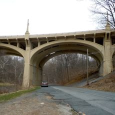
Lindbergh Viaduct
6.6 km
Livingood House-Stryker Hospital
5.9 kmReviews
Visited this place? Tap the stars to rate it and share your experience / photos with the community! Try now! You can cancel it anytime.
Discover hidden gems everywhere you go!
From secret cafés to breathtaking viewpoints, skip the crowded tourist spots and find places that match your style. Our app makes it easy with voice search, smart filtering, route optimization, and insider tips from travelers worldwide. Download now for the complete mobile experience.

A unique approach to discovering new places❞
— Le Figaro
All the places worth exploring❞
— France Info
A tailor-made excursion in just a few clicks❞
— 20 Minutes