
Riceville, city in Iowa, United States
Location: Iowa
Elevation above the sea: 375 m
GPS coordinates: 43.36250,-92.55333
Latest update: March 7, 2025 12:14
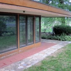
Alvin Miller House
34.6 km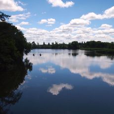
Lake Louise State Park
19.2 km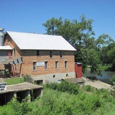
Lidtke Mill
24.9 km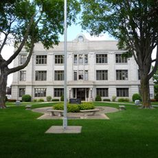
Chickasaw County Courthouse
29.8 km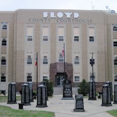
Floyd County Court House
34.7 km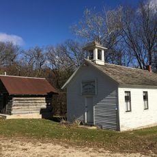
Walnut Grove School
32.7 km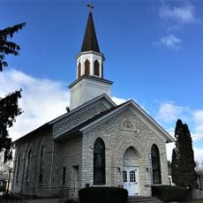
First Lutheran Church
30.2 km
Dr. Salsbury's Laboratories, Main Office and Production Laboratory Building
34.9 km
Wildwood Park Historic District
35.3 km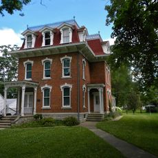
Kellow House
35 km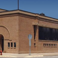
First State Bank of Le Roy
16.9 km
Osage Commercial Historic District
22.6 km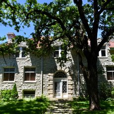
Sherman Nursery Company Historic District
34.9 km
A. B. C. Dodd House
34.4 km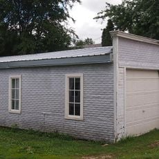
Pietenpol Workshop and Garage
33 km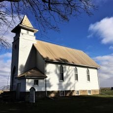
Union Presbyterian Church
24.5 km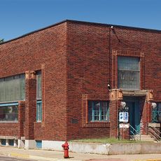
First National Bank of Adams
26.4 km
James C. Fellows House
243 m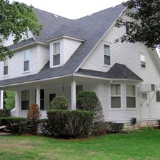
Charles Henry Parr House
33.9 km
LeRoy Public Library
17.1 km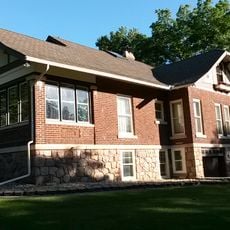
Charles Walter Hart House
34.2 km
Main Street Bridge
34.6 km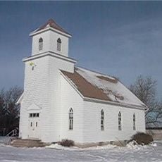
Howardville Wesleyan Church
23 km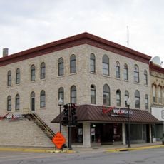
Central Park-North Main Street Historic District
34.3 km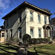
Nathaniel Cobb and Lucetia Baily Deering House
22.4 km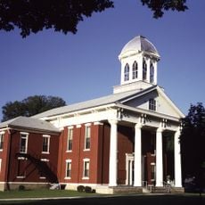
Mitchell County Courthouse
31.4 km
Lake Louise
18.5 km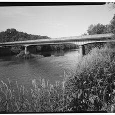
Cedar River Bridge
26 kmVisited this place? Tap the stars to rate it and share your experience / photos with the community! Try now! You can cancel it anytime.
Discover hidden gems everywhere you go!
From secret cafés to breathtaking viewpoints, skip the crowded tourist spots and find places that match your style. Our app makes it easy with voice search, smart filtering, route optimization, and insider tips from travelers worldwide. Download now for the complete mobile experience.

A unique approach to discovering new places❞
— Le Figaro
All the places worth exploring❞
— France Info
A tailor-made excursion in just a few clicks❞
— 20 Minutes