
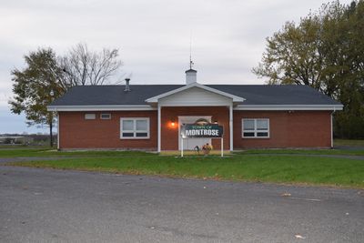
Montrose, civil town in Dane County, Wisconsin
Location: Dane County
Elevation above the sea: 270 m
Shares border with: Springdale
GPS coordinates: 42.88278,-89.57722
Latest update: May 26, 2025 22:26
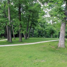
New Glarus Woods State Park
11.4 km
Holy Name Seminary
19.3 km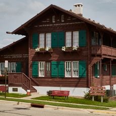
Chalet of the Golden Fleece
9 km
Vitense Golfland
19.8 km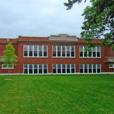
Red Brick School
16.6 km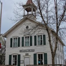
New Glarus Town Hall
8.6 km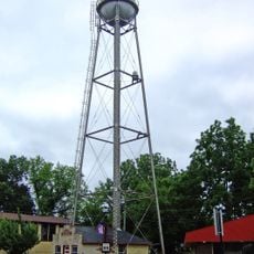
Oregon Water Tower and Pump House
16.5 km
John Sweet Donald Farmstead
12.7 km
Cleveland's Hall and Blacksmith Shop
14.8 km
Hefty–Blum Farmstead
15.4 km
Aslak Lie Cabin
17 km
John and Flora Gilbert House
16.7 km
South Main Street Historic District
16.4 km
Oregon Masonic Lodge
16.4 km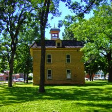
Library Park
4.4 km
John Fritz Farmstead
1.7 km
Lincoln Street Historic District
16.6 km
Eric and Jerome Skindrud Farm
17.9 km
Dr. Samuel Blumer House
8.9 km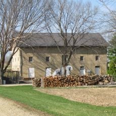
Lockwood Barn
20.9 km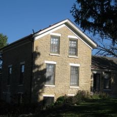
Daniel Pond Farmhouse
20.2 km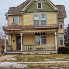
John C. and Barbara Steinman House
15.7 km
Verona Public Library
13.4 km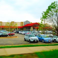
Fitchburg 18 + IMAX
17.2 km
Marcus Point UltraScreen Cinemas
20 km
McCoy Farmhouse
20.7 km
John Mann House
16.2 km
Nakoma Historic District
20.9 kmVisited this place? Tap the stars to rate it and share your experience / photos with the community! Try now! You can cancel it anytime.
Discover hidden gems everywhere you go!
From secret cafés to breathtaking viewpoints, skip the crowded tourist spots and find places that match your style. Our app makes it easy with voice search, smart filtering, route optimization, and insider tips from travelers worldwide. Download now for the complete mobile experience.

A unique approach to discovering new places❞
— Le Figaro
All the places worth exploring❞
— France Info
A tailor-made excursion in just a few clicks❞
— 20 Minutes