
LaGrange, human settlement in LaGrange County, Indiana, United States of America
Location: LaGrange County
Elevation above the sea: 284 m
GPS coordinates: 41.64360,-85.41720
Latest update: March 19, 2025 04:39
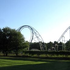
Afterburner
32.3 km
Noble County Sheriff's House and Jail
27.6 km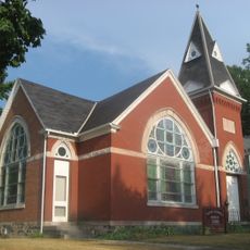
Ahavas Shalom Reform Temple
24.8 km
St. Joseph County Courthouse
32.4 km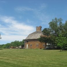
Cornish Griffin Round Barn
31.8 km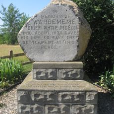
Wahbememe Burial Site and Monument
26.7 km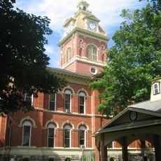
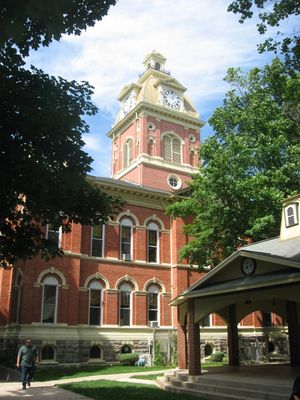
LaGrange County Courthouse
150 m
John Badlam Howe Mansion
9 km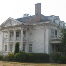
Jacob Straus House
24.6 km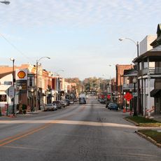
Ligonier Historic District
24.8 km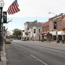
Kendallville Downtown Historic District
25.7 km
General Land Office
25.5 km
Art Gallery Building
30.4 km
Stone's Trace
28 km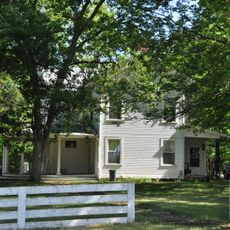
Samuel P. Williams House
8.7 km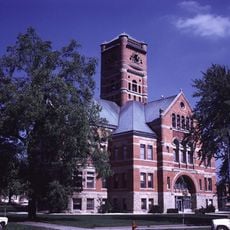
Albion Courthouse Square Historic District
27.5 km
Menno Yoder Polygonal Barn
15.3 km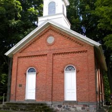
Collins School
31.6 km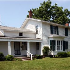
Governor John S. Barry House
30.9 km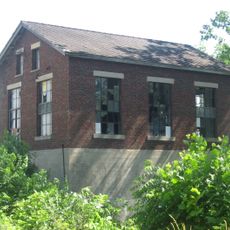
Star Milling and Electric Company Historic District
11.8 km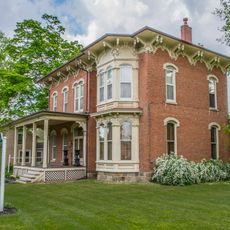
Leverett and Amanda Clapp House
32.6 km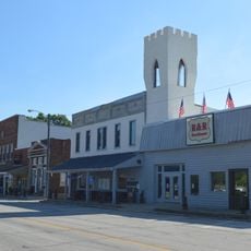
Cromwell Historic District
31.5 km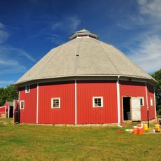
Maria and Franklin Wiltrout Polygonal Barn
27.6 km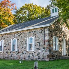
Nottawa Stone School
30.8 km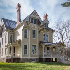
Ezra E. and Florence Beardsley House
28.5 km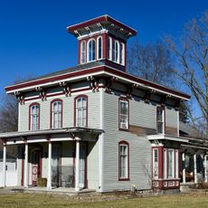
Morse–Scoville House
29.8 km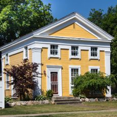
Nettleton-Cond House
30.2 km
Noble County Courthouse
27.6 kmReviews
Visited this place? Tap the stars to rate it and share your experience / photos with the community! Try now! You can cancel it anytime.
Discover hidden gems everywhere you go!
From secret cafés to breathtaking viewpoints, skip the crowded tourist spots and find places that match your style. Our app makes it easy with voice search, smart filtering, route optimization, and insider tips from travelers worldwide. Download now for the complete mobile experience.

A unique approach to discovering new places❞
— Le Figaro
All the places worth exploring❞
— France Info
A tailor-made excursion in just a few clicks❞
— 20 Minutes