
Hubbardston, human settlement in Worcester County, Massachusetts, United States of America
Location: Worcester County
Elevation above the sea: 303 m
Website: http://hubbardstonma.us
GPS coordinates: 42.47361,-72.00667
Latest update: March 5, 2025 07:59
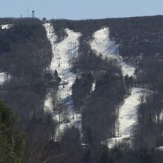
Mount Wachusett
10 km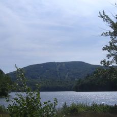
Wachusett Mountain State Reservation
10 km
High Ledges Wildlife Sanctuary
8.1 km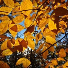
Wachusett Meadow Wildlife Sanctuary
8.6 km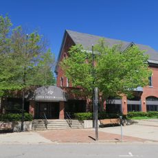
Gardner Heritage State Park
11.6 km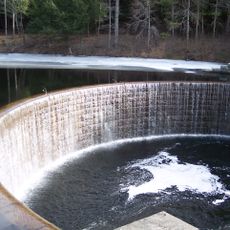
Ware River Diversion
10.3 km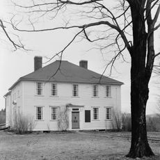
General Rufus Putnam House
11.8 km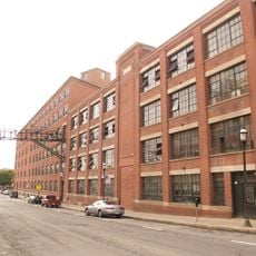
Heywood-Wakefield Company Complex
11.5 km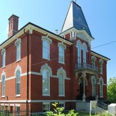
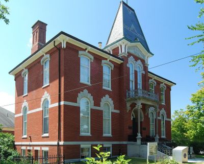
Hubbardston Public Library
180 m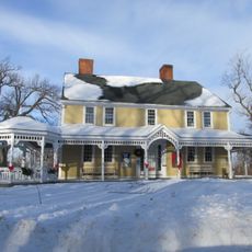
Russell Corner Historic District
11.6 km
Westminster Village-Academy Hill Historic District
11 km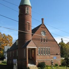
Gardner Uptown Historic District
11.7 km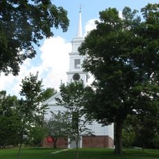
Hubbardston Town Common Historic District
161 m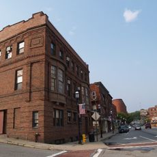
Gardner News Building
11.5 km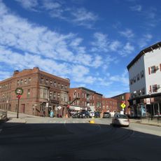
West Gardner Square Historic District
11.3 km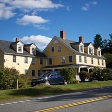
Fernside-Vacation House for Working Girls
10.1 km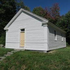
District No. 5 School
10.5 km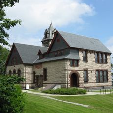
Princeton Center Historic District
10.9 km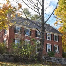
Ahijah Wood House
10.8 km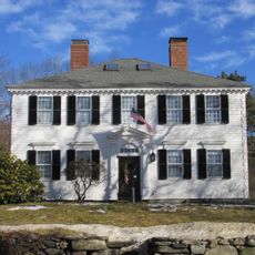
First Minister's House
11.3 km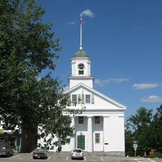
Barre Common District
9.9 km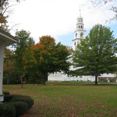
Templeton Common Historic District
10.5 km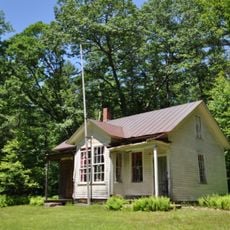
No. 4 Schoolhouse
7.1 km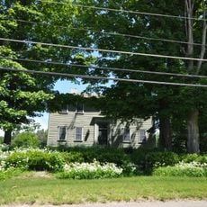
Rev. Samuel Gay House
919 m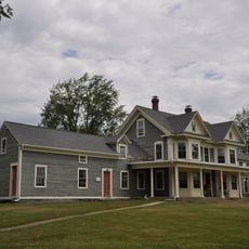
Four Corners-Goodnow Farm Historic District
6.5 km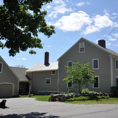
Jabez Partridge Homestead
9.9 km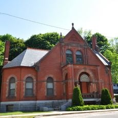
Levi Heywood Memorial Library Building
11.5 km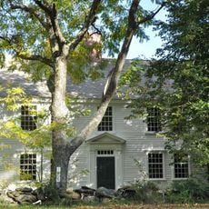
Nathan Wood House
11 kmReviews
Visited this place? Tap the stars to rate it and share your experience / photos with the community! Try now! You can cancel it anytime.
Discover hidden gems everywhere you go!
From secret cafés to breathtaking viewpoints, skip the crowded tourist spots and find places that match your style. Our app makes it easy with voice search, smart filtering, route optimization, and insider tips from travelers worldwide. Download now for the complete mobile experience.

A unique approach to discovering new places❞
— Le Figaro
All the places worth exploring❞
— France Info
A tailor-made excursion in just a few clicks❞
— 20 Minutes