
West Boylston, human settlement in Worcester County, Massachusetts, United States of America
Location: Worcester County
Inception: 1642
Elevation above the sea: 147 m
Shares border with: Sterling, Worcester
Website: http://westboylston.com
GPS coordinates: 42.36667,-71.78611
Latest update: March 6, 2025 11:26
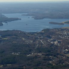
Wachusett Reservoir
3.9 km
Tower Hill Botanic Garden
4.9 km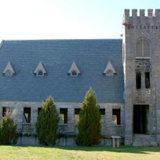
Old Stone Church
931 m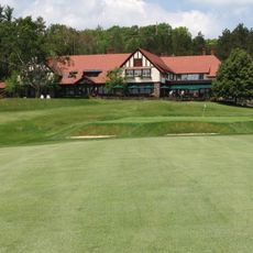
Worcester Country Club
5.1 km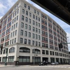
Osgood Bradley Car Company
5.1 km
John B. Gough House
4.9 km
Benjamin Flagg House
1.8 km
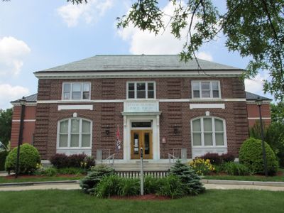
Beaman Memorial Public Library
294 m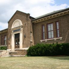
Greendale Branch Library
6.7 km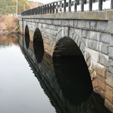
Quinapoxet River Bridge
2.3 km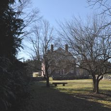
Stephen Hastings House
5.9 km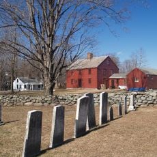
Bigelow Tavern Historic District
376 m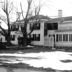
Barlin Acres
6.3 km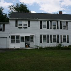
Ezra Rice House
3.6 km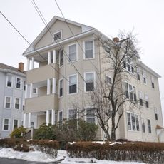
Lars Petterson-Adolph Carlson Three-Decker
6.5 km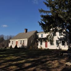
Manning-Ball House
4.6 km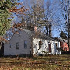
Rogers House
6.2 km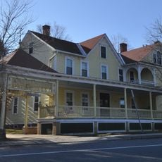
Hubbard-Dawson House
6 km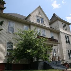
Greendale Village Improvement Society Building
6.7 km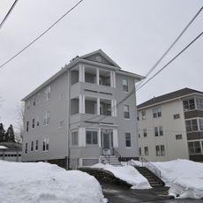
Swan Larson Three-Decker
6.9 km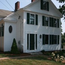
Charles Newton House
6.4 km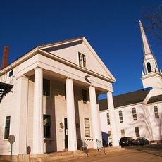
Holden Center Historic District
6.6 km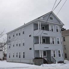
Lars Petterson-Silas Archer Three-Decker
6.5 km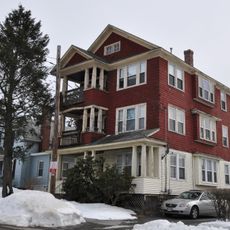
Thomas Giguere Three-Decker
6.5 km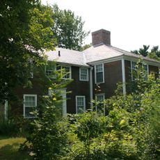
Smith-Thaxter-Merrifield House
6.6 km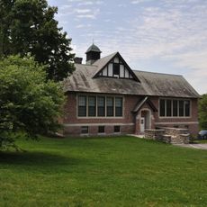
Indian Hill School
6.4 km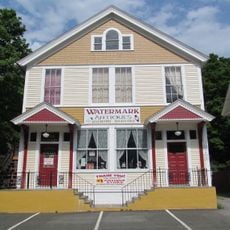
Oakdale Village Historic District
2.6 km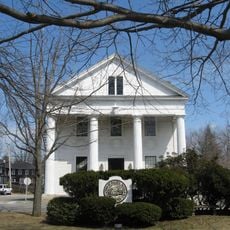
Holden Town Hall
6.5 kmReviews
Visited this place? Tap the stars to rate it and share your experience / photos with the community! Try now! You can cancel it anytime.
Discover hidden gems everywhere you go!
From secret cafés to breathtaking viewpoints, skip the crowded tourist spots and find places that match your style. Our app makes it easy with voice search, smart filtering, route optimization, and insider tips from travelers worldwide. Download now for the complete mobile experience.

A unique approach to discovering new places❞
— Le Figaro
All the places worth exploring❞
— France Info
A tailor-made excursion in just a few clicks❞
— 20 Minutes