
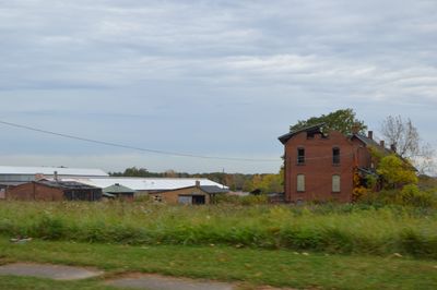
Alliance Clay Product Company
Alliance Clay Product Company, United States historic place
Location: Alliance
Address: 1500 South Mahoning Avenue
GPS coordinates: 40.90361,-81.08250
Latest update: April 18, 2025 21:37
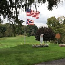
Clearview Golf Club
20.2 km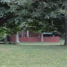
John and Syd Dobkins House
23.5 km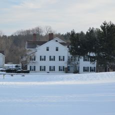
Quail Hollow State Park
21 km
Ridgewood Historic District
25.4 km
Kendal, Ohio
25.5 km
Louisville Public Library
16.1 km
Atwater Congregational Church
14.4 km
St. Louis Church
16.5 km
Daniel Howell Hise House
20.3 km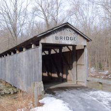
Teegarden-Centennial Covered Bridge
23.3 km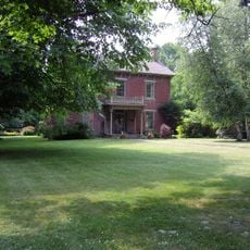
John Street House
19 km
Haines House
3.1 km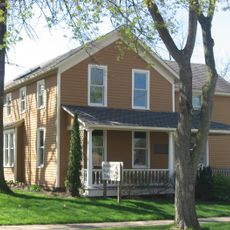
Burchfield Homestead
19.6 km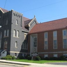
First United Methodist Church
19.1 km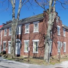
Hanoverton Canal Town District
20.9 km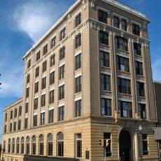
Alliance Bank Building
2.4 km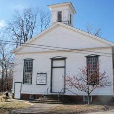
Middle Sandy Presbyterian Church
7.4 km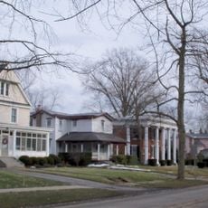
South Lincoln Avenue Historic District
19.6 km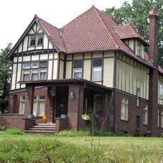
Brooke and Anna E. Martin House
26.1 km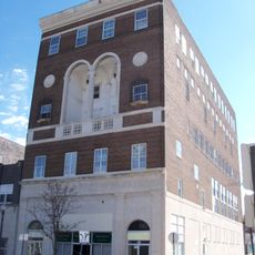
Eagles Building-Strand Theater
2.6 km
First Methodist Episcopal Church
2.3 km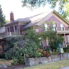
Patrick Hull House
23.2 km
Funtimes Fun Park
7 km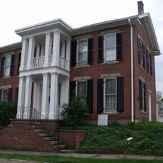
Haines House Underground Railroad Museum
3 km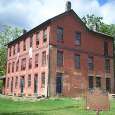
Old Stagecoach Inn
21.9 km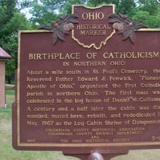
Birthplace of Catholicism in Northern Ohio
25.1 km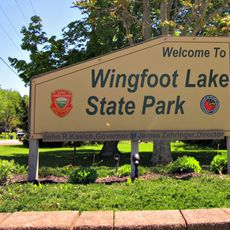
Wingfoot Lake State Park
26.5 km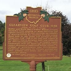
Clearview Golf Club, 1946
20.1 kmReviews
Visited this place? Tap the stars to rate it and share your experience / photos with the community! Try now! You can cancel it anytime.
Discover hidden gems everywhere you go!
From secret cafés to breathtaking viewpoints, skip the crowded tourist spots and find places that match your style. Our app makes it easy with voice search, smart filtering, route optimization, and insider tips from travelers worldwide. Download now for the complete mobile experience.

A unique approach to discovering new places❞
— Le Figaro
All the places worth exploring❞
— France Info
A tailor-made excursion in just a few clicks❞
— 20 Minutes