
Schwand im Innkreis, municipality in Braunau District, Upper Austria, Austria
Location: Braunau District
Elevation above the sea: 423 m
Shares border with: Gilgenberg am Weilhart, Überackern, Neukirchen an der Enknach, Handenberg
Email: gemeinde@schwand.ooe.gv.at
Website: http://schwand.at
GPS coordinates: 48.17833,12.96806
Latest update: March 27, 2025 02:52
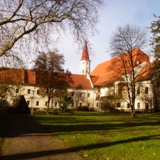
Stift Ranshofen
7 km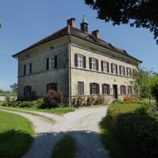
Schloss Haiming
7 km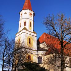
Pfarrkirche Braunau-Ranshofen
7.1 km
Ratzlburg
3.2 km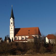
Mariä Himmelfahrt (Kirchdorf am Inn)
7.2 km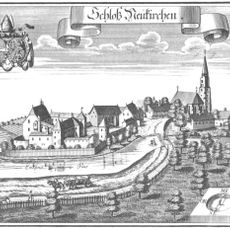
Schloss Neukirchen an der Enknach
5.9 km
Schloss Ritzing
6.8 km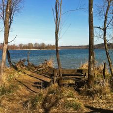
Vogelfreistätte Salzachmündung
3.7 km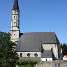
Katholische Pfarrkirche hl. Ägidius, Gilgenberg am Weilhart
5.7 km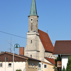
Pfarrkirche Überackern
7 km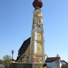
Pfarrkirche Handenberg
5.7 km
Pfarrkirche Mariä Himmelfahrt, Neukirchen an der Enknach
5.9 km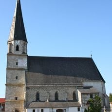
Katholische Pfarrkirche hl. Johannes der Täufer, Schwand im Innkreis
93 m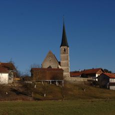
St. Jakobus der Ältere
6.3 km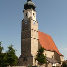
St. Stephanus (Haiming)
7.2 km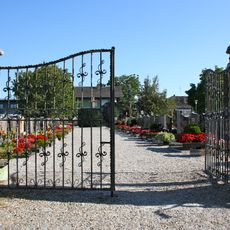
Friedhof Schwand im Innkreis
71 m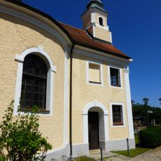
Schlosskapelle Ritzing
6.8 km
Katholische Pfarrkirche Mariä Himmelfahrt
7.2 km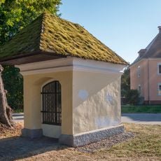
Ranshofen Kapelle
7 km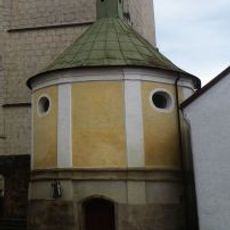
Sebastianskapelle
5.9 km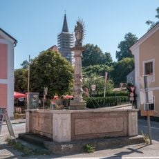
Ranshofen Brunnen
7 km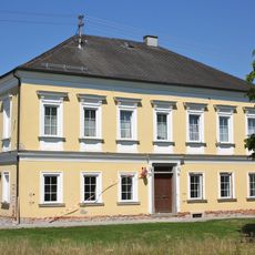
Pfarrhof
5.7 km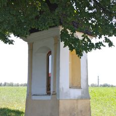
Bildstock
5.6 km
Former Krämerhaus and Magazin, Neukirchen an der Enknach
5.9 km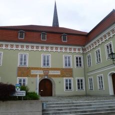
Gemeindeamt
5.9 km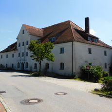
Ehem. Schlossbrauerei
6.8 km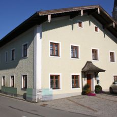
Pfarrhof Schwand im Innkreis
111 m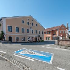
Hofrichterhaus, Ranshofen
7 kmReviews
Visited this place? Tap the stars to rate it and share your experience / photos with the community! Try now! You can cancel it anytime.
Discover hidden gems everywhere you go!
From secret cafés to breathtaking viewpoints, skip the crowded tourist spots and find places that match your style. Our app makes it easy with voice search, smart filtering, route optimization, and insider tips from travelers worldwide. Download now for the complete mobile experience.

A unique approach to discovering new places❞
— Le Figaro
All the places worth exploring❞
— France Info
A tailor-made excursion in just a few clicks❞
— 20 Minutes