
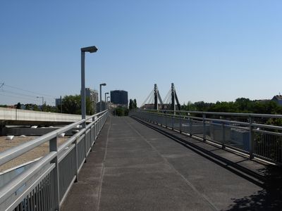
Spittelauer Steg, footbridge
Location: Vienna
Inception: 1992
GPS coordinates: 48.23560,16.36170
Latest update: March 3, 2025 14:40
Universitätszentrum Althanstraße
526 m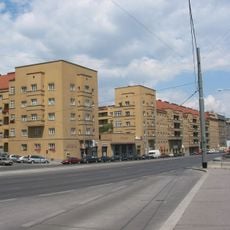
Ditteshof
495 m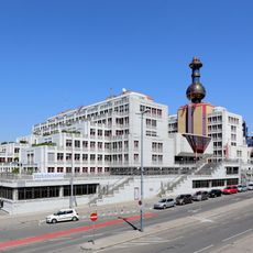
Bundesamtsgebäude Josef-Holaubek-Platz
361 m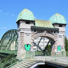
Döblinger Steg
472 m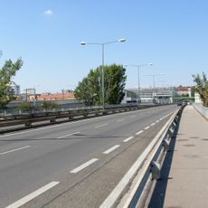
Gürtelbrücke
71 m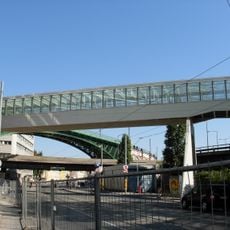
Skywalk Spittelau
441 m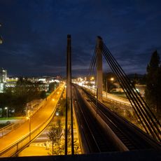
Spittelauer Brücke
0 m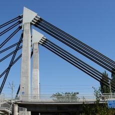
U6-Donaukanalbrücke
0 m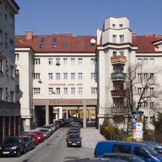
Professor-Jodl-Hof
504 m
Dr.-Ellenbogen-Hof
532 m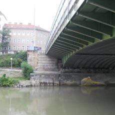
Donaukanalregulierung und -verbauung (samt Brücken, Geländer und sonstigem), KG Brigittenau
471 m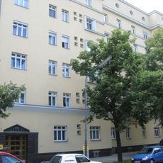
Kommunaler Wohnbau
348 m
Döblinger Steg (Abschnitt Brigittenau)
489 m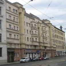
Pokorny-Hof
343 m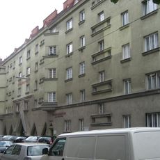
Kommunaler Wohnbau, Großmann-Hof
375 m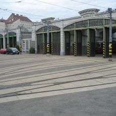
Betriebsbahnhof Brigittenau
352 m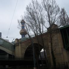
Ehem. Stadtbahn – Teilbereich der heutigen U6 in der KG Alsergrund (Heiligenstädter Ast und Teil des Verbindungsbogens)
366 m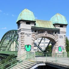
Döblinger Steg (Abschnitt Heiligenstadt)
489 m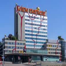
Müllverbrennungsanlage Spittelau - administration building
270 m
Erna-Musik-Hof
221 m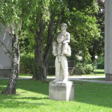
Figur, „Vater und Sohn“
514 m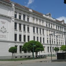
Schule
391 m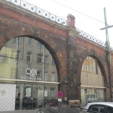
Stadtbahn – Teilbereich Oberdöbling
476 m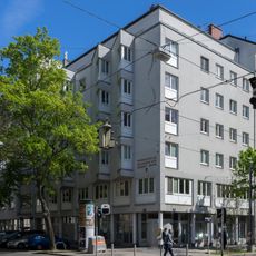
Wohnhausanlage Pappenheimgasse 10–16
454 m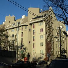
Wohnhausanlage Treustraße 58–60
500 m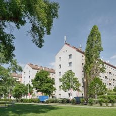
Wohnhausanlage Treustraße 61–69
238 m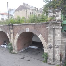
Ehem. Stadtbahn – Streckenabschnitt Nußdorfer Straße – Heiligenstadt (KG Heiligenstadt)
445 m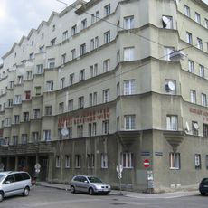
Kommunaler Wohnbau, Plocek-Hof
263 mReviews
Visited this place? Tap the stars to rate it and share your experience / photos with the community! Try now! You can cancel it anytime.
Discover hidden gems everywhere you go!
From secret cafés to breathtaking viewpoints, skip the crowded tourist spots and find places that match your style. Our app makes it easy with voice search, smart filtering, route optimization, and insider tips from travelers worldwide. Download now for the complete mobile experience.

A unique approach to discovering new places❞
— Le Figaro
All the places worth exploring❞
— France Info
A tailor-made excursion in just a few clicks❞
— 20 Minutes