
March, human settlement in Austria
Location: Virgen
Elevation above the sea: 1,350 m
GPS coordinates: 47.00330,12.41310
Latest update: April 7, 2025 05:40
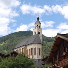
Wallfahrtskirche Maria Schnee
2.1 km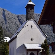
Josefskapelle (Bobojach)
1.2 km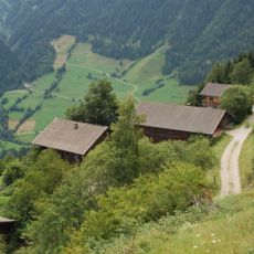
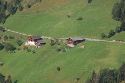
Budam
1.4 km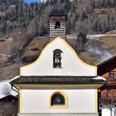
Ortskapelle hl Johannes Nepomuk
1.6 km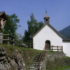
Silvesterkapelle
540 m
Berger Bach
21.6 km
Bauernhof Obermaurer-Huber
2.1 km
Bauernhof Außermantler
2 km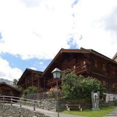
Paarhof Angstler
2.1 km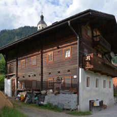
Bauernhaus Huber
2.1 km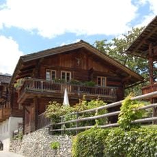
Austraghaus Angstler
2.1 km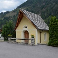
Griesserkapelle
2.1 km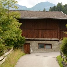
Wirtschaftsgebäude Innermantler
2 km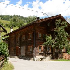
Bauernhaus Außergasperer
1.6 km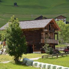
Wirtschaftsgebäude Innerrainer
954 m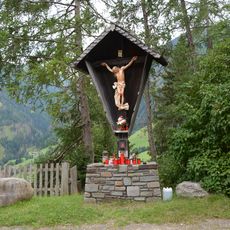
Wegkreuz Virgental Straße
657 m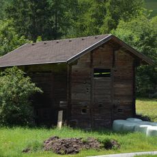
Wirtschaftsgebäude Preißn
982 m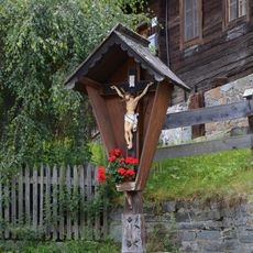
Wegkreuz Innerrainer
940 m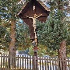
Wegkreuz bei der Josefskapelle
1.2 km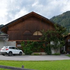
Wirtschaftsgebäude Außermantler
2 km
Bauernhaus Rain 10
937 m
Bauernhaus Innergasperer
1.5 km
Wegkreuz Gries
1.7 km
Wirtschaftsgebäude Huber
2.1 km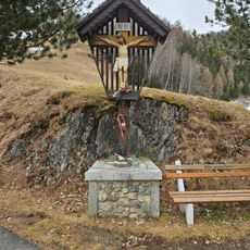
Wegkreuz Mooslechner
360 m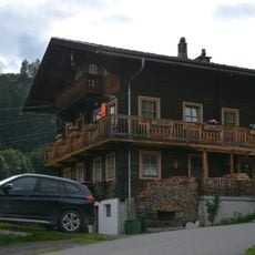
Bauernhaus Innermantler
2 km
Wegkreuz Außergasperer
1.6 km
Wallhornharpfe
1.9 kmReviews
Visited this place? Tap the stars to rate it and share your experience / photos with the community! Try now! You can cancel it anytime.
Discover hidden gems everywhere you go!
From secret cafés to breathtaking viewpoints, skip the crowded tourist spots and find places that match your style. Our app makes it easy with voice search, smart filtering, route optimization, and insider tips from travelers worldwide. Download now for the complete mobile experience.

A unique approach to discovering new places❞
— Le Figaro
All the places worth exploring❞
— France Info
A tailor-made excursion in just a few clicks❞
— 20 Minutes