
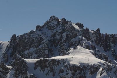
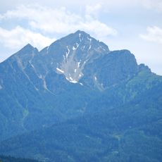
Hochtennspitze, mountain in Austria
Location: Innsbruck-Land District
Elevation above the sea: 2,549 m
Made from material: dolomite
Part of: Kalkkögel
GPS coordinates: 47.17116,11.29012
Latest update: March 8, 2025 05:52
Saile (Nockspitze)
3.5 km
Olympiabahn
2.7 km
Hoadl
1.5 km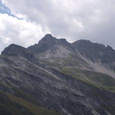
Hoher Burgstall
4.3 km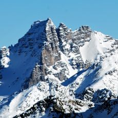
Schlicker Seespitze
3.2 km
Birgitzer Alm
3.9 km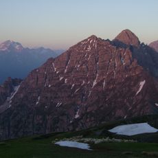
Ampferstein
1.8 km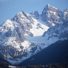
Marchreisenspitze
1.4 km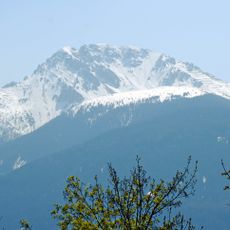
Birgitzköpfl
3.6 km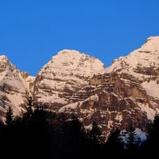
Große Ochsenwand
2.1 km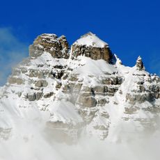
Malgrubenspitze
475 m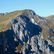
Widdersberg
1.2 km
Kleine Ochsenwand
1.5 km
Steingrubenkogel
1 km
Schneiderspitze
2.1 km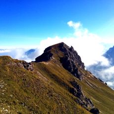
Niederer Burgstall (Kalkkögel)
4 km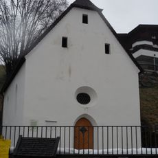
Totenkapelle, Sagererkapelle
4.7 km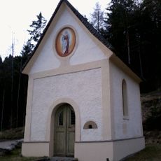
Ortskapelle, Plöven-Kapelle
4.5 km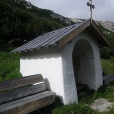
Halsl-Kapelle
2.6 km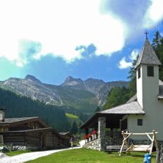
Kapelle Schlicker Alm
2 km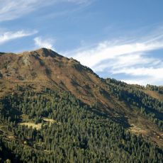
Grieskogel
3.9 km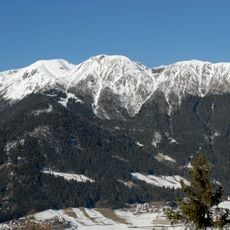
Nederjoch
3.8 km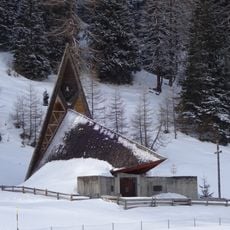
Bergkapelle
2.5 km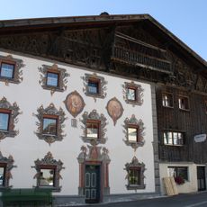
Bauernhaus
4.7 km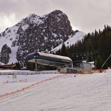
Pfriemeswand
4.4 km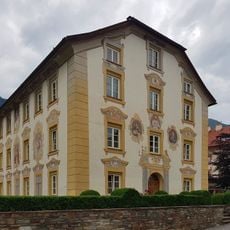
Widum Fulpmes
4.8 km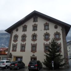
Wohn- und Geschäftshaus, ehem. Kraner
4.8 km
Altes Gemeindeamt
4.8 kmVisited this place? Tap the stars to rate it and share your experience / photos with the community! Try now! You can cancel it anytime.
Discover hidden gems everywhere you go!
From secret cafés to breathtaking viewpoints, skip the crowded tourist spots and find places that match your style. Our app makes it easy with voice search, smart filtering, route optimization, and insider tips from travelers worldwide. Download now for the complete mobile experience.

A unique approach to discovering new places❞
— Le Figaro
All the places worth exploring❞
— France Info
A tailor-made excursion in just a few clicks❞
— 20 Minutes