
Santa Olalla, municipality of Spain
Location: Toledo Province
Elevation above the sea: 492 m
Part of: Mancomunitat «Río Alberche»
Shares border with: Alcabón, Carmena, La Mata, Carriches, Erustes, Domingo Pérez, Otero, Hormigos, Maqueda, Santo Domingo-Caudilla
Website: http://santaolalla.es
GPS coordinates: 40.02361,-4.43583
Latest update: April 26, 2025 01:45
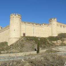
Castle of Maqueda
7.3 km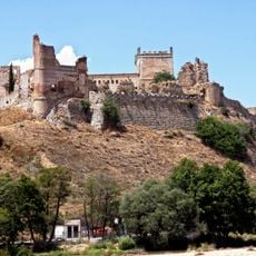
Castillo-palacio de Escalona
16.4 km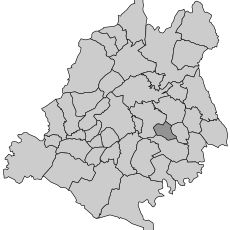
Comarca de Torrijos
5.2 km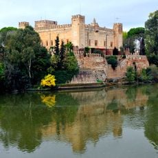
Castle of Malpica de Tajo, Toledo
17 km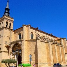
Colegiata de Torrijos
13.7 km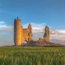
Castillo de Caudilla
11.6 km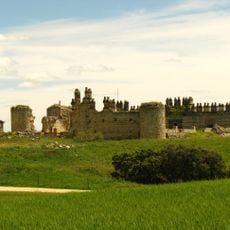
Castle of San Silvestre, Maqueda
12.2 km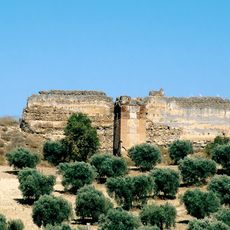
Castillo de Villalba
15.1 km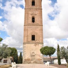
Tower of San Miguel
18.9 km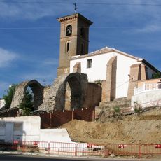
Church of Santa María de los Alcázares, Maqueda
7.2 km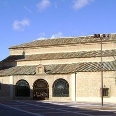
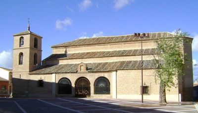
Iglesia de San Julián
575 m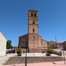
Church of Nuestra Señora de la Asunción, Erustes
9.1 km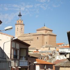
Iglesia de San Cipriano
14.4 km
Museo de la Colegiata de Torrijos
13.5 km
Saint Peter Church
689 m
Convento de las Concepcionistas Franciscanas, Escalona
16.3 km
Nécropole d'El Carpio de Tajo
15.2 km
Convento de las Reverendas Madres Concepciónistas Franciscanas
13.4 km
Church of San Miguel
16.3 km
Palacio de Don Pedro I
13.4 km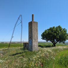
Palos
9.2 km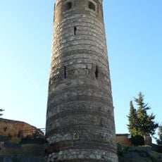
Torre de la Vela, Maqueda
7.2 km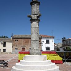
Pillory of Maqueda
7.1 km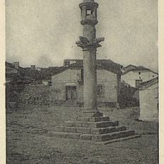
Rollo de justicia de Nombela
15.9 km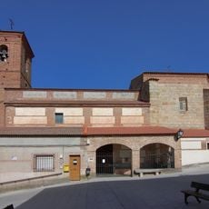
Iglesia de San Bartolomé, Hormigos
8.4 km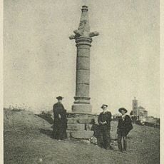
Rollo de justicia de Cebolla
14.9 km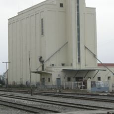
Silo of Torrijos
14.1 km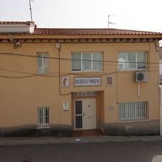
Biblioteca Pública Municipal de Nombela
15.8 kmReviews
Visited this place? Tap the stars to rate it and share your experience / photos with the community! Try now! You can cancel it anytime.
Discover hidden gems everywhere you go!
From secret cafés to breathtaking viewpoints, skip the crowded tourist spots and find places that match your style. Our app makes it easy with voice search, smart filtering, route optimization, and insider tips from travelers worldwide. Download now for the complete mobile experience.

A unique approach to discovering new places❞
— Le Figaro
All the places worth exploring❞
— France Info
A tailor-made excursion in just a few clicks❞
— 20 Minutes