
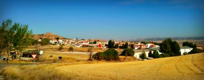
La Peraleja, municipality of Spain
Location: Cuenca Province
Elevation above the sea: 873 m
Part of: Mancomunitat de Serveis de La Alcarria de Cuenca espanyol, La Alcarria Conquense
GPS coordinates: 40.23639,-2.55333
Latest update: April 3, 2025 18:59
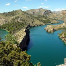
Bolarque Reservoir
26.5 km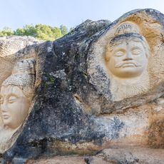
Ruta de las Caras
25.2 km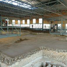
Roman villa of Noheda
25.7 km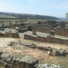
Ercavica
23.7 km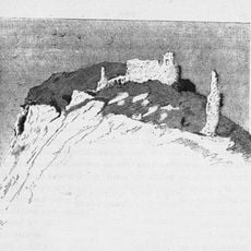
Castle of Huete
15.5 km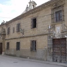
Colegio de los Jesuitas, Huete
15.3 km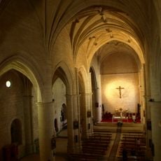
Natividad Church, Carrascosa del Campo
27.5 km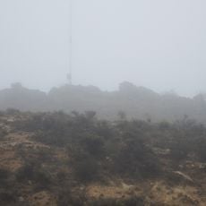
Abia de la Obispalía Castle
27.8 km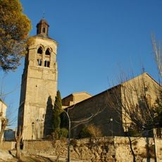
Church of Nuestra Señora de la Asunción
26.3 km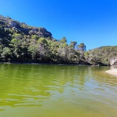
Playa de Bolarque
24.7 km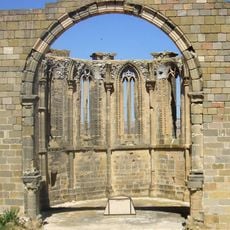
Church of Santa María de Atienza
15.4 km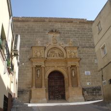
Church and Convent of Jesús and María, Huete
15.4 km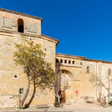
Church of Our Lady of Sagrario, Garcinarro
17.5 km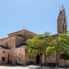
Church of the Assumption, Albalate de las Nogueras
27.6 km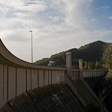
Buendía dam
26.6 km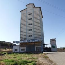
Silo of Cañaveras
19.7 km
Plaza de toros de Alcocer
26.4 km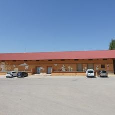
Granary of La Ventosa
10.6 km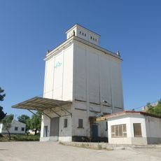
Silo of Huete
15.1 km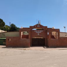
Plaza de toros de Almonacid de Zorita
26.9 km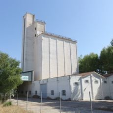
Silo of Huete II
14.9 km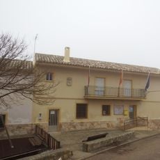
Casa consistorial de Abia de la Obispalía
27.6 km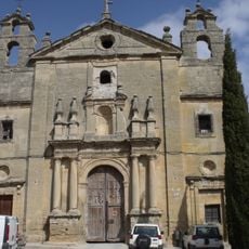
Convent of Santo Domingo, Huete
15.4 km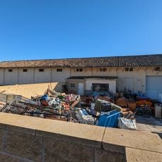
Granero de Alcocer
26.4 km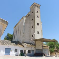
Silo de Carrascosa del Campo
27.1 km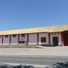
Granary of Villar de Domingo García
22.3 km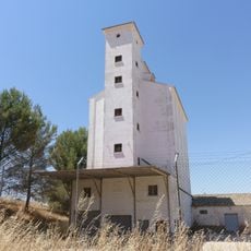
Silo de Torrejoncillo del Rey
25.7 km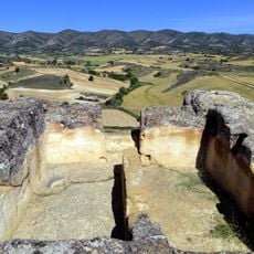
Yacimiento arqueológico de La Cava
17.8 kmReviews
Visited this place? Tap the stars to rate it and share your experience / photos with the community! Try now! You can cancel it anytime.
Discover hidden gems everywhere you go!
From secret cafés to breathtaking viewpoints, skip the crowded tourist spots and find places that match your style. Our app makes it easy with voice search, smart filtering, route optimization, and insider tips from travelers worldwide. Download now for the complete mobile experience.

A unique approach to discovering new places❞
— Le Figaro
All the places worth exploring❞
— France Info
A tailor-made excursion in just a few clicks❞
— 20 Minutes