
Rodonyà, municipality of Spain
Location: Alt Camp
Elevation above the sea: 312 m
Shares border with: El Montmell, La Bisbal del Penedès, Masllorenç, Montferri, Vila-rodona
Website: http://rodonya.altanet.org
GPS coordinates: 41.27988,1.39909
Latest update: May 7, 2025 08:14
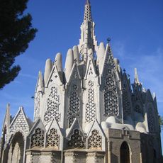
Mare de Déu de Montserrat de Montferri
2.8 km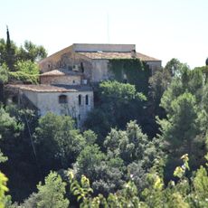
Castell de Rocamora
3.3 km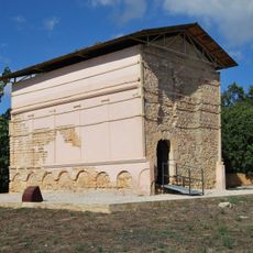
Columbari de Vila-rodona
4.6 km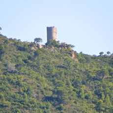
Torre de Montferri
4.1 km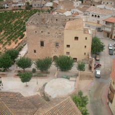
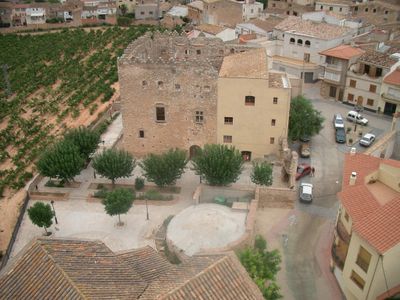
Castell de Rodonyà
27 m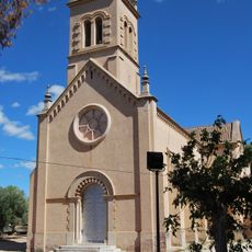
Mare de Déu de Loreto
4.6 km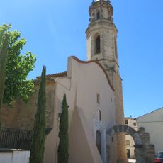
Sant Bartomeu de Montferri
3.2 km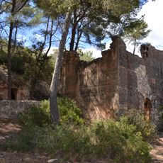
Torre forta de Santa Cristina
3.6 km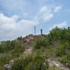
Tosagrosa
3.8 km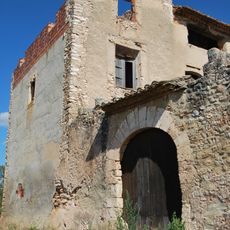
Castell de Vilardida
3.1 km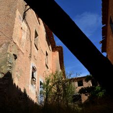
La Casa Gran de Can Ferrer de la Cogullada
5.3 km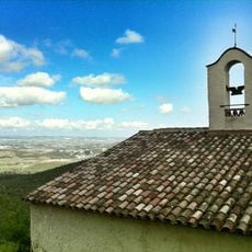
Santa Cristina
3.6 km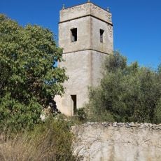
Torre del Garriga
3.9 km
Montferri, La Rectoria
3.2 km
Church Sant Joan Baptista de Rodonyà
72 m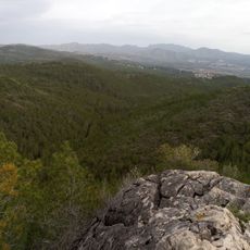
Clot de Bou
6.1 km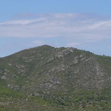
Puig de Migdia
5.5 km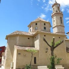
Sant Ramon de Masllorenç
1.8 km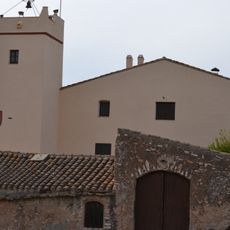
Mas d'en Guerra
2.4 km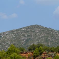
Puig Francàs
5.5 km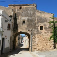
Portal del Clos Emmurallat
3.2 km
Torre del Mas d'en Gosch
5.7 km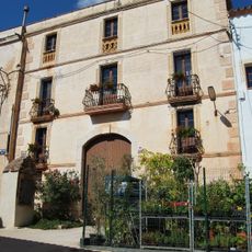
Habitatge a Vilardida
3.1 km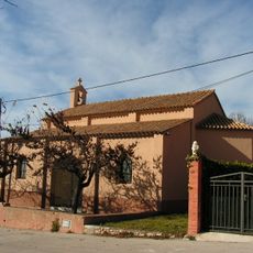
Sant Miquel de Canferrer
5.3 km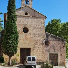
Santa Maria de Vilardida
3.1 km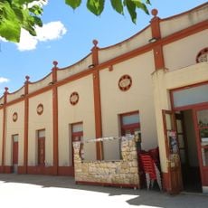
Sindicat Agrícola
1.8 km
Roca Blanca
5.9 km
Roca de l'Àliga
5 kmReviews
Visited this place? Tap the stars to rate it and share your experience / photos with the community! Try now! You can cancel it anytime.
Discover hidden gems everywhere you go!
From secret cafés to breathtaking viewpoints, skip the crowded tourist spots and find places that match your style. Our app makes it easy with voice search, smart filtering, route optimization, and insider tips from travelers worldwide. Download now for the complete mobile experience.

A unique approach to discovering new places❞
— Le Figaro
All the places worth exploring❞
— France Info
A tailor-made excursion in just a few clicks❞
— 20 Minutes