
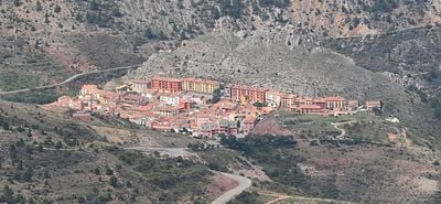
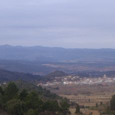
Camarena de la Sierra, municipality of Spain
Location: Teruel Province
Capital city: Camarena de la Sierra
Elevation above the sea: 1,294 m
Shares border with: Puebla de San Miguel, Riodeva, Cascante del Río, Valacloche, Cubla, La Puebla de Valverde, Arcos de las Salinas
Website: http://camarenadelasierra.es
GPS coordinates: 40.14806,-1.04083
Latest update: March 5, 2025 04:34
Sierra de Javalambre
5.8 km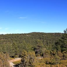
Cerro Calderón
8.9 km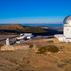
Astrophysical Observatory of Javalambre
12.1 km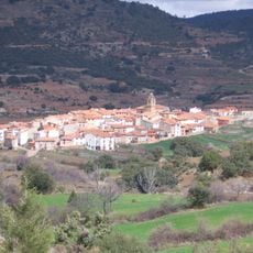
Puebla de San Miguel Natural Park
13.3 km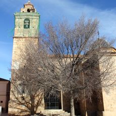
Iglesia de San Miguel de Puebla de San Miguel
14.5 km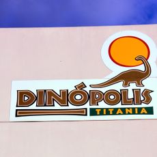
Titania
9.5 km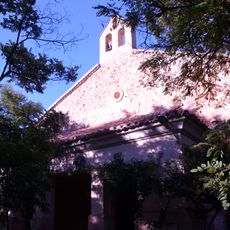
Ermita de la Purísima Concepción
9.6 km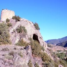
Castillo de Valacloche
6.7 km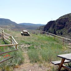
Castillo de Libros
16.5 km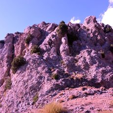
Castle of Camarena de la Sierra
253 m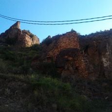
Castillo de Tramacastiel
17.5 km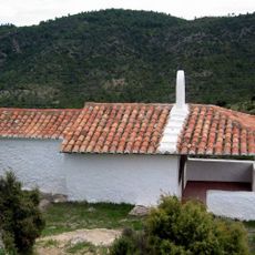
Ermita de Santa Quiteria
17.9 km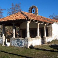
Ermita de la Puríssima de la Pobla de Sant Miquel
14.5 km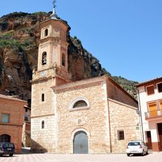
Iglesia de San Juan Bautista
16.6 km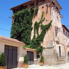
Torre de Torre Alta
18.7 km
Ermita de San Roque
13.9 km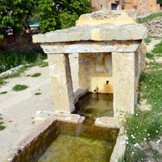
Fuente de Sesga
19 km
Church of Saint Barbara
14.4 km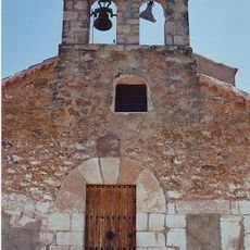
Iglesia de la Inmaculada Concepción
18.9 km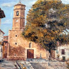
Iglesia de la Virgen de los Dolores
9.8 km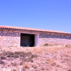
Ermita de Santa Bárbara
9.7 km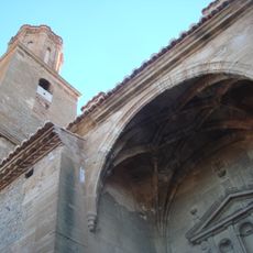
Church of the Assumption, Cubla
7.7 km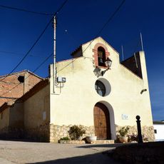
Ermita de San Sebastián
18 km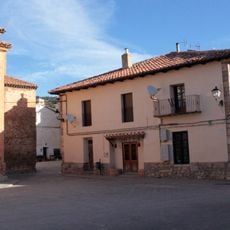
Town hall of Puebla de San Miguel
14.4 km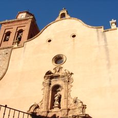
Iglesia de la Inmaculada
17.4 km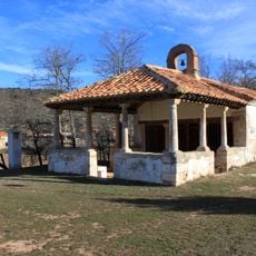
Church of the Immaculate and Calvary
14.5 km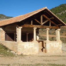
Ermita de Sant Roc de la Pobla de Sant Miquel
13.9 km
Calderón
8.9 kmReviews
Visited this place? Tap the stars to rate it and share your experience / photos with the community! Try now! You can cancel it anytime.
Discover hidden gems everywhere you go!
From secret cafés to breathtaking viewpoints, skip the crowded tourist spots and find places that match your style. Our app makes it easy with voice search, smart filtering, route optimization, and insider tips from travelers worldwide. Download now for the complete mobile experience.

A unique approach to discovering new places❞
— Le Figaro
All the places worth exploring❞
— France Info
A tailor-made excursion in just a few clicks❞
— 20 Minutes