
Sant Sadurní d'Anoia, municipality in Catalonia, Spain
Location: Alt Penedès
Capital city: Sant Sadurní d'Anoia
Elevation above the sea: 162 m
Website: http://www.santsadurni.cat
Part of: Mancomunitat Penedès i Garraf
Shares border with: Piera, Sant Llorenç d'Hortons, Gelida, Subirats, Torrelavit
Website: http://santsadurni.cat
GPS coordinates: 41.42611,1.78500
Latest update: May 27, 2025 11:44
Caves Codorniu
1.5 km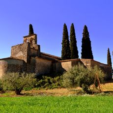
Santa Creu de Creixà
4 km
Castellblanch
507 m
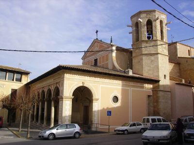
Església de Sant Sadurní d'Anoia
428 m
Sant Benet d'Espiells
2.7 km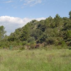
Jaciment dels Casots
2.2 km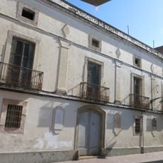
Can Guineu
295 m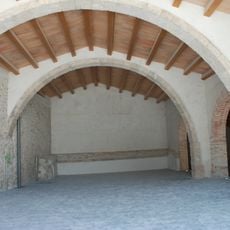
Fassina de Can Guineu
279 m
Cal Calixtus
492 m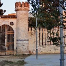
Can Ferrer del Mas
969 m
Ateneu Agrícola
342 m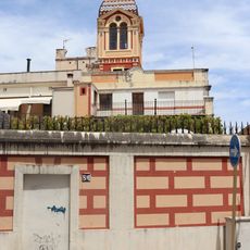
Cal Mota
239 m
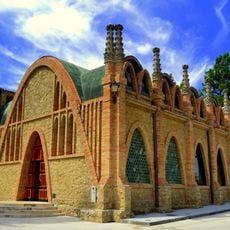
Caves Freixenet
975 m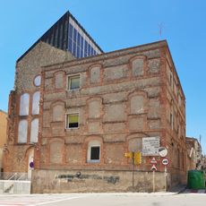
Edifici Índex
524 m
Casa Massana
298 m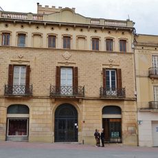
Casa Josep Mestres
238 m
Casa Lluís Mestres
241 m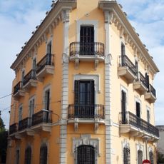
Casa Formosa Ragué
367 m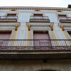
Casa Madurell
327 m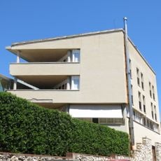
Casa dels Avis
554 m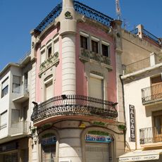
Casa Maria Sàbat
228 m
Caves Miró
573 m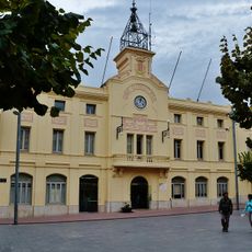
Plaça de l'Ajuntament
246 m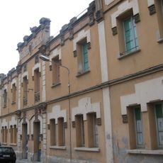
Antigues escoles públiques
121 m
Torre de la Font del Mingo
275 m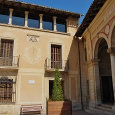
Rectoria de Sant Sadurní d'Anoia
404 m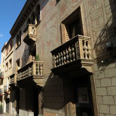
Casa Formosa
237 m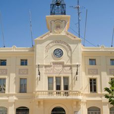
Casa de la Vila
280 mReviews
Visited this place? Tap the stars to rate it and share your experience / photos with the community! Try now! You can cancel it anytime.
Discover hidden gems everywhere you go!
From secret cafés to breathtaking viewpoints, skip the crowded tourist spots and find places that match your style. Our app makes it easy with voice search, smart filtering, route optimization, and insider tips from travelers worldwide. Download now for the complete mobile experience.

A unique approach to discovering new places❞
— Le Figaro
All the places worth exploring❞
— France Info
A tailor-made excursion in just a few clicks❞
— 20 Minutes