
Liceras, municipality of Spain
Location: Soria Province
Elevation above the sea: 1,128 m
Part of: Mancomunitat «Mio Cid»
Shares border with: San Esteban de Gormaz, Montejo de Tiermes
Website: http://liceras.es
GPS coordinates: 41.37917,-3.24306
Latest update: April 11, 2025 02:01


Tiermes
9.5 km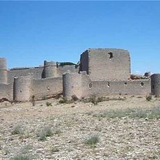
Castle of Caracena
12.4 km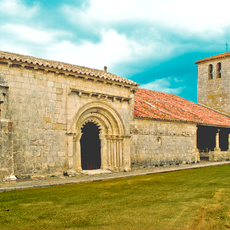
Church of San Bartolomé
14.9 km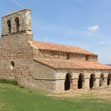
Ermita de Santa María de Tiermes
9.6 km
La Peña de Estebanvela
7.1 km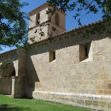
Church of San Pedro Apóstol
11.1 km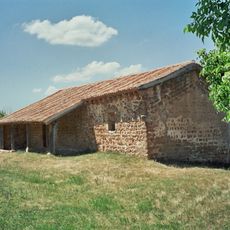
Hermitage of la Virgen del Val
8 km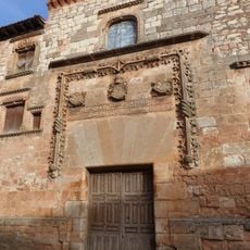
Contreras Palace, Ayllón
12 km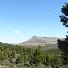
Pico de Grado
6.6 km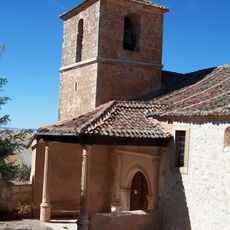
Iglesia de San Andrés (Valvieja)
12 km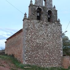
Iglesia de San Juan, Ligos
7.1 km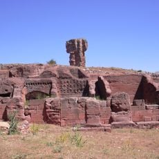
Museo Monográfico de Tiermes
9.2 km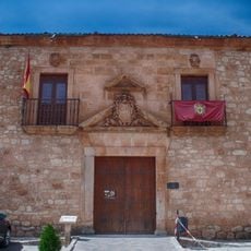
Vellosillo's Palace, Ayllón
12.1 km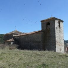
Iglesia de San Pedro, Grado del Pico
8.3 km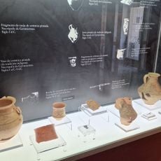
Museo monográfico de Tiermes. Filial del Museo Numantino.
9.2 km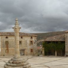
Rollo de Caracena
12.7 km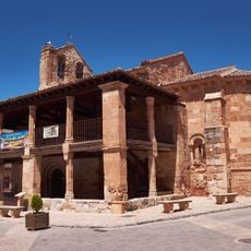
Church of San Miguel, Ayllón
12 km
Hermitage of the virgin of the valley. Piquera de San Esteban
14.2 km
Villa de Caracena
12.7 km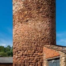
Watchtower of Liceras
119 m
Church of San Juan Bautista, Mazagatos
14.9 km
Ermita de San Fabián y San Sebastián, Becerril
14.1 km
Watchtower of Caracena
13.5 km
Convent of the Franciscan friars, Ayllón
12.7 km
Conjunto Histórico de la Villa de Ayllón
12 km
Church of San Miguel Arćangel, Languilla
17 km
Church of Nuestra Señora de la Asunción, Becerril
14.2 km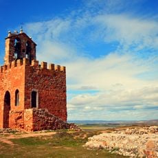
La Martina Watchtower
11.8 kmReviews
Visited this place? Tap the stars to rate it and share your experience / photos with the community! Try now! You can cancel it anytime.
Discover hidden gems everywhere you go!
From secret cafés to breathtaking viewpoints, skip the crowded tourist spots and find places that match your style. Our app makes it easy with voice search, smart filtering, route optimization, and insider tips from travelers worldwide. Download now for the complete mobile experience.

A unique approach to discovering new places❞
— Le Figaro
All the places worth exploring❞
— France Info
A tailor-made excursion in just a few clicks❞
— 20 Minutes