
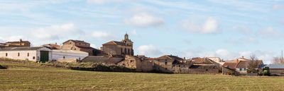
Tejado, municipality of Spain
Location: Soria Province
Elevation above the sea: 989 m
Part of: Mancomunitat «Campo de Gómara»
Shares border with: Borjabad, Cubo de la Solana, Aldealafuente, Gómara, Serón de Nágima, Bliecos, Nolay
GPS coordinates: 41.58889,-2.26694
Latest update: March 2, 2025 19:53
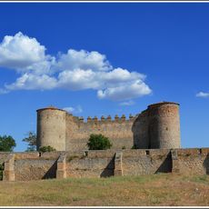
Castle of Almenar
11.6 km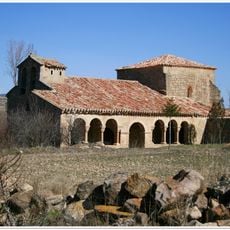
Church of the Inmaculada Concepción, Omeñaca
19.7 km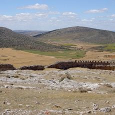
Castle of Peñalcazar
19.1 km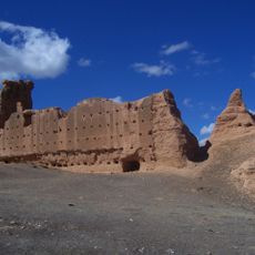
Castle of Serón de Nágima
11.8 km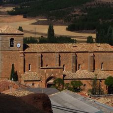
Church of Nuestra Señora del Mercado
11.7 km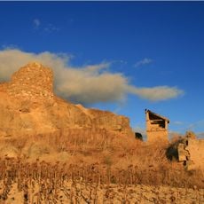
Castillo de Gómara
5.2 km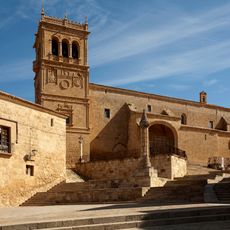
Church of Nuestra Señora de la Asunción
22.8 km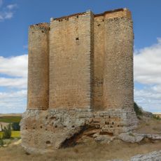
Castillo de Soliedra
16.3 km
Iglesia de Santo Tomás Apóstol, Jaray
15.9 km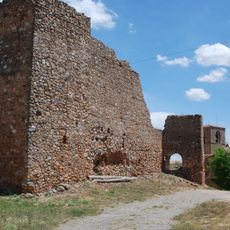
Castle of Peroniel
14.3 km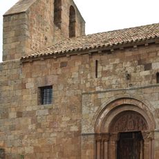
San Juan Bautista
18 km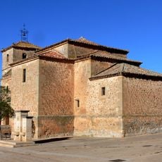
Iglesia de San Martín, Cubo de la Solana
13.1 km
Ermita de la Virgen de la Mencalilla, Almazul
12.9 km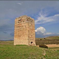
Tower La Pica, Tajahuerce
20.3 km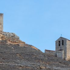
Torre de Moñúx
16.5 km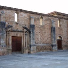
Convento de la Merced
24.7 km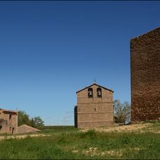
Villanueva de Zamajón Tower
3.5 km
Iglesia parroquial de la Asunción
22.9 km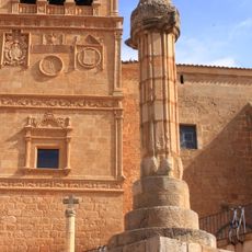
Pillory of Morón de Almazán
22.9 km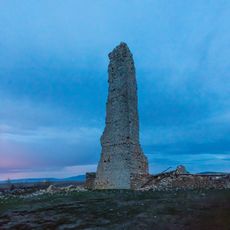
Tower of Tordesalas
17.6 km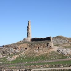
Jaray Tower
16.1 km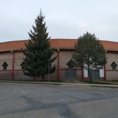
Plaza de toros de Almazán
24.3 km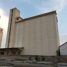
Silo de Almazán II
24.3 km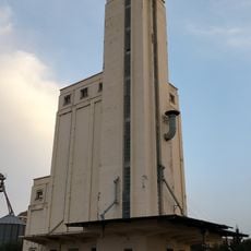
Silo de Almazán
24.3 km
Tower of Castil de Tierra
2.3 km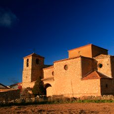
Church of Santa Eulalia, Castejón del Campo
15.3 km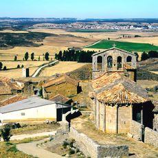
Saint Peter the Apostle Church, Perdices
19.6 km
Capilla del Cristo
24.8 kmReviews
Visited this place? Tap the stars to rate it and share your experience / photos with the community! Try now! You can cancel it anytime.
Discover hidden gems everywhere you go!
From secret cafés to breathtaking viewpoints, skip the crowded tourist spots and find places that match your style. Our app makes it easy with voice search, smart filtering, route optimization, and insider tips from travelers worldwide. Download now for the complete mobile experience.

A unique approach to discovering new places❞
— Le Figaro
All the places worth exploring❞
— France Info
A tailor-made excursion in just a few clicks❞
— 20 Minutes