
Itero de la Vega, municipality of Spain
Location: Palencia Province
Capital city: Itero de la Vega
Elevation above the sea: 772 m
Part of: Mancomunitat del Canal del Pisuerga
Shares border with: Melgar de Yuso, Boadilla del Camino, Requena de Campos, Lantadilla, Palacios de Riopisuerga, Itero del Castillo
Website: http://iterodelavega.com
GPS coordinates: 42.28639,-4.25861
Latest update: March 3, 2025 03:31
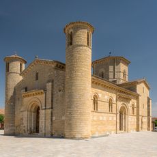
Church of Saint Martin of Tours
12.4 km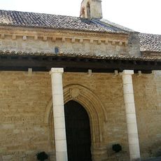
Real Monasterio de Santa Clara
11 km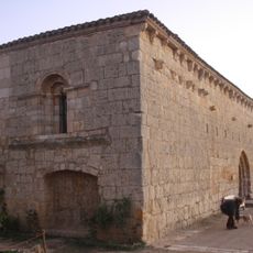
Hospital de Puente Fitero
1.5 km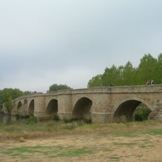
Puente de Itero
1.4 km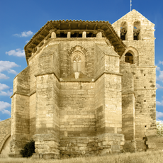
Hermitage of Torremarte, Astudillo
10.8 km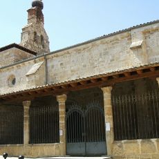
San Pedro church
10.8 km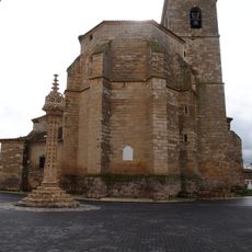
Church of Santa María, Boadilla del Camino
7.9 km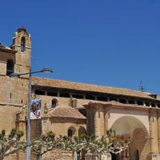
Church of Saint Peter
12.2 km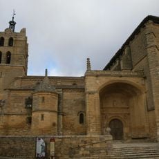
Church of San Juan Bautista, Santoyo
10.6 km
Rollo de Santoyo
10.5 km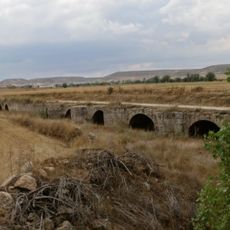
Puente de Bárcena
7.9 km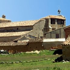
Iglesia de San Esteban Protomártir
7.5 km
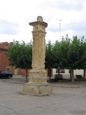
Itero de la Vega Pillory
186 m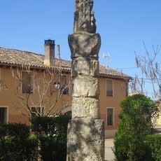
Rollo de Justicia
10.6 km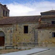
Church of Saint Peter
22 m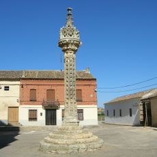
Stone pillar of Justice of Boadilla del Camino
7.9 km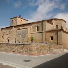
Church of the Assumption
3.6 km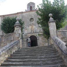
Iglesia de San Cristóbal
1.4 km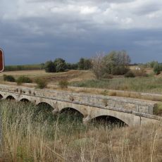
Puente de Tabanera
8.5 km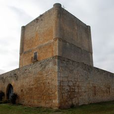
Castle of Las Cabañas de Castilla
11.6 km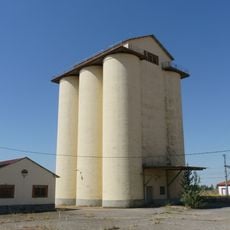
Silo de Frómista
12 km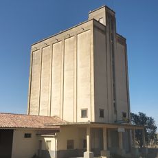
Silo de Astudillo
10.4 km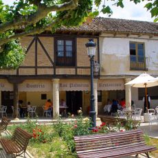
Pilgrims' Hospital
12.2 km
Town Hall of Frómista
12.3 km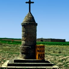
Cruz de piedra
7.4 km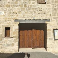
Biblioteca Pública Municipal de Astudillo - Cesar Muñoz Arconada
10.8 km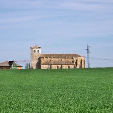
Chapel of Our Lady of El Otero
11.5 km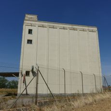
Silo de Frómista II
12 kmReviews
Visited this place? Tap the stars to rate it and share your experience / photos with the community! Try now! You can cancel it anytime.
Discover hidden gems everywhere you go!
From secret cafés to breathtaking viewpoints, skip the crowded tourist spots and find places that match your style. Our app makes it easy with voice search, smart filtering, route optimization, and insider tips from travelers worldwide. Download now for the complete mobile experience.

A unique approach to discovering new places❞
— Le Figaro
All the places worth exploring❞
— France Info
A tailor-made excursion in just a few clicks❞
— 20 Minutes