
Sant Guim de la Plana, municipality of Spain
Location: Segarra
Elevation above the sea: 556 m
Shares border with: Massoteres, Torà, Ivorra, Sant Ramon, Torrefeta i Florejacs, Guissona
Website: http://santguimplana.ddl.net
GPS coordinates: 41.76264,1.32372
Latest update: April 2, 2025 02:25
Castell de Vicfred
3.2 km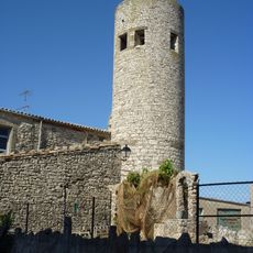
Castell de Gospí
3.4 km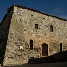
Castell de Sant Guim de la Plana
29 m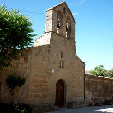
Sant Jaume de Palouet
4.7 km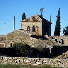
Sant Pere dels Pastors
2.6 km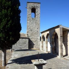
Sant Martí de Gospí
3.5 km
Cal Xuriguera de Palouet
4.7 km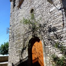
Sant Esteve de Comabella
2.3 km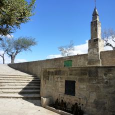
Font de l'Estany
2.8 km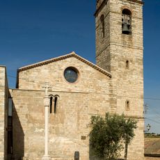
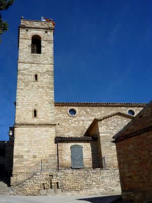
Santa Maria de Sant Guim de la Plana
67 m
Santa Maria de Viver
3.9 km
Sant Esteve de Vicfred
3.1 km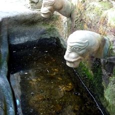
Font de Gospí
3.6 km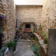
Antic Forn de Pa
4.7 km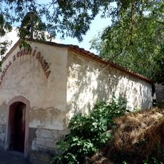
Sant Cosme i Sant Damià de Gospí
3.6 km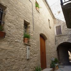
Cal Farré
57 m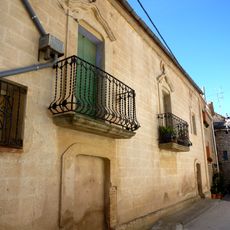
Cal Cunyé
3.9 km
Cal Comorera
4.7 km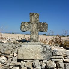
La Creueta
3.6 km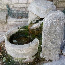
Abeurador de Sant Guim de la Plana
25 m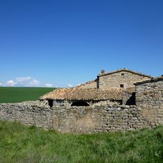
Hostalets
4.7 km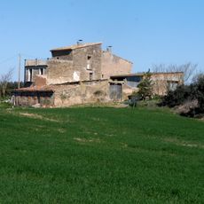
La Torreta
4.7 km
Cabana del Vasall
4.8 km
Cabana del Biel
4.8 km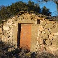
Cabana del Teixidor
4.8 km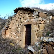
Cabana del Llúcio
4.7 km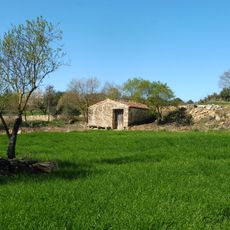
Cabana del Florèncio
5 km
Cabana del Balaguer
5 kmVisited this place? Tap the stars to rate it and share your experience / photos with the community! Try now! You can cancel it anytime.
Discover hidden gems everywhere you go!
From secret cafés to breathtaking viewpoints, skip the crowded tourist spots and find places that match your style. Our app makes it easy with voice search, smart filtering, route optimization, and insider tips from travelers worldwide. Download now for the complete mobile experience.

A unique approach to discovering new places❞
— Le Figaro
All the places worth exploring❞
— France Info
A tailor-made excursion in just a few clicks❞
— 20 Minutes