
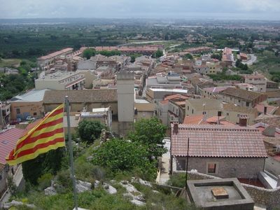
Castellvell del Camp, municipality of Spain
Location: Baix Camp
Elevation above the sea: 219 m
Shares border with: Almoster, Reus, L'Aleixar
Website: http://castellvelldelcamp.cat
GPS coordinates: 41.18005,1.09870
Latest update: March 5, 2025 20:44
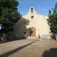
Santa Anna
412 m
La Boca de la Mina
1.7 km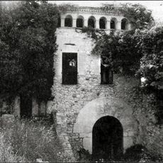
Molí de la Vila
1.7 km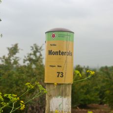
Monterols
1.1 km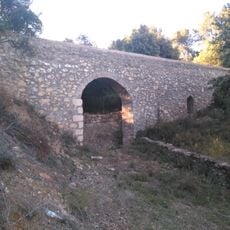
Aqüeducte del Pont del Cinto
776 m
Sant Miquel d'Almoster
2.4 km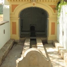
Mina del Molí
1.7 km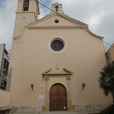
Sant Vicenç de Castellvell del Camp
227 m
Cinc Camins
1.8 km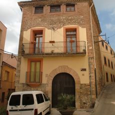
Cal Tramuntana
252 m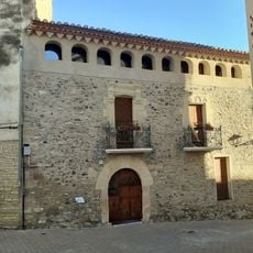
Cal Jardí
2.3 km
Cal Segarres
2.3 km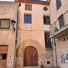
Cal Micalo
2.3 km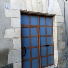
Ca la Mundeta
2.3 km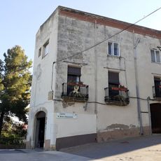
House in carrer Major, 26
2.4 km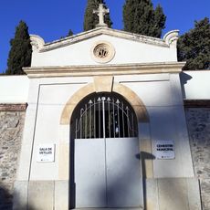
Cementiri d'Almoster
2.4 km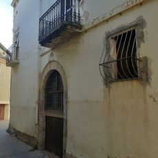
House in carrer Major, 1-3
2.3 km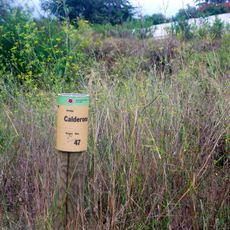
Partida de Calderons
912 m
Cal Perelló
2.3 km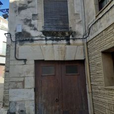
Cal Pino
2.3 km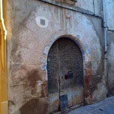
Cal Barberà
2.3 km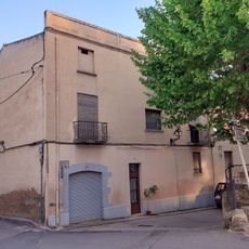
House in carrer de la Font, 7
2.3 km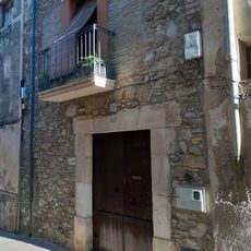
Can Pere Trilla
2.3 km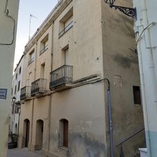
Cal Vidal
2.3 km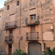
House in carrer de la Font, 10
2.3 km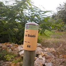
Partida de la Buada
1.2 km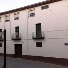
House in carrer Raval, 2
2.4 km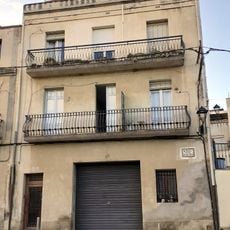
House in plaça Josep Roselló, 7
2.2 kmVisited this place? Tap the stars to rate it and share your experience / photos with the community! Try now! You can cancel it anytime.
Discover hidden gems everywhere you go!
From secret cafés to breathtaking viewpoints, skip the crowded tourist spots and find places that match your style. Our app makes it easy with voice search, smart filtering, route optimization, and insider tips from travelers worldwide. Download now for the complete mobile experience.

A unique approach to discovering new places❞
— Le Figaro
All the places worth exploring❞
— France Info
A tailor-made excursion in just a few clicks❞
— 20 Minutes