
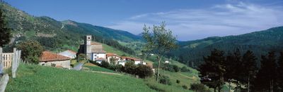
Ereño, municipality of Spain
Location: Busturialdea
Inception: 1359
Capital city: Ereño
Elevation above the sea: 278 m
Shares border with: Ibarrangelu, Gautegiz Arteaga, Kortezubi, Nabarniz, Ispaster, Ea
Website: http://ereno.org
GPS coordinates: 43.35114,-2.61589
Latest update: March 3, 2025 00:54
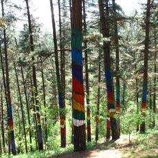
Oma forest
2.1 km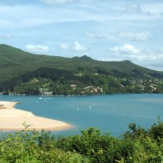
Urdaibai
5.2 km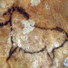
Cueva de Santimamiñe
1.8 km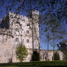
Castle of the Empress Eugenia de Montijo
3.1 km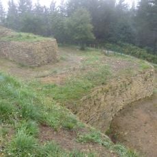
Oppidum of Arrola
4.4 km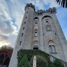
Castillo de Arteaga
3.1 km
Ogella
6.2 km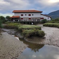
Molino Koba-Errota
3.9 km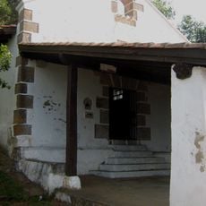
Ermita Talako Ama
4.8 km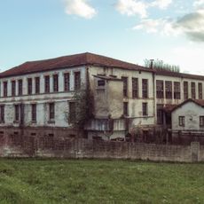
Tenería Vascongada
5.5 km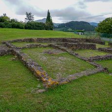
Poblado romano de Forua
5.2 km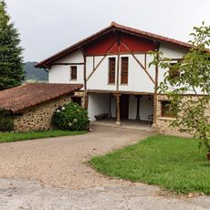
Caserio Enderika Haundi
4.1 km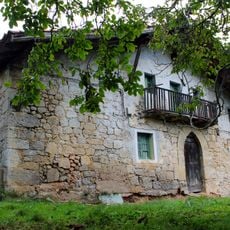
Erkiagabekoa baserria
5.2 km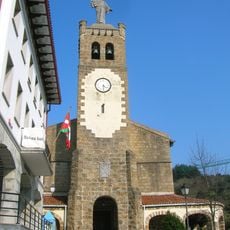
Saint Andrew church (Ibarrangelu)
4.5 km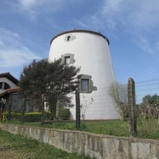
Aixeder
5.1 km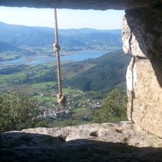
San Migel baseliza
1.7 km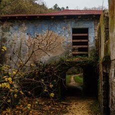
Urtubiaga
3.7 km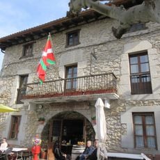
Ispaster City Hall
5.5 km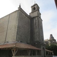
San Migel eliza
5.9 km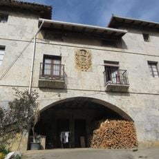
Arana jauregia
5.8 km
Jesusen Andra Maria eliza (Ea)
4.1 km
San Martin hermitage
5 km
Santa Cruz hermitage
3 km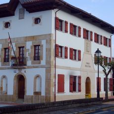
Town hall of Forua
5.1 km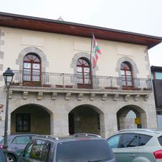
Town hall of Gautegiz Arteaga
2.8 km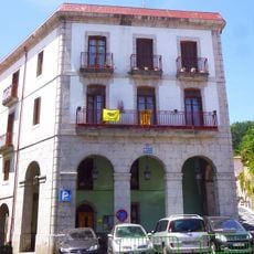
Casa consistorial de Ea
4 km
Town hall of Ibarrangelu
4.6 km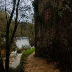
Urtubiaga
3.7 kmReviews
Visited this place? Tap the stars to rate it and share your experience / photos with the community! Try now! You can cancel it anytime.
Discover hidden gems everywhere you go!
From secret cafés to breathtaking viewpoints, skip the crowded tourist spots and find places that match your style. Our app makes it easy with voice search, smart filtering, route optimization, and insider tips from travelers worldwide. Download now for the complete mobile experience.

A unique approach to discovering new places❞
— Le Figaro
All the places worth exploring❞
— France Info
A tailor-made excursion in just a few clicks❞
— 20 Minutes