
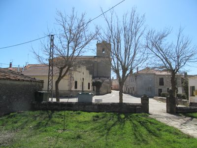
Torremocha del Campo, municipality in Guadalajara Province, Castile-La Mancha, Spain
Location: Guadalajara Province
Capital city: Torremocha del Campo
Elevation above the sea: 1,086 m
Part of: Mancomunitat «Tajo-Dulce»
Shares border with: Alcolea del Pinar, Abánades, Algora, Saúca, Torrecuadradilla, Canredondo, Cifuentes, El Sotillo, Sigüenza
GPS coordinates: 40.97917,-2.61750
Latest update: March 23, 2025 01:15
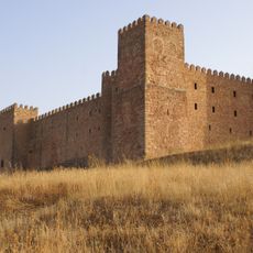
Castle of Sigüenza
10.5 km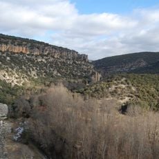
Barranco del Río Dulce Natural Park
6.3 km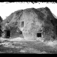
Casa de Piedra (Alcolea del Pinar)
14.2 km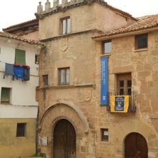
Casa del Doncel
9.9 km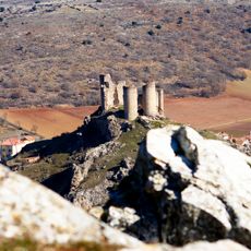
Castle of Pelegrina
4.3 km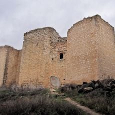
Castillo de Don Juan Manuel, Cifuentes
21.8 km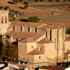
Church of San Salvador
21.5 km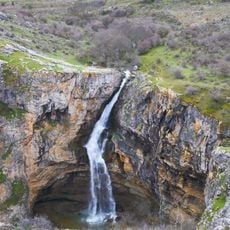
Cascada del Gollorio
3.2 km
Iglesia de Santiago, Sigüenza
9.9 km
Church of Santa María
9.8 km
Parish church, Saúca
9.4 km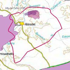
Cueva de la Canaleja
16.6 km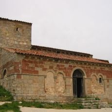
Church of San Juan Bautista
8.9 km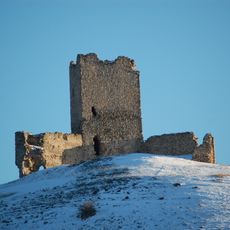
Castillo de La Torresaviñán
2.1 km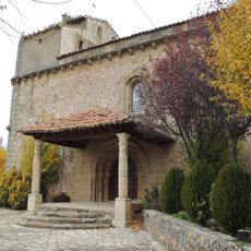
Iglesia de Nuestra Señora de la Asunción
14.5 km
Saregune
14.9 km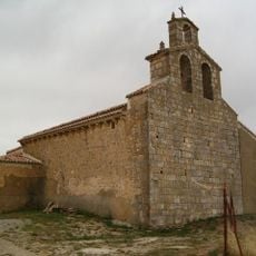
Iglesia de la Asunción
10 km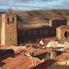
Conjunto Histórico de Sigüenza
10 km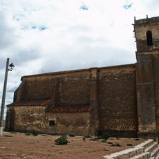
Church of San Silvestre, Algora
4.5 km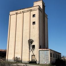
Silo de Alcolea del Pinar
14.7 km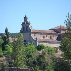
Santuario de Nuestra Señora de la Salud (Barbatona)
9.5 km
Church of San Vicente
9.9 km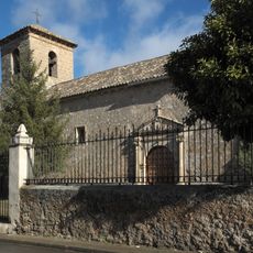
Church of San Pedro Apóstol
11.6 km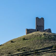
Castle of Torresaviñán
2.2 km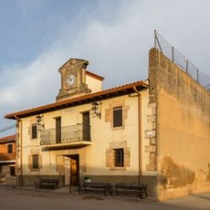
Alaminos Town Hall
15.8 km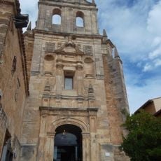
Monasterio de San Blas, Cifuentes
21.6 km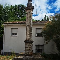
Pillory of Algora
4.5 km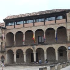
Town hall of Sigüenza
10 kmReviews
Visited this place? Tap the stars to rate it and share your experience / photos with the community! Try now! You can cancel it anytime.
Discover hidden gems everywhere you go!
From secret cafés to breathtaking viewpoints, skip the crowded tourist spots and find places that match your style. Our app makes it easy with voice search, smart filtering, route optimization, and insider tips from travelers worldwide. Download now for the complete mobile experience.

A unique approach to discovering new places❞
— Le Figaro
All the places worth exploring❞
— France Info
A tailor-made excursion in just a few clicks❞
— 20 Minutes