
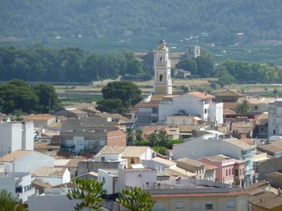
Ròtova, municipality of Spain
Location: Safor
Capital city: Ròtova
Elevation above the sea: 74 m
Shares border with: Ador, Alfauir, Almiserà, Llutxent, Palma de Gandia
Website: http://rotova.es
GPS coordinates: 38.93255,-0.25810
Latest update: March 22, 2025 18:08
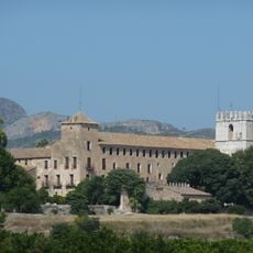
Monastery of Sant Jeroni de Cotalba
1.4 km
El Surar, Valencia
6.8 km
Castell de Palma
1.8 km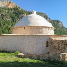
El Morabet
3.7 km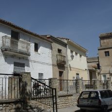
Restes de l'antiga casa senyorial del carrer del Barranc, Alfauir
809 m
Palace of the Counts of Ròtova
189 m
Torre d'Alfauir
838 m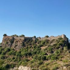
Castell de Borró
1.7 km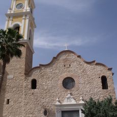
Church of Our Lady of Loreto, Ador
3.3 km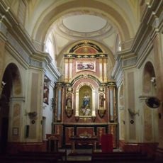
Church of Alfauir
752 m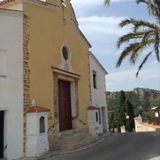
Hermitage of Saint Joseph, Ador
3.3 km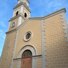
Església de Sant Bartomeu de Ròtova
174 m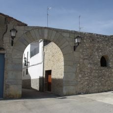
Castle of Castellonet de la Conquesta
2 km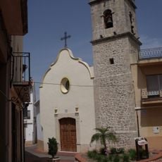
Església dels Sants Joans de Potries
5.8 km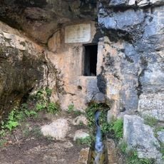
Font de la Finestra
2 km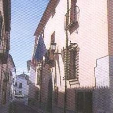
Casa consistorial de Potríes
5.7 km
Parpalló-Borrell
6.8 km
Pottery of Àngel Domínguez in Potries
5.7 km
Museu "Cassoleria d'Àngel Domínguez"
5.7 km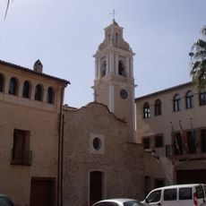
Church of Saint James
2 km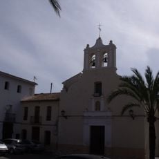
Church of the Nativity
2.9 km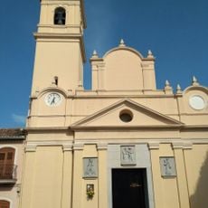
Church of the Visitation of Mary
6.2 km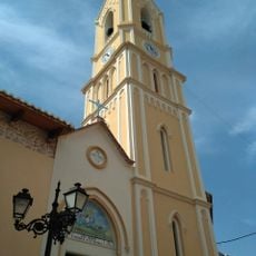
Church of Saint Michael
3.2 km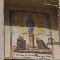
Ceramic panel of Our Lady of El Pilar
5.9 km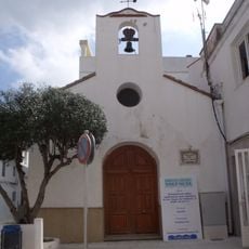
Church of Saint James
6 km
Cova de la Clau
2.7 km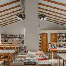
Agència de Lectura Municipal de Potries
5.7 km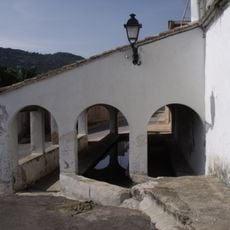
Wash house of Almiserà
2.9 kmReviews
Visited this place? Tap the stars to rate it and share your experience / photos with the community! Try now! You can cancel it anytime.
Discover hidden gems everywhere you go!
From secret cafés to breathtaking viewpoints, skip the crowded tourist spots and find places that match your style. Our app makes it easy with voice search, smart filtering, route optimization, and insider tips from travelers worldwide. Download now for the complete mobile experience.

A unique approach to discovering new places❞
— Le Figaro
All the places worth exploring❞
— France Info
A tailor-made excursion in just a few clicks❞
— 20 Minutes