
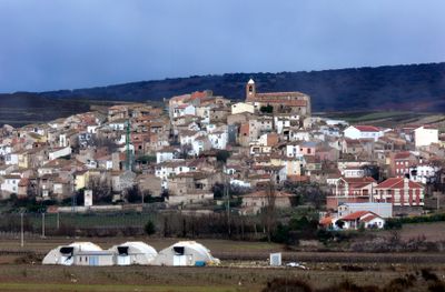
Grávalos, municipality in La Rioja, Spain
Location: Cervera
Capital city: Grávalos
Elevation above the sea: 750 m
Part of: Mancomunitat de Desarrollo Turístico de la Senda Termal
Shares border with: Alfaro, Cervera del Río Alhama, Igea, Cornago, Villarroya, La Rioja, Quel, La Rioja, Autol
Website: http://gravalos.org
GPS coordinates: 42.10806,-2.00083
Latest update: April 25, 2025 09:42
Monastery of Fitero
13.2 km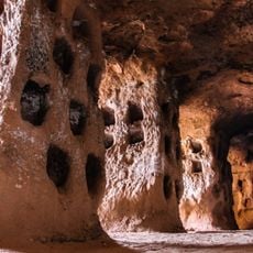
The Caves of Hundered Pillars
15.8 km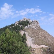
Peña Isasa
13.5 km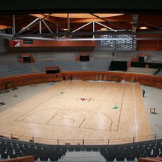
Arnedo Arena
15.4 km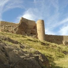
Castle of Arnedo
15.6 km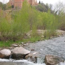
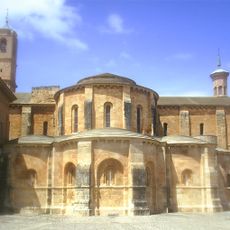
Monasterio de Nuestra Señora de Vico
15.6 km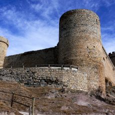
Castle of Cornago
9.2 km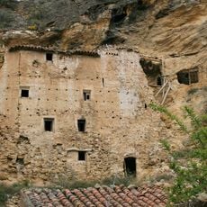
Palacio de Inestrillas
15.4 km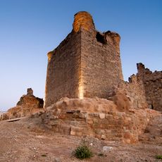
Castle of Quel
13.9 km
Villarroya fossil site
6.1 km
Chalé de los Sevilla
15.4 km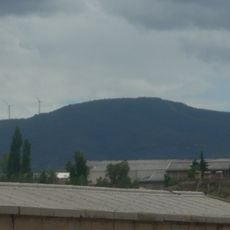
Monte Gatún
7.1 km
Callaghan
15.1 km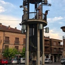
Monument of the Plaza de España
16.4 km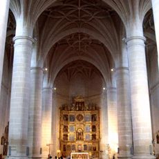
Church of San Juan Bautista
16.2 km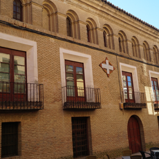
Navascués House
16.3 km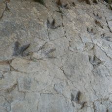
Yacimiento de Los Cayos
7.5 km
Yacimiento Árbol de Igea
6.8 km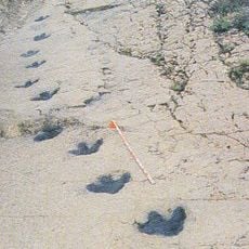
Yacimiento de Valdeté
13.4 km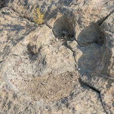
Archaeological Site of Navillas
6.6 km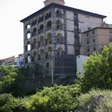
Palace of Marques de Casa Torre
4.3 km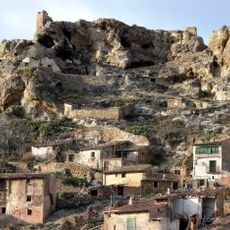
Castillo de Cervera del Río Alhama
11.8 km
Crucero de Muro de Aguas
9.9 km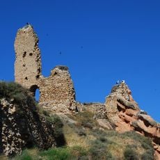
Castle of Autol
11.8 km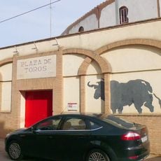
Aldeanueva de Ebro bullring
16.4 km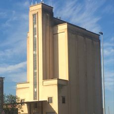
Silo of Corella
16.9 km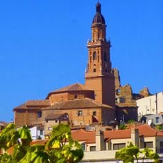
Church of San Adrián and Santa Natalia, Autol
11.8 km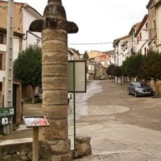
Rollo de Muro de Aguas
9.5 kmReviews
Visited this place? Tap the stars to rate it and share your experience / photos with the community! Try now! You can cancel it anytime.
Discover hidden gems everywhere you go!
From secret cafés to breathtaking viewpoints, skip the crowded tourist spots and find places that match your style. Our app makes it easy with voice search, smart filtering, route optimization, and insider tips from travelers worldwide. Download now for the complete mobile experience.

A unique approach to discovering new places❞
— Le Figaro
All the places worth exploring❞
— France Info
A tailor-made excursion in just a few clicks❞
— 20 Minutes