
El Donadío, human settlement in Úbeda, Jaén Province, Andalusia, Spain
Location: Úbeda
Inception: 1954
Elevation above the sea: 350 m
Part of: Settlements of the National Institute of Colonization
GPS coordinates: 37.93300,-3.35000
Latest update: March 14, 2025 18:23
Iglesia del Salvador
8.5 km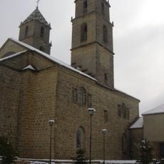
Hospital de Santiago
9.1 km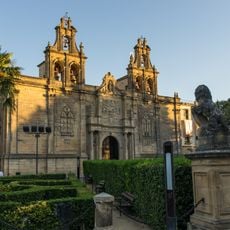
Iglesia de Santa María de los Reales Alcázares
8.4 km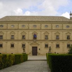
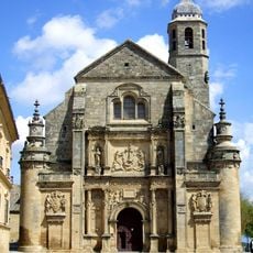
Vazquez de Molina Palace
8.5 km
Iglesia de San Pablo
8.7 km
Colonia Salaria
2.4 km
Palacio de Francisco de los Cobos
8.5 km
Palacio del Deán Ortega
8.5 km
Royal Convent of Santa Clara
8.7 km
Parador de Ubeda
8.5 km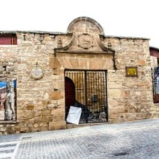
Bullring of Úbeda
9 km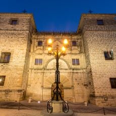
Casa de las Torres
8.5 km
Alcázar
8.3 km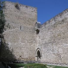
City wall of Úbeda
8.4 km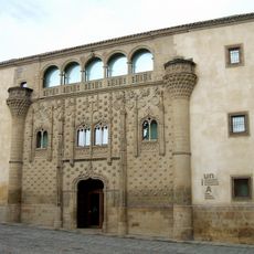
Renaissance Monumental Ensembles of Úbeda and Baeza
8.9 km
Centro de Interpretación Olivar y Aceite
8.9 km
Museo Arqueológico de Úbeda
8.8 km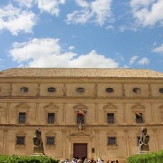
Palacio de Vela de los Cobos
8.6 km
Vandelvira Turismo visitas guiadas
8.7 km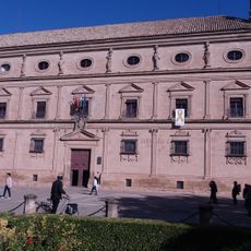
Palacio Juan Vázquez de Molina
8.5 km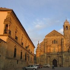
Centro Histórico de Úbeda
8.9 km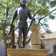
Monumento a Andrés de Vandelvira, Úbeda
8.4 km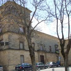
Palacio del Marqués de Mancera
8.4 km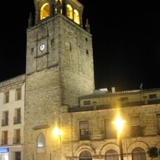
Torre del Reloj
8.9 km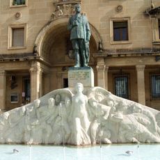
Monumento al General Saro, Úbeda
8.9 km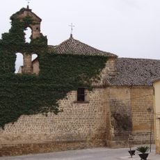
Iglesia de San Lorenzo (Úbeda)
8.4 km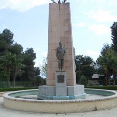
Glorieta-mirador del Alférez Rojas Navarrete
8.4 km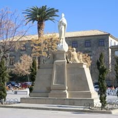
Monumento a San Juan de la Cruz, Úbeda
8.6 kmReviews
Visited this place? Tap the stars to rate it and share your experience / photos with the community! Try now! You can cancel it anytime.
Discover hidden gems everywhere you go!
From secret cafés to breathtaking viewpoints, skip the crowded tourist spots and find places that match your style. Our app makes it easy with voice search, smart filtering, route optimization, and insider tips from travelers worldwide. Download now for the complete mobile experience.

A unique approach to discovering new places❞
— Le Figaro
All the places worth exploring❞
— France Info
A tailor-made excursion in just a few clicks❞
— 20 Minutes