
Samartín, civil parish (parroquia) in San Martín del Rey Aurelio council, Asturias, Spain
Location: Samartín del Rei Aurelio
Elevation above the sea: 247 m
Shares border with: Cocañín, Blimea, Santa Bárbola, San Andrés de Llinares
GPS coordinates: 43.27441,-5.61380
Latest update: April 4, 2025 15:32
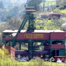
Pozo Sotón
965 m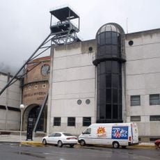
Mining Museum of Asturias
3.6 km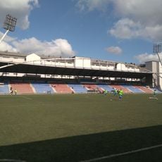
Estadio Ganzábal
6.9 km
Mining ecomuseum of the Valley of Samuño
5.1 km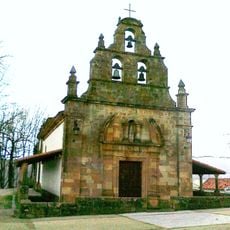
Hermitage of Our Lady of the Carbayo (Langreo)
6 km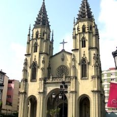
Santiago
6.1 km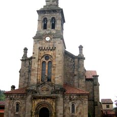
San Esteban
4.7 km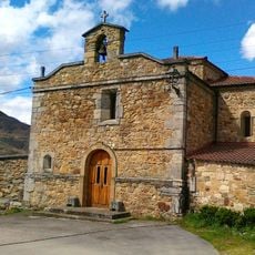
Santuario de la Virgen del Otero
5.7 km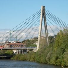
Puente atirantado del Nalón
6.3 km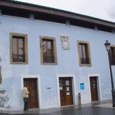
Casa de los Alberti
4.7 km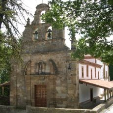
Sanctuary of Carbayu
6 km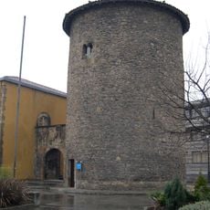
Tower of the Quintana (Ciaño)
4.9 km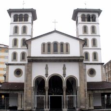
Iglesia de San Andrés
2.6 km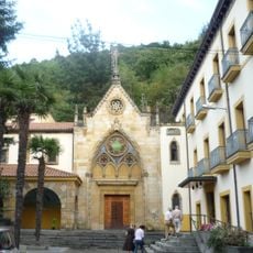
Church of Casa de Cimadevilla, Ciaño
4.7 km
Teatro Maxi
5 km
Puente de los Gallegos
774 m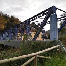
Puente del Miramar
1.8 km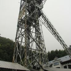
Castillete del pozo San Luis
5.1 km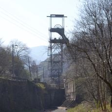
Castillete del pozo Samuño
5 km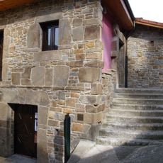
Casona del Bravial
2 km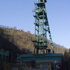
Castillete del pozo Carrio
3.2 km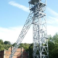
Castillete del pozo Mosquitera II
6.4 km
Castillete del pozo Sotón n.º 2
982 m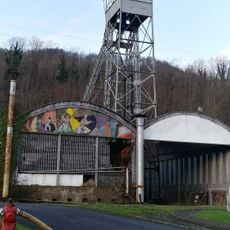
Castillete del pozo Fondón n.º 1
6.6 km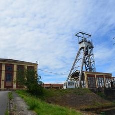
Castillete del pozo Candín II
6.6 km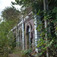
Castillete del pozo Modesta
5.7 km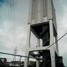
Torre de extracción del pozo Candín I
6.6 km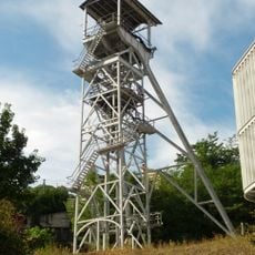
Castillete del pozo Entrego
2.4 kmReviews
Visited this place? Tap the stars to rate it and share your experience / photos with the community! Try now! You can cancel it anytime.
Discover hidden gems everywhere you go!
From secret cafés to breathtaking viewpoints, skip the crowded tourist spots and find places that match your style. Our app makes it easy with voice search, smart filtering, route optimization, and insider tips from travelers worldwide. Download now for the complete mobile experience.

A unique approach to discovering new places❞
— Le Figaro
All the places worth exploring❞
— France Info
A tailor-made excursion in just a few clicks❞
— 20 Minutes