
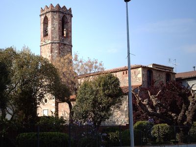
La Batllòria, human settlement in Sant Celoni, Vallès Oriental, Àmbit metropolità de Barcelona, Spain
Location: Sant Celoni
Elevation above the sea: 92 m
GPS coordinates: 41.71747,2.54618
Latest update: March 4, 2025 21:05
Sant Salvador de Breda
3.6 km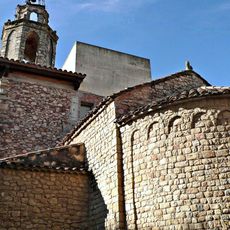
Santa Maria de Breda
3.6 km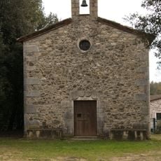
Sant Cristòfol de Gualba
3.6 km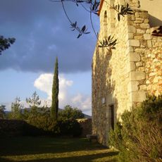
Sant Llop de Viabrea
3.3 km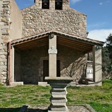
Sant Llorenç de Vilardell
3.3 km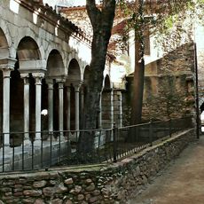
Nucli antic de Breda
3.7 km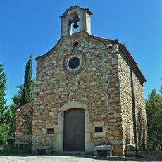
Santa Anna de Breda
3.1 km
Can Cardona
3.3 km
Cal Gravat
3.4 km
Casa consistorial de Riells i Viabrea
1.3 km
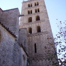
Santa Maria de l'Esperança
135 m
Ca la Pudor
2.7 km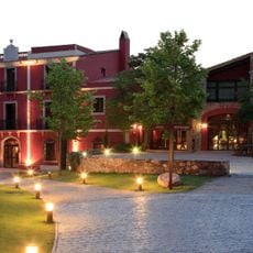
Can Batlle (Sant Celoni)
3.5 km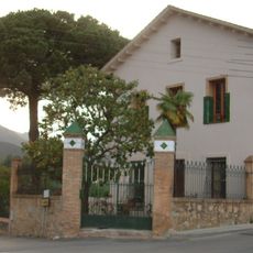
Torre Sala
3.7 km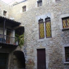
Pati de l'Abadia
3.5 km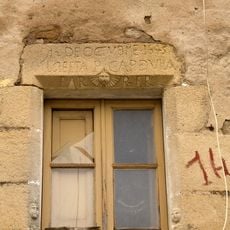
Can Surós
3.7 km
Can Bruguera
151 m
Can Masferrer
2 km
Can Cambó Vell (Gualba)
2 km
Can Valent
3.7 km
Can Fausto
3.7 km
Can Marc (Breda)
2.5 km
Ca l'Argemí
3.7 km
Cal Batllori
305 m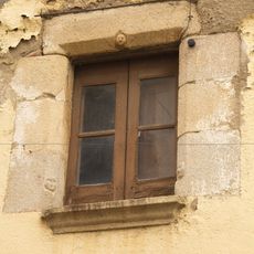
El Convent
3.7 km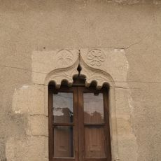
House in carrer dels Còdols, 8
3.7 km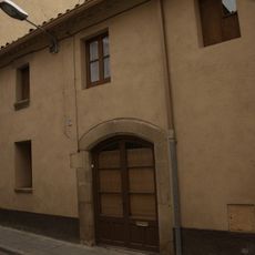
House in carrer Nou, 41
3.7 km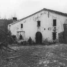
Can Pascol
2.5 kmReviews
Visited this place? Tap the stars to rate it and share your experience / photos with the community! Try now! You can cancel it anytime.
Discover hidden gems everywhere you go!
From secret cafés to breathtaking viewpoints, skip the crowded tourist spots and find places that match your style. Our app makes it easy with voice search, smart filtering, route optimization, and insider tips from travelers worldwide. Download now for the complete mobile experience.

A unique approach to discovering new places❞
— Le Figaro
All the places worth exploring❞
— France Info
A tailor-made excursion in just a few clicks❞
— 20 Minutes