
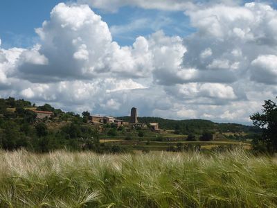
Peracamps, human settlement in Spain
Location: Llobera
Elevation above the sea: 840 m
GPS coordinates: 41.91689,1.43572
Latest update: March 2, 2025 23:21
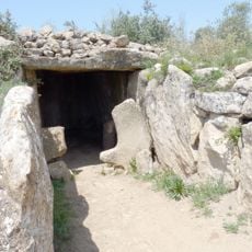
Dolmen de Llanera
3.9 km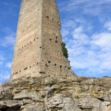
Torre de Peracamps
23 m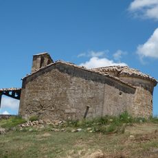
Santa Maria de Montraveta
843 m
Sant Andreu de Montconill
3.1 km
Església de Sant Climenç
4 km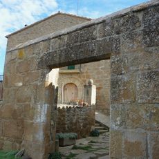
Folch
1.7 km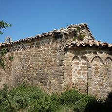
Sant Quirze de la Coma
3.3 km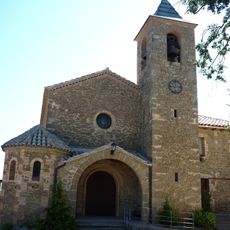
Sant Pere Màrtir de Peracamps
2.4 km
Capella de Coïns
2.9 km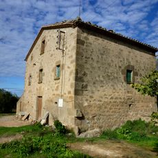
Miravalls
1.5 km
Sant Salvador del Coll de Llanera
4 km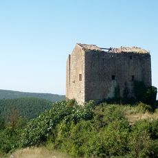
Xerpell de la Costa
2.7 km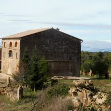
Guerres (Llobera)
2.7 km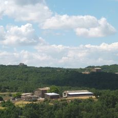
Huguets
3.3 km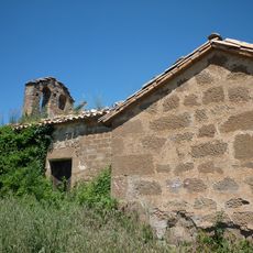
Sant Pere de la Sala
2.5 km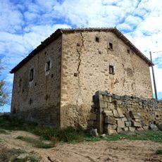
La Coromina
3 km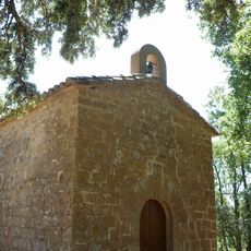
Santa Magdalena de Cal Setó
3.7 km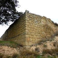
Santa Maria de Peracamps
118 m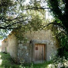
Sant Martí de Salomons
3.3 km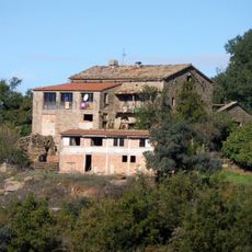
La Vila de Gola de Bous
3.5 km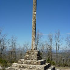
Creu de la Vila (Biosca)
3.9 km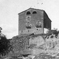
Secanella
1.2 km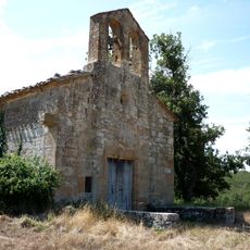
Sant Isidre de Falou
3.3 km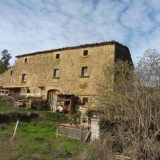
El Piteu de Baix
2.1 km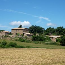
La Sala
2.5 km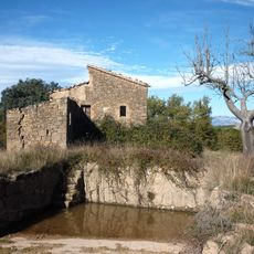
Comadòria
889 m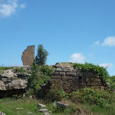
Salomons
3.1 km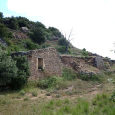
Montconill
2.8 kmReviews
Visited this place? Tap the stars to rate it and share your experience / photos with the community! Try now! You can cancel it anytime.
Discover hidden gems everywhere you go!
From secret cafés to breathtaking viewpoints, skip the crowded tourist spots and find places that match your style. Our app makes it easy with voice search, smart filtering, route optimization, and insider tips from travelers worldwide. Download now for the complete mobile experience.

A unique approach to discovering new places❞
— Le Figaro
All the places worth exploring❞
— France Info
A tailor-made excursion in just a few clicks❞
— 20 Minutes