
Pont del Tasar, bridge in Monistrol de Calders, Spain
Location: Monistrol de Calders
Inception: 20 century
Elevation above the sea: 436 m
Length: 60 m
Width: 9 m
GPS coordinates: 41.76209,2.01209
Latest update: April 30, 2025 16:33

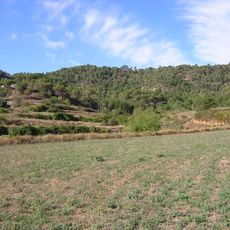
Sot del Planter
586 m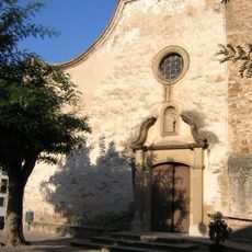
Sant Feliu de Monistrol de Calders
303 m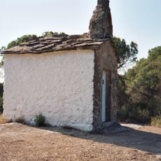
Sant Pere Màrtir (Monistrol de Calders)
854 m
Sant Joan Baptista de Monistrol de Calders
303 m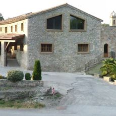
El Solà (Monistrol de Calders)
372 m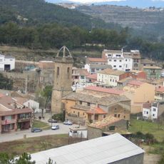
Mas Guardiola
327 m
Parc del Serrat
131 m
Ca la Miquela
254 m
Els Campassos
720 m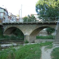
Pont del Rector
229 m
La Feixa Llarga
611 m
Pont del Solà
415 m
Pont del Collet
70 m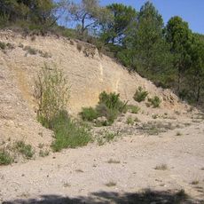
Gravera del Tasar
401 m
Baga del Coll de Portella
786 m
Camp del Serni
590 m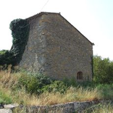
La Fassina del Solà
383 m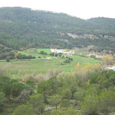
Granja dels Campassos
855 m
Resclosa del Pla de Cardona
769 m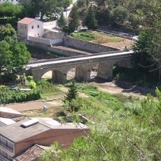
Pont de Cal Serni
387 m
Sot de l'Abellar
901 m
Camp del Mestre Plans
813 m
La Casella
713 m
L'Estoviada de la Païssa
608 m
Camp del Collet
334 m
Molí del Solà
450 m
Mesclants
65 m
Horts dels Pins
167 mReviews
Visited this place? Tap the stars to rate it and share your experience / photos with the community! Try now! You can cancel it anytime.
Discover hidden gems everywhere you go!
From secret cafés to breathtaking viewpoints, skip the crowded tourist spots and find places that match your style. Our app makes it easy with voice search, smart filtering, route optimization, and insider tips from travelers worldwide. Download now for the complete mobile experience.

A unique approach to discovering new places❞
— Le Figaro
All the places worth exploring❞
— France Info
A tailor-made excursion in just a few clicks❞
— 20 Minutes