
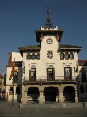
Ajuntament de Sant Celoni
Ajuntament de Sant Celoni
Location: Sant Celoni
Architectural style: Noucentisme
GPS coordinates: 41.69005,2.49238
Latest update: March 19, 2025 20:47

Pont Aeri
2.6 km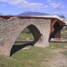
Pont Trencat
1.2 km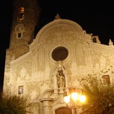
Església de Sant Martí de Sant Celoni
179 m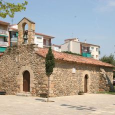
Capella de Sant Ponç de Sant Celoni
508 m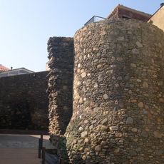
La Força de Sant Celoni
189 m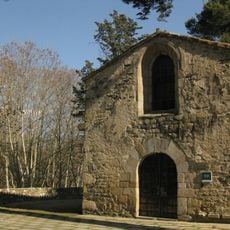
Sant Martí de Pertegàs
449 m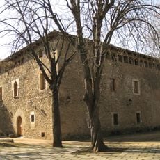
Rectoria Vella
459 m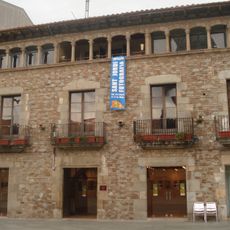
Can Ramis
40 m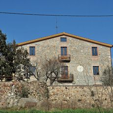
Can Draper
828 m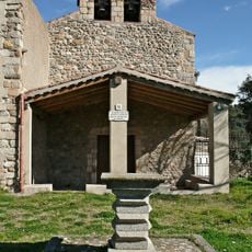
Sant Llorenç de Vilardell
2.4 km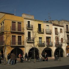
Plaça de la Vila de Sant Celoni
29 m
Mare de Déu del Puig de Bellver
773 m
Portes del Montseny
683 m
Can Tresserres
1.5 km
Can Carreres
1.4 km
Pedra Miradora
2.1 km
Can Batlle (Sant Celoni)
2.5 km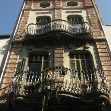
Can Barri
50 m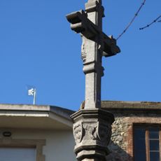
Creu de terme de Sant Celoni
514 m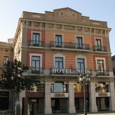
Hotel Suís
67 m
Sant Celoni Municipal Library
304 m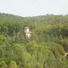
Ca l'Alzina Nou
2.3 km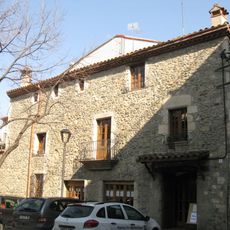
Can Boada
126 m
Cal Vilà
48 m
Can Lligada
1.2 km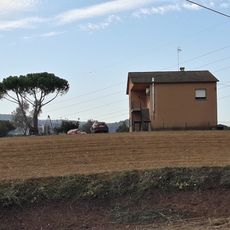
Can Jaume
2.4 km
Can Rafelet
2.5 km
Pou de gel de Can Draper
1.3 kmReviews
Visited this place? Tap the stars to rate it and share your experience / photos with the community! Try now! You can cancel it anytime.
Discover hidden gems everywhere you go!
From secret cafés to breathtaking viewpoints, skip the crowded tourist spots and find places that match your style. Our app makes it easy with voice search, smart filtering, route optimization, and insider tips from travelers worldwide. Download now for the complete mobile experience.

A unique approach to discovering new places❞
— Le Figaro
All the places worth exploring❞
— France Info
A tailor-made excursion in just a few clicks❞
— 20 Minutes