
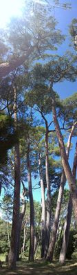
Pineda de Can Ferrer del Coll
Location: Piera
Elevation above the sea: 182 m
Height: 41.12 m
Diameter: 17.63 m
GPS coordinates: 41.50070,1.71530
Latest update: March 20, 2025 19:27
Castell de Cabrera
2.2 km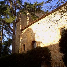
Castell de Jaume I (Piera)
2.8 km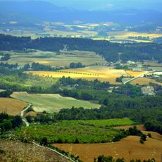
Valls de l'Anoia
1.7 km
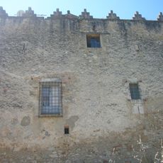
Castell de la Ventosa
1.3 km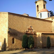
Santa Maria de Piera
2.7 km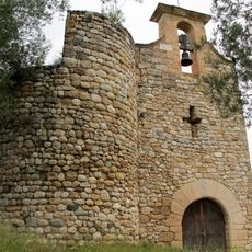
Castell de Freixe
3.1 km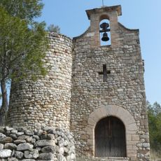
Sant Nicolau de Freixe
3.1 km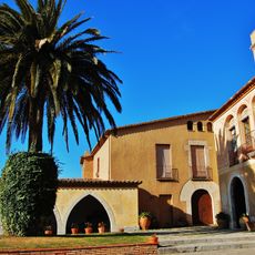
Can Feixes
2.5 km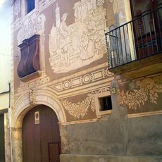
Casa Sastre
3.2 km
Cal Raspall
2.1 km
Cal Bota
2.3 km
Cal Vallès
2.2 km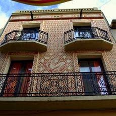
Cal Miquelet
2.1 km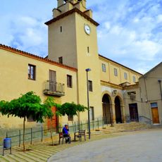
Sant Bartomeu de Vallbona d'Anoia
2.1 km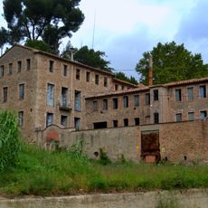
Cal Romaní
3.2 km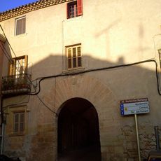
Portal Romanyà
3 km
Cal Sabaté
2.1 km
Sant Sebastià del Bedorc
739 m
Casa de la Volta
2.8 km
Cal Borrull
2.8 km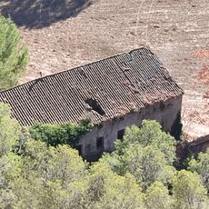
Molí fariner de Can Romeu del Bedorc
488 m
Cal Metge Vidal
3.2 km
Torre Sant Joan
2.1 km
Ajuntament de Piera
3 km
Plaça de Joan Orpí
3 km
Jaciment al Sud-Oest de Vallbona
2.2 km
Sant Salvador
2.2 km
Pont de Capellades
3 kmReviews
Visited this place? Tap the stars to rate it and share your experience / photos with the community! Try now! You can cancel it anytime.
Discover hidden gems everywhere you go!
From secret cafés to breathtaking viewpoints, skip the crowded tourist spots and find places that match your style. Our app makes it easy with voice search, smart filtering, route optimization, and insider tips from travelers worldwide. Download now for the complete mobile experience.

A unique approach to discovering new places❞
— Le Figaro
All the places worth exploring❞
— France Info
A tailor-made excursion in just a few clicks❞
— 20 Minutes