
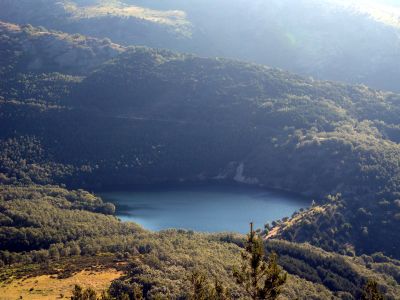
Miraflores de la Sierra reservoir, reservoir in the Community of Madrid
Location: Miraflores de la Sierra
GPS coordinates: 40.82354,-3.79668
Latest update: March 4, 2025 04:55
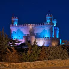
New Castle of Manzanares el Real
12.1 km
Monasterio de El Paular
10.5 km
Santillana reservoir
11.3 km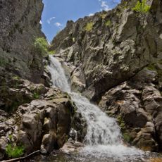
Cascadas del Purgatorio
6.1 km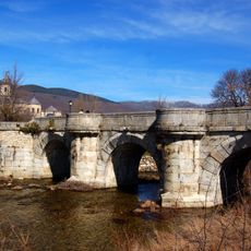
Puente del Perdón
10.3 km
Archaeological site of Los Calveros
11.2 km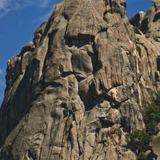
Risco de El Pájaro
8.9 km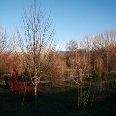
Arboreto Giner de los Ríos
10.5 km
Asómate de Hoyos
7.5 km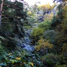
Chorrera de Mojonavalle
4.8 km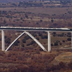
Viaducto Arroyo del Valle
9.8 km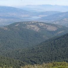
Cabeza Mediana
9.6 km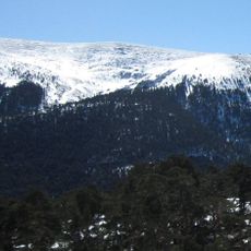
Loma de Pandasco
10 km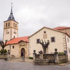
Church of San Andrés Apóstol
11.6 km
Center for visitors of Puente del Perdón, Rascafría
10.5 km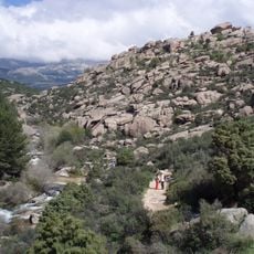
Zona arqueológica de La Pedriza
11.5 km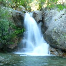
Centro de educación ambiental Manzanares del Real
12 km
Jardín educativo del Centro de Investigación Fernando González Bernáldez
7.8 km
Alamo
2.7 km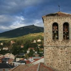
Church of La Asunción de Nuestra Señora
2.9 km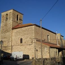
Church of San Miguel
11.6 km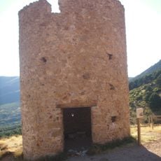
Torre de la Mina
7.3 km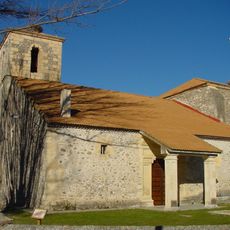
Church of Santa Marina
11.1 km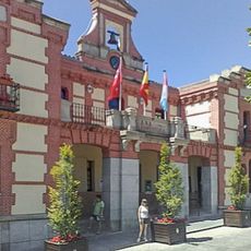
Town hall of Rascafría
11.4 km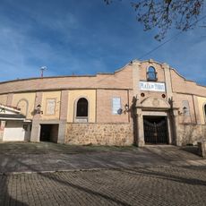
Plaza de toros de Miraflores de la Sierra
3.4 km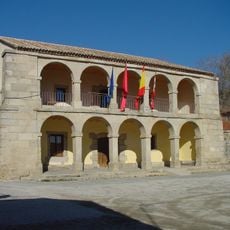
Town Hall of Bustarviejo
8.3 km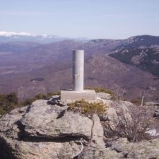
Cabeza Mediana
9.5 km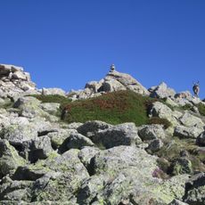
Hierro
11.8 kmReviews
Visited this place? Tap the stars to rate it and share your experience / photos with the community! Try now! You can cancel it anytime.
Discover hidden gems everywhere you go!
From secret cafés to breathtaking viewpoints, skip the crowded tourist spots and find places that match your style. Our app makes it easy with voice search, smart filtering, route optimization, and insider tips from travelers worldwide. Download now for the complete mobile experience.

A unique approach to discovering new places❞
— Le Figaro
All the places worth exploring❞
— France Info
A tailor-made excursion in just a few clicks❞
— 20 Minutes