
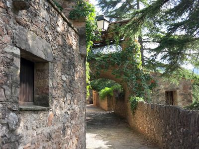
Passatge Camilo Antonietti, carrer de Mura
Location: Mura
Elevation above the sea: 465 m
GPS coordinates: 41.69966,1.97565
Latest update: September 20, 2025 07:57
El Puig de la Balma
1.3 km
Montcau
3.7 km
Sant Martí de Mura
85 m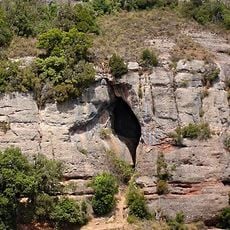
Cova Simanya
4 km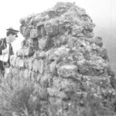
Castell de Mura
1.6 km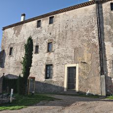
La Mata
3.9 km
Roca Sareny
3.6 km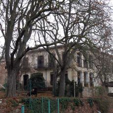
La Vila
964 m
Cantacorbs
1.3 km
Molí del Mig
814 m
Santa Maria de Rocafort
3.8 km
El Peric
434 m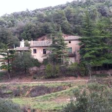
La Vall
2.2 km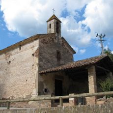
Sant Antoni de Pàdua
471 m
Coma d'en Vila
3.7 km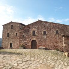
Masia de Sant Lleïr
1.4 km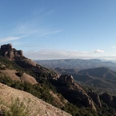
Agulles de Finestrelles
3.8 km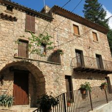
Casa de la Vila de Mura
35 m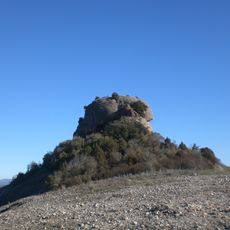
Puig-andreu
2.4 km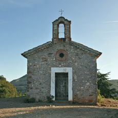
Sant Jaume de la Mata
3.9 km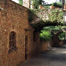
Casa del Molí
18 m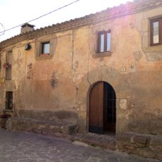
El Llobet
66 m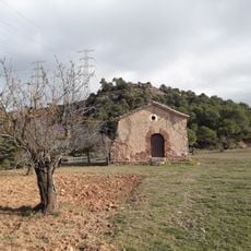
Capella de Sant Lleïr
1.4 km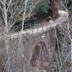
Pont de Mura
1.9 km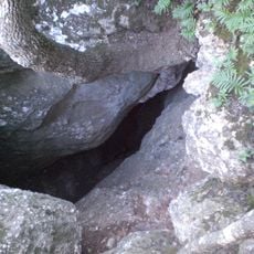
Cau dels Emboscats
3.6 km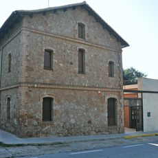
Centre d'Informació del Coll d'Estenalles
3.7 km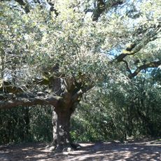
Alzina del Vent
3.9 km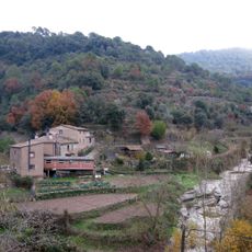
Cal Miqueló
797 mReviews
Visited this place? Tap the stars to rate it and share your experience / photos with the community! Try now! You can cancel it anytime.
Discover hidden gems everywhere you go!
From secret cafés to breathtaking viewpoints, skip the crowded tourist spots and find places that match your style. Our app makes it easy with voice search, smart filtering, route optimization, and insider tips from travelers worldwide. Download now for the complete mobile experience.

A unique approach to discovering new places❞
— Le Figaro
All the places worth exploring❞
— France Info
A tailor-made excursion in just a few clicks❞
— 20 Minutes