
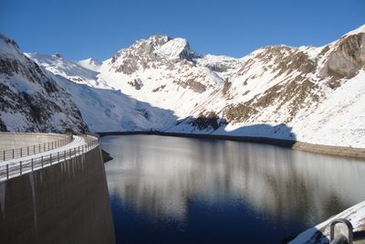
Presa de Llauset, presa que conté el pantà de Llauset
Location: Montanuy
Official opening: 1983
Elevation above the sea: 2,192 m
Height: 89 m
Length: 300 m
GPS coordinates: 42.58083,0.69444
Latest update: April 3, 2025 16:09
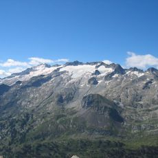
Aneto
6.4 km
GR 11
3.9 km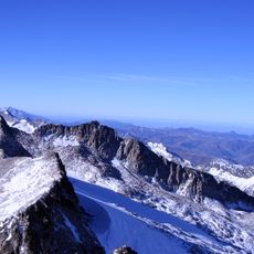
Aneto Glacier
7.4 km
Tuca de Vallibierna
3.7 km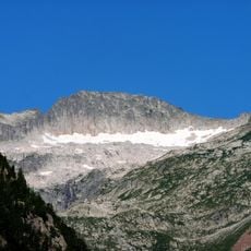
Tuc de Mulleres
5.4 km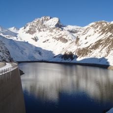
Pantà de Llauset
501 m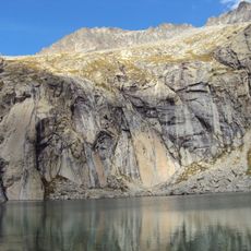
Pico de Russell
4.6 km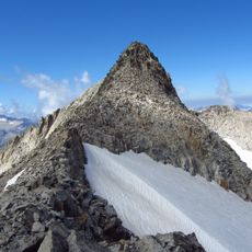
Pico del Medio
7.6 km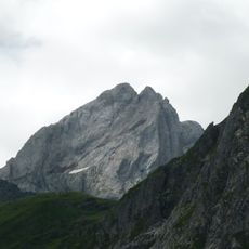
Pico Forcanada
7 km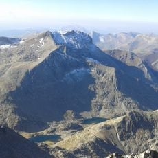
Tuca de Culebres
3.8 km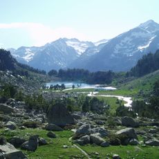
Capçalera de la Noguera Ribagorçana
7.7 km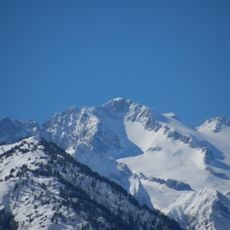
Margalida
5.4 km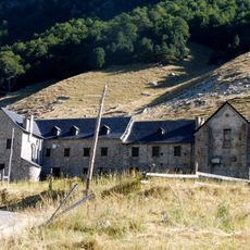
Hospital de Sant Nicolau dels Pontells
7.7 km
Punta Bretxa de Tempestades
5.9 km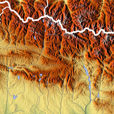
Punta Russell Oriental
4.2 km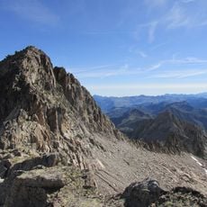
Cap deth Hòro de Molières
5.8 km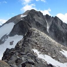
Tuca Collado de Coronas
7.1 km
Espatlla d'Aneto
6 km
Pico de Tempestades
5.7 km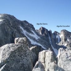
Agulla Escudier
6.4 km
Punta Oliveras-Arenas
6.7 km
Agulla Daviu
6.4 km
Agulla S de Russell
4.2 km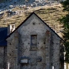
Capella de Santa Quitèria
7.7 km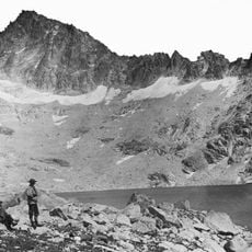
Agulla Cregüenya
7.7 km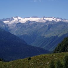
Punta Bretxa de Russell
5.2 km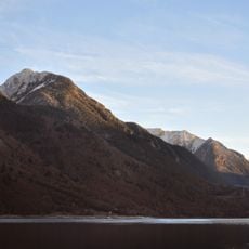
Cap de Llaveio
7.4 km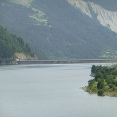
Presa de Baserca
5.5 kmReviews
Visited this place? Tap the stars to rate it and share your experience / photos with the community! Try now! You can cancel it anytime.
Discover hidden gems everywhere you go!
From secret cafés to breathtaking viewpoints, skip the crowded tourist spots and find places that match your style. Our app makes it easy with voice search, smart filtering, route optimization, and insider tips from travelers worldwide. Download now for the complete mobile experience.

A unique approach to discovering new places❞
— Le Figaro
All the places worth exploring❞
— France Info
A tailor-made excursion in just a few clicks❞
— 20 Minutes