
Gardens of Soutomaior Castle, gardens in Soutomaior (Spain)
Location: Soutomaior
Elevation above the sea: 166 m
GPS coordinates: 42.32951,-8.56749
Latest update: March 6, 2025 05:44

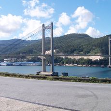
Rande Bridge
8.9 km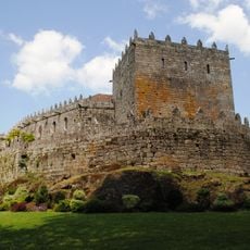
Castle of Soutomaior
74 m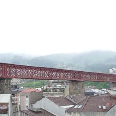
Viaduto de Madrid, Redondela
6.4 km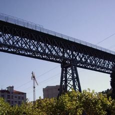
Viaduto de Pontevedra, Redondela
6 km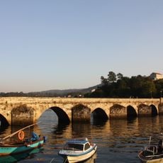
Ponte Sampaio Bridge
3.7 km
Convento de Vilavella
6.7 km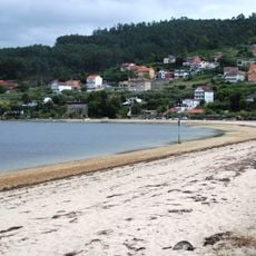
Praia de Cesantes
4.8 km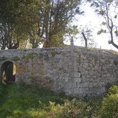
Fortaleza de Castrizán
1.9 km
MEIRANDE
8.8 km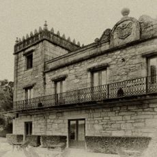
Pazo de Torres Agrelo
5 km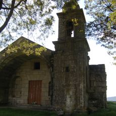
Capela da Virxe das Neves
1.9 km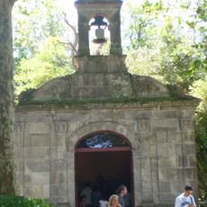
Ermida de San Simón
5.6 km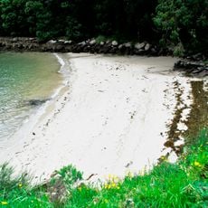
Playa de Trabesada
8.3 km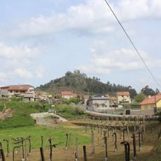
Castro da Peneda
1.9 km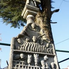
Wayside shrine of O Toural
6.7 km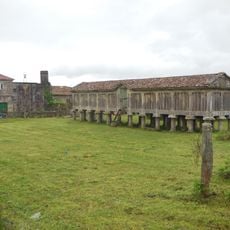
Hórreo do Toural
6.8 km
Church of Santiago de Redondela
6.1 km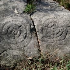
Pedra das Rodiñas
2.5 km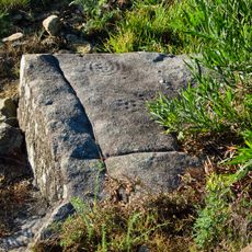
Petroglyphs of Coto do Corno
8.4 km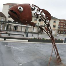
A Troita
8.6 km
Biblioteca Círculo Recreativo Redondela
6.1 km
Biblioteca Pública Municipal de Redondela - Valle-Inclán
6.2 km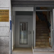
Biblioteca Pública Municipal de Soutomaior - Luis Seoane
3.7 km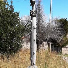
Cruceiro do cemiterio de Santa Cristina de Cobres
6.6 km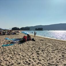
Cova do Asno
4.6 km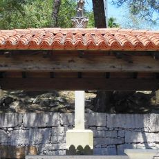
Cruceiro do Alto da Lapa
5 km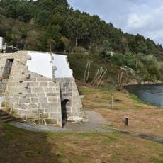
Forno de Cal de Cobres
8.2 km
Porto de Cesantes
5.6 kmReviews
Visited this place? Tap the stars to rate it and share your experience / photos with the community! Try now! You can cancel it anytime.
Discover hidden gems everywhere you go!
From secret cafés to breathtaking viewpoints, skip the crowded tourist spots and find places that match your style. Our app makes it easy with voice search, smart filtering, route optimization, and insider tips from travelers worldwide. Download now for the complete mobile experience.

A unique approach to discovering new places❞
— Le Figaro
All the places worth exploring❞
— France Info
A tailor-made excursion in just a few clicks❞
— 20 Minutes