
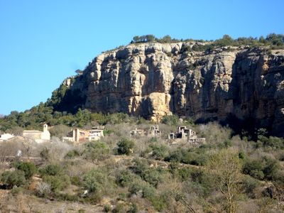
La Clua, populated place in Artesa de Segre (Noguera)
Location: Artesa de Segre
Elevation above the sea: 541 m
GPS coordinates: 41.94708,1.01652
Latest update: March 4, 2025 01:38
Castell de Vernet
5.1 km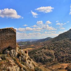
Castell de Rubió de Sòls
5.2 km
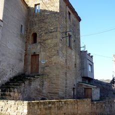
Castell de la Clua
102 m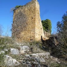
Castell de la Vall d'Ariet
1.8 km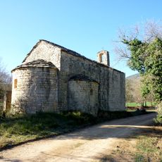
Sant Bartomeu de la Vall d'Ariet
1.5 km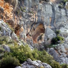
Les Aparets Coves
4.5 km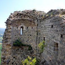
Castell de Castelló de Meià
5.1 km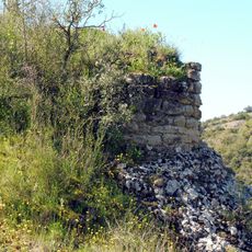
Castell d'Argentera
1.5 km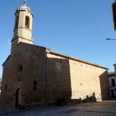
Sant Salvador d'Alentorn
4.4 km
Cal Guerra
5.3 km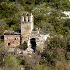
Mare de Déu del Remei d'Argentera
1.5 km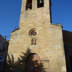
Santa Maria de Baldomar
3.1 km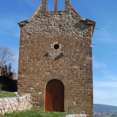
Sant Miquel de Rubió de Baix
4.9 km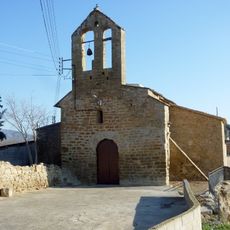
Santa Maria de Vernet
5.1 km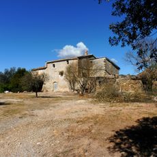
Cal Pau
2.4 km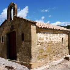
Mare de Déu del Carme d'Argentera
2.6 km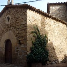
Sant Pere de Boada
3.4 km
Voltes i arcs de pas d'Alentorn
4.5 km
Molí fariner de Lluçars
4.5 km
Mare de Déu del Remei
2 km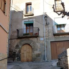
Casa Castells
3.2 km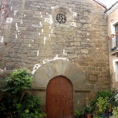
Sant Pere de Lluçars
4.6 km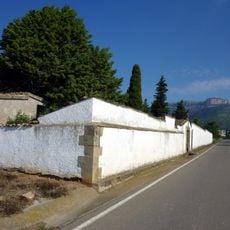
Cementiri de Vilanova de Meià
4 km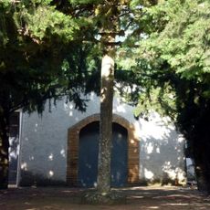
Creu de terme gòtica al fossar
4 km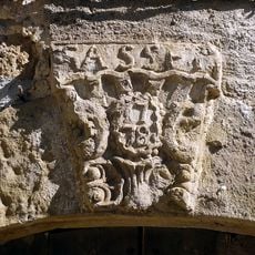
Casa Gasset
4.6 km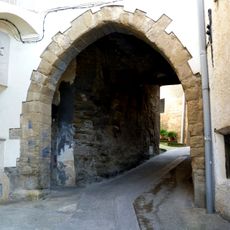
Portal i voltes medievals
5.3 km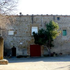
L'Abadia
5.1 km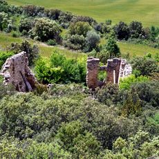
Cal Castellà
5 kmReviews
Visited this place? Tap the stars to rate it and share your experience / photos with the community! Try now! You can cancel it anytime.
Discover hidden gems everywhere you go!
From secret cafés to breathtaking viewpoints, skip the crowded tourist spots and find places that match your style. Our app makes it easy with voice search, smart filtering, route optimization, and insider tips from travelers worldwide. Download now for the complete mobile experience.

A unique approach to discovering new places❞
— Le Figaro
All the places worth exploring❞
— France Info
A tailor-made excursion in just a few clicks❞
— 20 Minutes