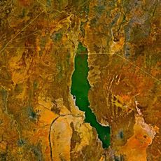
Segen Area Peoples Zone, ancienne zone de la région des nations, nationalités et peuples du Sud en Éthiopie
Location: Southern Nations, Nationalities, and Peoples' Region
GPS coordinates: 5.33975,37.44150
Latest update: April 14, 2025 20:38
Lomekwi
237.6 km
Sidama Region
188.5 km
Southwest Ethiopia Regional State
230.4 km
Bale Mountains National Park
287.2 km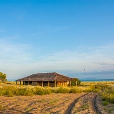
Koobi Fora
208.3 km
Nechisar National Park
78.8 km
Abijatta-Shalla National Park
267.5 km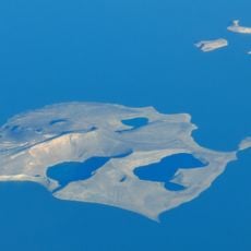
Central Island
256.5 km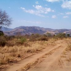
Mago National Park
145.9 km
Sibiloi National Park
196.1 km
Lothagam North Pillar Site
280.4 km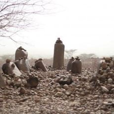
Namoratunga
280.4 km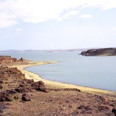
Lake Turkana National Parks
275.2 km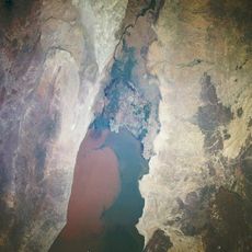
Lower Valley of the Omo
79.5 km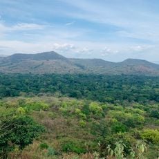
Chebera Churchura National Park
191 km
Yabelo Wildlife Sanctuary
117.9 km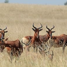
Senkelle Swayne's Hartebeest Sanctuary
227.7 km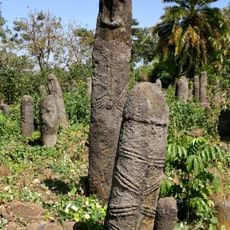
The Gedeo Cultural Landscape
138.1 km
O'a Caldera
268.5 km
Lapurr Sandstone
215.8 km
Karsa, Kenya
260.6 km
Awassa Kenema Stadium
221.4 km
Vale Inferior do Omo
174.2 km
Konso Cultural Landscape
11 km
Corbetti
232.8 km
Alutu
306.9 km
Aqushela
908.7 km
Visited this place? Tap the stars to rate it and share your experience / photos with the community! Try now! You can cancel it anytime.
Discover hidden gems everywhere you go!
From secret cafés to breathtaking viewpoints, skip the crowded tourist spots and find places that match your style. Our app makes it easy with voice search, smart filtering, route optimization, and insider tips from travelers worldwide. Download now for the complete mobile experience.

A unique approach to discovering new places❞
— Le Figaro
All the places worth exploring❞
— France Info
A tailor-made excursion in just a few clicks❞
— 20 Minutes