
Memorial to the Gustaf II Adolf Diet in 1616, Birger Brunilan muistomerkki Kustaa Aadolfin puistossa Helsingissä
Location: Helsinki
Inception: 1932
Creator: Birger Brunila
GPS coordinates: 60.21573,24.97855
Latest update: March 26, 2025 09:09

Vanhankaupunginkoski
151 m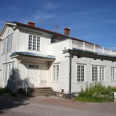
Annalan huvila
312 m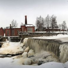
Museum of Technology
230 m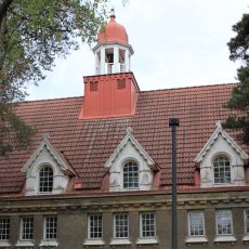
Koskela Church
804 m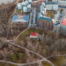
Villa Arabeski
335 m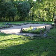
Vanhakaupunki church ruins
141 m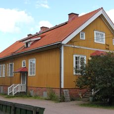
Annalan puutarhurin talo
270 m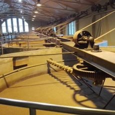
The Museum of Technology
280 m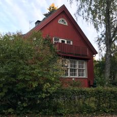
Onnentie 15
1.3 km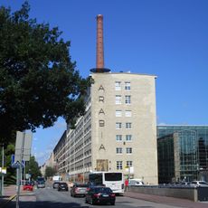
Arabias fabriker
802 m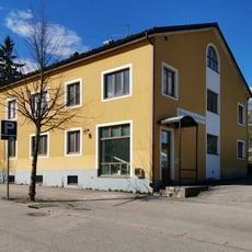
Taivaskalliontie 3
1.1 km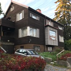
Kotipolku 8
1.2 km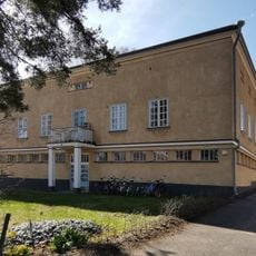
Pohjolankatu 66
1.1 km
Tekniikan museon veden sisäänottokaivo
170 m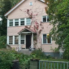
Onnentie 16
1.3 km
Vanhankaupungin voimalamuseo rakennus 2
129 m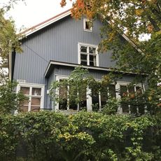
Onnentie 14
1.3 km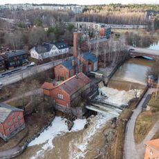
Vanhankaupungin voimalamuseo rakennus 3
129 m
Vanhankaupungin voimalamuseo 1
117 m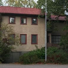
Onnentie 21
1.3 km
Vanhankaupungintie 3
99 m
Limingantie 96
763 m
Limingantie 98
731 m
Bokvillan
1.1 km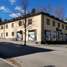
Taivaskalliontie 1
1.1 km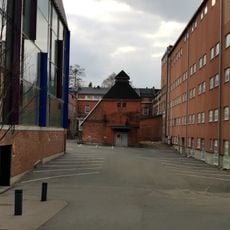
Arabiankatu 2
946 m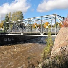
Vanhankaupungin Lukkosilta
346 m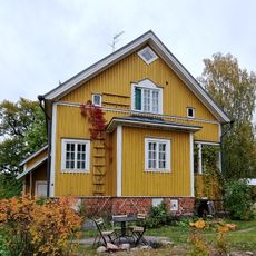
Annalan työntekijöiden asuintalo
230 mReviews
Visited this place? Tap the stars to rate it and share your experience / photos with the community! Try now! You can cancel it anytime.
Discover hidden gems everywhere you go!
From secret cafés to breathtaking viewpoints, skip the crowded tourist spots and find places that match your style. Our app makes it easy with voice search, smart filtering, route optimization, and insider tips from travelers worldwide. Download now for the complete mobile experience.

A unique approach to discovering new places❞
— Le Figaro
All the places worth exploring❞
— France Info
A tailor-made excursion in just a few clicks❞
— 20 Minutes