
Pommiers, commune in Gard, France
Location: Gard
Location: arrondissement of Vigan
Elevation above the sea: 218 m
Industry: administration publique générale
Shares border with: Avèze, Molières-Cavaillac, Montdardier, Saint-Bresson, Saint-Laurent-le-Minier, Le Vigan
Phone: +33467812644
Email: mairie.pommiers30@orange.fr
GPS coordinates: 43.95139,3.60750
Latest update: April 17, 2025 22:42
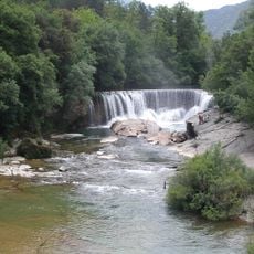
Cascade de la Vis
5.3 km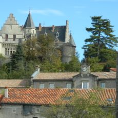
Château de Montdardier
2.8 km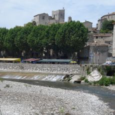
Château de Laroque
9.9 km
Château de Saint-Laurent-le-Minier
4.3 km
Pic d'Anjeau
4.3 km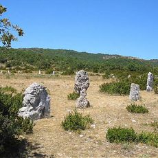
Cromlech de Lacam de Peyrarines
6.8 km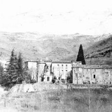
Château de La Valette
6.7 km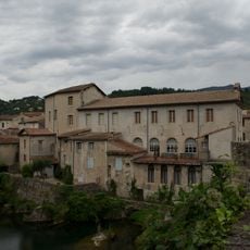
Musée cévenol
4.2 km
Arboretum de Puéchagut
5.2 km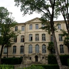
Château d'Assas
4.3 km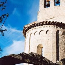
Chapelle St-Jean de Laroque
9.9 km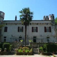
Château d'Isis
6 km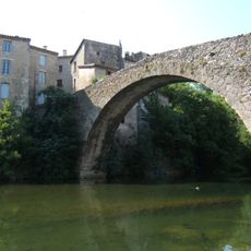
Vieux pont du Vigan
4.2 km
Cromlech de Lacam de Rogues
7.3 km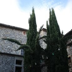
Couvent des Capucins du Vigan
4.4 km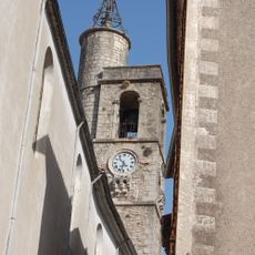
Église Sainte-Marie Notre-Dame de Sumène
9.1 km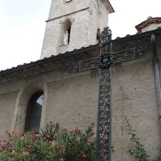
Église Saint-Martin d'Aulas
5.7 km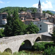
Église Saint-Blaise d'Arre
7.3 km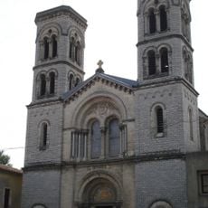
Église Saint-Pierre-et-Saint-Paul de Ganges
8.4 km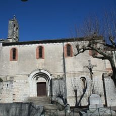
Église Sainte-Marie-Madeleine de Laroque
9.8 km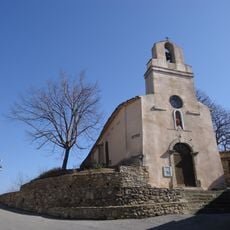
Église Saint-Brice de Saint-Bresson
3 km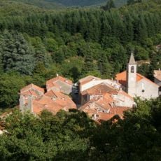
Église Saint-Grégoire-et-Notre-Dame de Beaulieu
7.9 km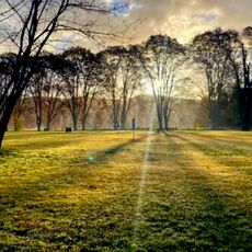
Golf de Cazilhac
9 km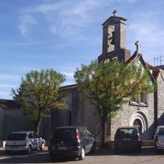
Église Saint-Léonce du Bas
8.6 km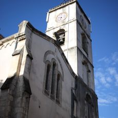
Église Saint-Pierre du Vigan
4.4 km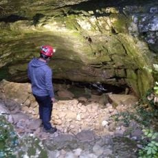
Évent de Rodel
7.2 km
Temple de l'église protestante unie de France de Ganges
8.3 km
Temple de la Tuilière
8.2 kmReviews
Visited this place? Tap the stars to rate it and share your experience / photos with the community! Try now! You can cancel it anytime.
Discover hidden gems everywhere you go!
From secret cafés to breathtaking viewpoints, skip the crowded tourist spots and find places that match your style. Our app makes it easy with voice search, smart filtering, route optimization, and insider tips from travelers worldwide. Download now for the complete mobile experience.

A unique approach to discovering new places❞
— Le Figaro
All the places worth exploring❞
— France Info
A tailor-made excursion in just a few clicks❞
— 20 Minutes