
Saint-Angeau, former commune in Charente, France
Location: canton of Mansle
Location: Charente
Location: arrondissement of Confolens
Elevation above the sea: 89 m
Shares border with: Aussac-Vadalle, Coulgens, Nanclars, La Rochette, Saint-Amant-de-Bonnieure, Saint-Ciers-sur-Bonnieure, Sainte-Colombe
GPS coordinates: 45.84833,0.28667
Latest update: June 14, 2025 04:24
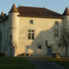
Château de La Rochette
5.4 km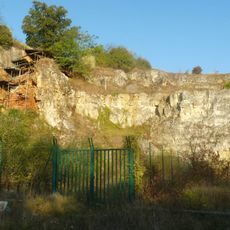
Grotte d'Artenac
3.6 km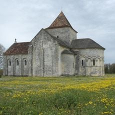
Église Saint-Denis de Lichères
7.5 km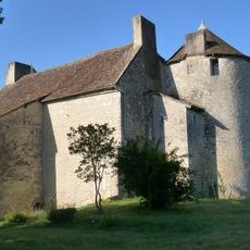
Château de Bourgon
4.9 km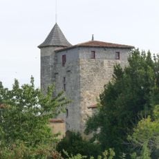
Logis de Sigogne
3 km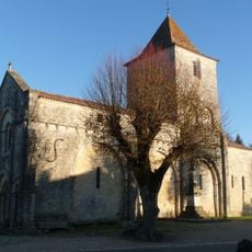
Église Saint-Martial de Mouton
5.9 km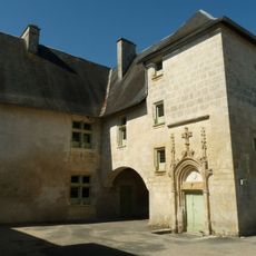
Logis de Saint-Amant-de-Bonnieure
704 m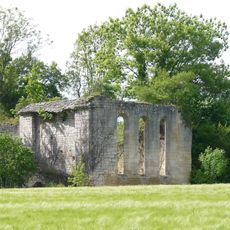
Commanderie de Boixe
8.6 km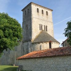
Église Saint-Jean-Baptiste
3.9 km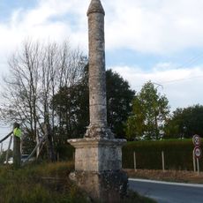
Croix de la Tuilière
8.4 km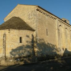
Église Sainte-Colombe de Sainte-Colombe
3 km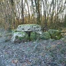
Dolmen de Saint-Ciers-sur-Bonnieure
4.6 km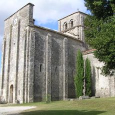
Église Saint-Michel de Nanclars
5.1 km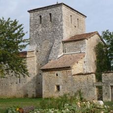
Église Saint-Martin de Ventouse
6.4 km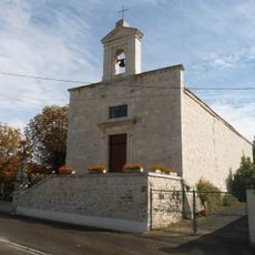
Église Saint-Thomas de Maine-de-Boixe
8.7 km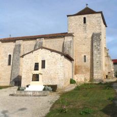
Église Saint-Pierre de Valence
4.8 km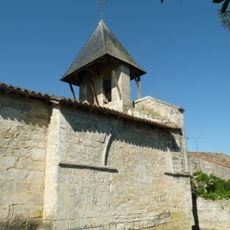
Église Saint-Hilaire de Tourriers
9.3 km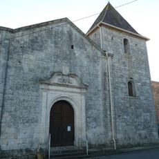
Église Saint-Ciers de Saint-Ciers-sur-Bonnieure
3.4 km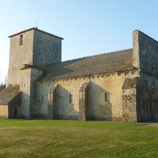
Église Saint-Sébastien de La Rochette
5.5 km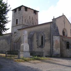
Église Saint-Martin de Jauldes
7.4 km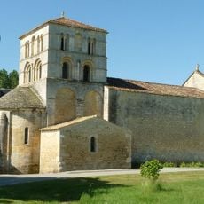
Église Saint-Amant
732 m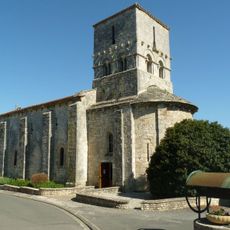
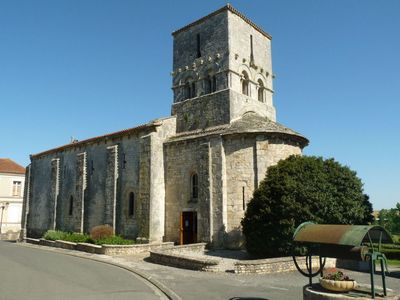
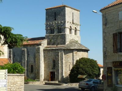
Église Saint-Michel de Saint-Angeau
95 m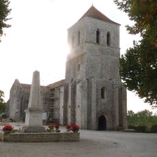
Église Saint-Front de Saint-Front
5.1 km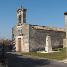
Église Saint-Lazare de Villejoubert
10 km
Église Saint-Laurent de Puyréaux
5.9 km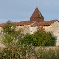
Église Saint-Jean-Baptiste de La Tâche
5.7 km
Fosse Mobile
8.2 km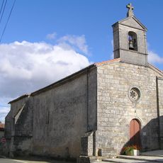
Église Saint-Pierre d'Aussac
7.5 kmReviews
Visited this place? Tap the stars to rate it and share your experience / photos with the community! Try now! You can cancel it anytime.
Discover hidden gems everywhere you go!
From secret cafés to breathtaking viewpoints, skip the crowded tourist spots and find places that match your style. Our app makes it easy with voice search, smart filtering, route optimization, and insider tips from travelers worldwide. Download now for the complete mobile experience.

A unique approach to discovering new places❞
— Le Figaro
All the places worth exploring❞
— France Info
A tailor-made excursion in just a few clicks❞
— 20 Minutes