
Silayang, village in Pasaman Regency, West Sumatra Province, Indonesia
Location: Mapat Tunggul Selatan
GPS coordinates: 0.48700,100.18000
Latest update: March 8, 2025 04:11

Candi Muara Takus
54.1 km
Mount Ophir
50.4 km
Talamau Mount
50.4 km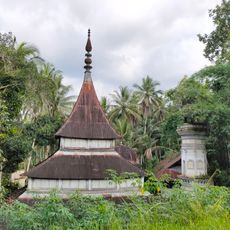
Ampang Gadang Old Mosque
77.5 km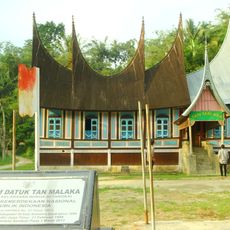
Tan Malaka's Birth House and Museum
69.2 km
Masjid Raya Kajai
45.2 km
Surau Tuanku Pensiun
45.3 km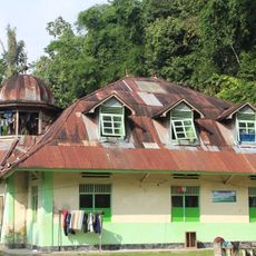
Surau Syekh Abbas Abdullah
77.5 km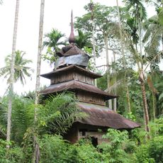
Surau Lama Kesultanan Parit Batu
58.3 km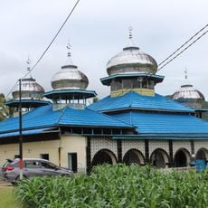
Masjid Suhada Kayu Pasak
68.2 km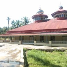
Masjid Akbar
62.4 km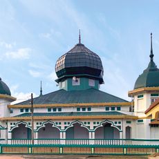
Masjid Raya Pangkalan
75.1 km
Syekh Muhammad Syaid Mosque
56.4 km
Masjid Al-Hikmah Batukambing
77.7 km
Al-Ihsan Limo Koto Mosque
60.2 km
Masjid Jamik Pandam Gadang
69.5 km
Surau Lubuak Landua
53.5 km
Surau Batu Mosque
60.4 km
Surau Tinggi Kumpalan
60.4 km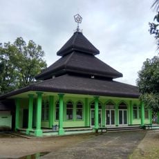
Masjid Suharto
54.2 km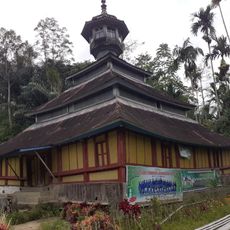
Godang Sungai Naniang Mosque
62.6 km
Padang Japang Grand Mosque
77.6 km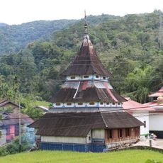
Nurul Hikmah Sipisang Mosque
67.8 km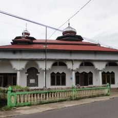
Masjid Mimba Gadang Pasaman
59.4 km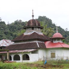
Masjid Simpang Tigo
70.7 km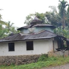
Surau Kampung Bukit
54.7 km
Kompleks Percandian Muara Takus
54.1 km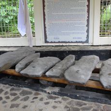
Batu Talempong
66.2 kmReviews
Visited this place? Tap the stars to rate it and share your experience / photos with the community! Try now! You can cancel it anytime.
Discover hidden gems everywhere you go!
From secret cafés to breathtaking viewpoints, skip the crowded tourist spots and find places that match your style. Our app makes it easy with voice search, smart filtering, route optimization, and insider tips from travelers worldwide. Download now for the complete mobile experience.

A unique approach to discovering new places❞
— Le Figaro
All the places worth exploring❞
— France Info
A tailor-made excursion in just a few clicks❞
— 20 Minutes