Thotapalligudur mandal, village in India
Location: Sri Potti Sri Ramulu Nellore district
Capital city: T.P.Gudur Bit-I
Elevation above the sea: 4 m
GPS coordinates: 14.38945,80.08324
Latest update: March 5, 2025 06:42
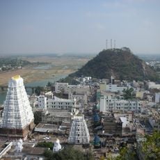
Srikalahasti Temple
82.5 km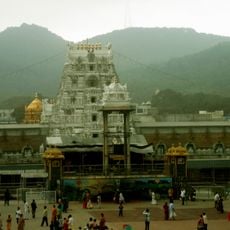
Tirumala Venkateswara Temple
111.8 km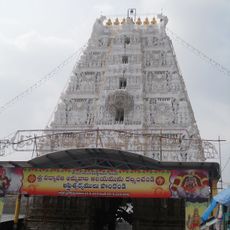
Padmavathi Temple, Tiruchanur
111.8 km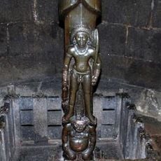
Parasuramesvara Temple
103 km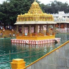
Varahaswamy Temple, Tirumala
111.6 km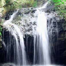
Ubbalamadugu Falls
90.6 km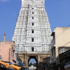
Govindaraja Temple, Tirupati
111.8 km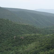
Sri Venkateswara National Park
107.4 km
Pulicat Lake Bird Sanctuary
92.5 km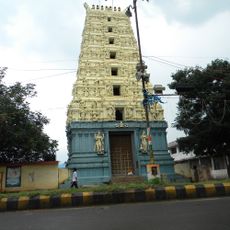
Chengalamma Parameshwari Temple
78.1 km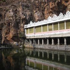
Kapila Theertham
111.8 km
Penchalakona
72.5 km
Natural Arch, Tirumala hills
105.8 km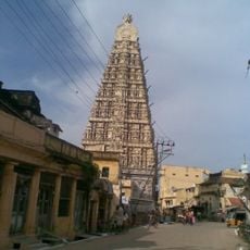
Sri Ranganathaswamy Temple
100.6 km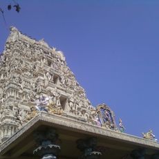
Venkateswara Temple, Dwaraka Tirumala
111.8 km
Eparchaean Unconformity
111.6 km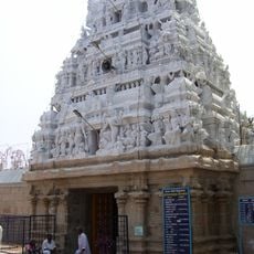
Sri Kodandaramaswami Temple
111.8 km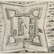
Fort Geldria
110.9 km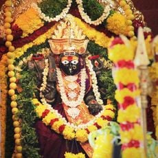
Beeramgunta Poleramma Temple
27.1 km
SiddalaKona
43.6 km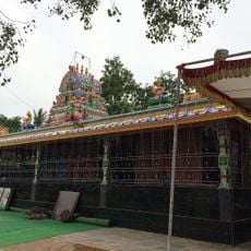
Aretamma Temple
16.8 km
ISKCON Tirupati
111 km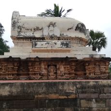
Athirala parasurama temple
100.5 km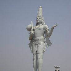
Annamacharya statue in Tallapaka
101.6 km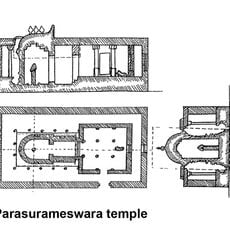
Parasurameswara Temple, Gudimallam
103.2 km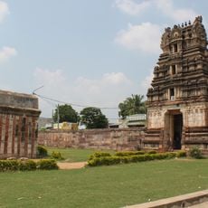
Saumyanatha temple
105 km
Ramayapatnam Lighthouse
73.6 km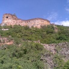
Udayagiri Fort
101.9 kmReviews
Visited this place? Tap the stars to rate it and share your experience / photos with the community! Try now! You can cancel it anytime.
Discover hidden gems everywhere you go!
From secret cafés to breathtaking viewpoints, skip the crowded tourist spots and find places that match your style. Our app makes it easy with voice search, smart filtering, route optimization, and insider tips from travelers worldwide. Download now for the complete mobile experience.

A unique approach to discovering new places❞
— Le Figaro
All the places worth exploring❞
— France Info
A tailor-made excursion in just a few clicks❞
— 20 Minutes