
Euratsfeld, municipality in Amstetten District, Lower Austria, Austria
Location: Amstetten District
Elevation above the sea: 308 m
Shares border with: Amstetten, Sankt Georgen am Ybbsfelde, Ferschnitz, Wang, Randegg, Neuhofen an der Ybbs
Email: gemeinde@euratsfeld.gv.at
Website: http://euratsfeld.gv.at
GPS coordinates: 48.08278,14.93250
Latest update: March 4, 2025 12:33
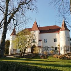
Schloss Senftenegg
4.2 km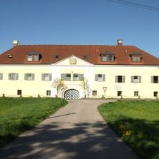
Schloss Auhof Blindenmarkt
6.1 km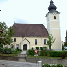
Pfarrkirche Euratsfeld
41 m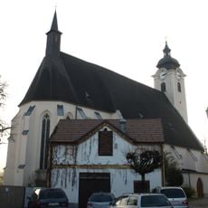
Pfarrkirche Neuhofen an der Ybbs
6.4 km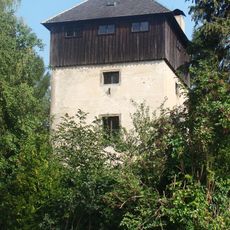
Schloss Freidegg
3.9 km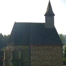
Filialkirche Innerochsenbach
5.5 km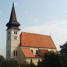
Pfarrkirche Ferschnitz
4.1 km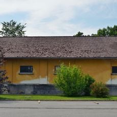
Bundesfohlenhof
7.3 km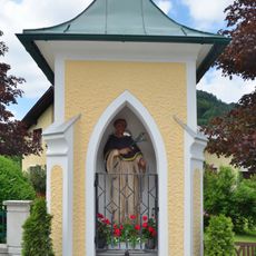
Dominikuskapelle in Schliefau
8 km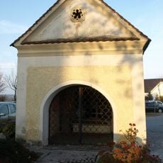
Johannes Nepomuk Kapelle Neuhofen an der Ybbs
6.3 km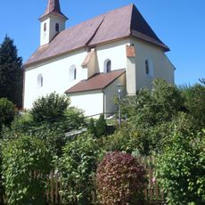
Kath. Filialkirche hl. Nikolaus
4.7 km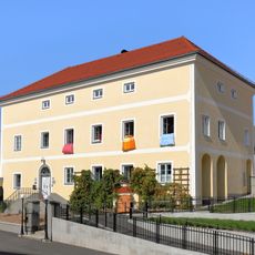
Pfarrhof St. Georgen am Ybbsfelde
5.4 km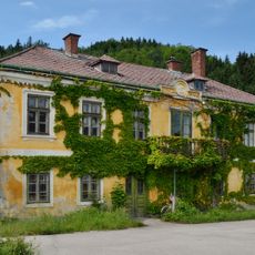
Wimmerhof, Perwarth
7.2 km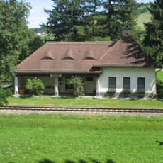
Bahnhof Wang
7.8 km
Schloss Senftenegg
4.2 km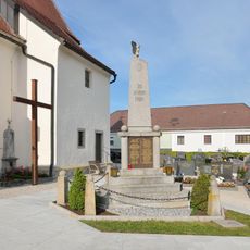
War memorial St. Georgen am Ybbsfelde
5.4 km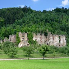
Schlossruine Niederperwarth
7.1 km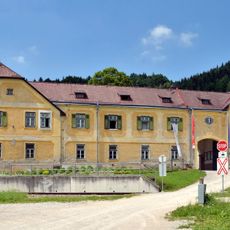
Ehem. Meierhof
7.1 km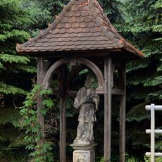
Figurenbildstock hl. Johannes Nepomuk
7.2 km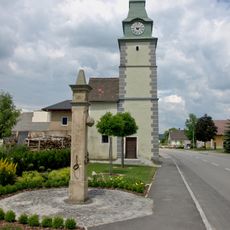
Ortsturm bzw. Marktturm
8.1 km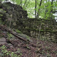
Burgruine Randegg
8.2 km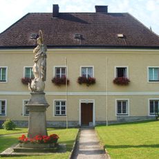
Pfarrhof
4.1 km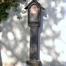
Türkenkreuz St. Georgen am Ybbsfelde
5.4 km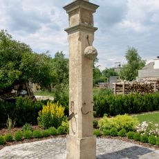
Pranger
8.1 km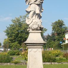
Figurenbildstock Maria Immaculata
4.1 km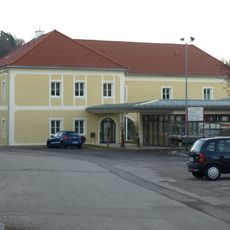
Pfarrhof Neuhofen an der Ybbs
6.5 km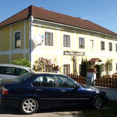
Bürgerhaus
5.5 km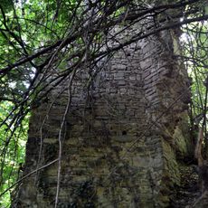
Burgruine Hochperwarth
7.1 kmVisited this place? Tap the stars to rate it and share your experience / photos with the community! Try now! You can cancel it anytime.
Discover hidden gems everywhere you go!
From secret cafés to breathtaking viewpoints, skip the crowded tourist spots and find places that match your style. Our app makes it easy with voice search, smart filtering, route optimization, and insider tips from travelers worldwide. Download now for the complete mobile experience.

A unique approach to discovering new places❞
— Le Figaro
All the places worth exploring❞
— France Info
A tailor-made excursion in just a few clicks❞
— 20 Minutes