
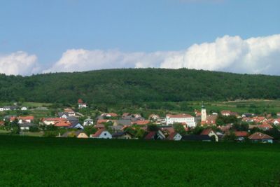
Wölbling, municipality in Sankt Pölten District, Lower Austria, Austria
Location: Sankt Pölten (Land) District
Elevation above the sea: 342 m
Shares border with: Bergern im Dunkelsteinerwald, Paudorf, Statzendorf, Obritzberg-Rust, Dunkelsteinerwald
Email: gemeinde@woelbling.gv.at
Website: http://woelbling.at
GPS coordinates: 48.31667,15.58333
Latest update: March 3, 2025 17:25
Justizanstalt Meidling im Thale, Paudorf
4 km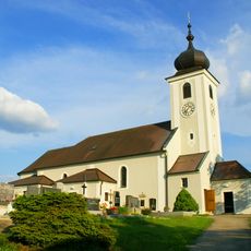
Pfarrkirche Statzendorf
4.5 km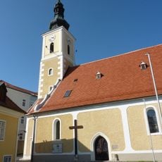
Pfarrkirche Oberwölbling
680 m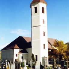
Pfarrkirche Obritzberg
3.1 km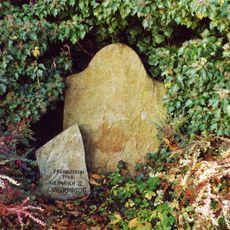
Banntaiding der Pfarrherrschaft Obritzberg
3.1 km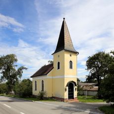
Ortskapelle Weyersdorf
6.2 km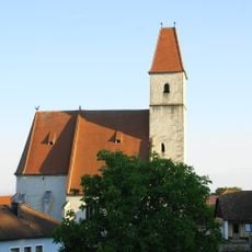
Filialkirche Unterwölbling
1.9 km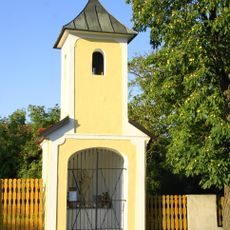
Kapelle Landersdorf
539 m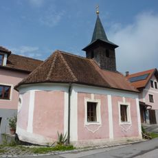
Ortskapelle Wolfenreith
6.2 km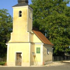
Ortskapelle Hausheim
2 km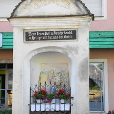
Flur-/Wegkapelle
4.4 km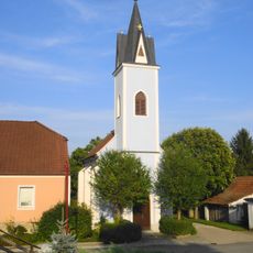
Ortskapelle
4.8 km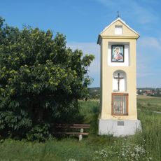
Barbarakreuz
683 m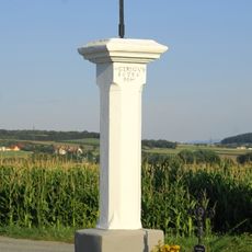
Bildstock, Objekt-ID 73810, Statzendorf
2.9 km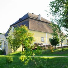
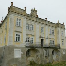
Schloss Landersdorf
636 m
Rathaus/Gemeindeamt
656 m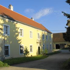
Gutshof/Meierhof (herrschaftlich)
3 km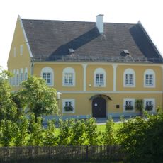
Pfarrhof
504 m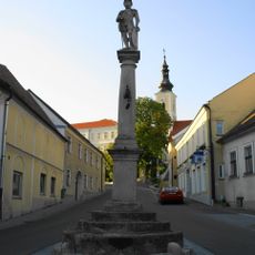
Pranger
639 m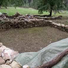
Hofwüstung Ginglsee
5.6 km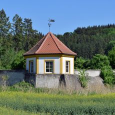
Gartenportal und Gartenpavillon
5 km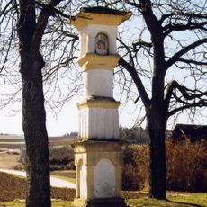
Bildstock
3.2 km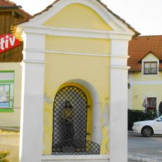
Bildstock Herrgott auf der Wies
817 m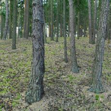
Befestigte Höhensiedlung Singerkreuz
2.6 km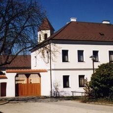
Pfarrhof
3.1 km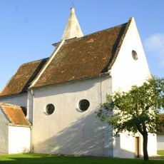
Kapelle Absdorf
3 km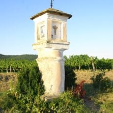
Bildstock, Flötzersteig
1.3 km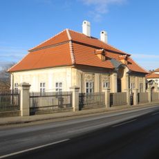
Pfarrhof
4.4 kmVisited this place? Tap the stars to rate it and share your experience / photos with the community! Try now! You can cancel it anytime.
Discover hidden gems everywhere you go!
From secret cafés to breathtaking viewpoints, skip the crowded tourist spots and find places that match your style. Our app makes it easy with voice search, smart filtering, route optimization, and insider tips from travelers worldwide. Download now for the complete mobile experience.

A unique approach to discovering new places❞
— Le Figaro
All the places worth exploring❞
— France Info
A tailor-made excursion in just a few clicks❞
— 20 Minutes